Clear Sky Science · en
Gridded millennial summer temperature dataset over the Yangtze River Basin
Why long term heat records matter here
The Yangtze River Basin in China feeds hundreds of millions of people and supports vast cities, farms, and industries. Summers there are getting hotter, with more frequent and intense heatwaves that strain water supplies, crops, power systems, and public health. Yet until now scientists have only had detailed temperature records for the most recent decades. This study presents a new long term summer temperature dataset for the Yangtze region that stretches back more than a thousand years, giving researchers and planners a clearer view of how today’s warming compares with natural ups and downs of the past.
A closer look at a vital river region
The Yangtze River runs from glaciers on the Tibetan Plateau through steep mountain valleys and wide lowland plains before reaching the East China Sea. This varied landscape makes its climate patterns complex and uneven. Instrument records from ground weather stations and modern gridded products already show that the region has warmed strongly in recent decades, with rising average temperatures and more extreme hot events. However, most of these data only begin in the early or mid twentieth century, which makes it hard to judge whether recent changes are unusual in the context of the last millennium.

Blending models and natural clues
To extend the record, the authors combine three main sources of information. First, they use nine global climate model simulations that cover the period from the year 850 to 2005. These models provide continuous coverage but have large biases at the regional scale. Second, they draw on four existing reconstructions of past summer temperatures that were built from natural archives such as tree rings and other climate sensitive records, some focused on Asia and East Asia. Third, they use a modern gridded dataset based on thermometer readings, which serves as a reference for correcting the models. All datasets are brought onto a common one degree by one degree grid over the Yangtze Basin, which is fine enough to reflect major differences between the cool, high western plateau and the warmer, lower eastern plains.
How the team sharpened the picture
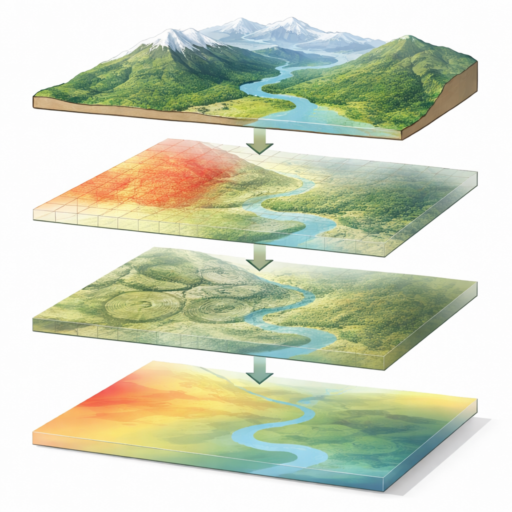
The study improves temperature estimates in three steps. First, instead of simply averaging the nine climate models, the authors assign each model a weight at every grid cell based on how well it matches observed twentieth century temperatures. This creates a performance based ensemble that filters out some of the worst model errors. Second, they apply an updated form of statistical bias correction that aligns the full distribution of simulated temperatures with the observed one, not just the mean. This approach, based on cumulative distribution functions, is particularly effective at adjusting extremes and reduces typical errors by several degrees Celsius compared with the raw models.
Adding depth with paleoclimate records
The third step addresses a remaining weakness: while the corrected models capture year to year swings well, they are less reliable for slower changes that unfold over decades. To strengthen these low frequency signals, the authors merge the bias corrected model output with the four paleoclimate datasets using a grid by grid weighting method. The weights depend on how closely each dataset matches observed temperatures where they overlap in time. Because the different sources cover different centuries, the team divides the last millennium into four subperiods and integrates only the products that exist in each slice, discarding early years with missing values to preserve data quality. Statistical tests show that this integrated product better reproduces observed patterns than either the models or the existing reconstructions alone, especially in the complex high elevation headwaters.
What the new record reveals
With this combined approach, the authors produce a summer temperature dataset for the Yangtze Basin from 850 to 2023. The record shows clear year to year variability and longer multidecadal warm and cool phases, including notably cold intervals linked with known volcanic and solar changes, and warm periods such as the early thirteenth century and the late twentieth and early twenty first centuries. Comparisons with independent tree ring and multi proxy reconstructions in different parts of China show broad agreement on the timing of many major swings, even though some differences remain in earlier centuries due to regional and seasonal coverage. Overall, recent warming since the 1920s stands out as especially strong.
Why this matters for the future
In simple terms, this work gives climate scientists and water managers a long and detailed thermometer for one of the world’s most important river basins. By showing how present day heat compares with the natural range of the past thousand years, the dataset can help test climate models, refine projections of future heatwaves, and support studies of impacts on floods, droughts, ecosystems, and agriculture. Although there are still uncertainties, especially in the earliest centuries, the data suggest that modern summer warmth in the Yangtze region is unusually high and that further warming will build on top of already elevated temperatures, with important consequences for people and the environment.
Citation: Dilawar, A., Duan, J., Liu, Y. et al. Gridded millennial summer temperature dataset over the Yangtze River Basin. Sci Data 13, 687 (2026). https://doi.org/10.1038/s41597-026-06959-0
Keywords: Yangtze River Basin, summer temperature, paleoclimate, climate data, heatwaves