Clear Sky Science · en
An Open Dataset of Yangtze River Docks Based on OSM and Google Satellite Imagery (2024)
Why River Docks Matter to Everyday Life
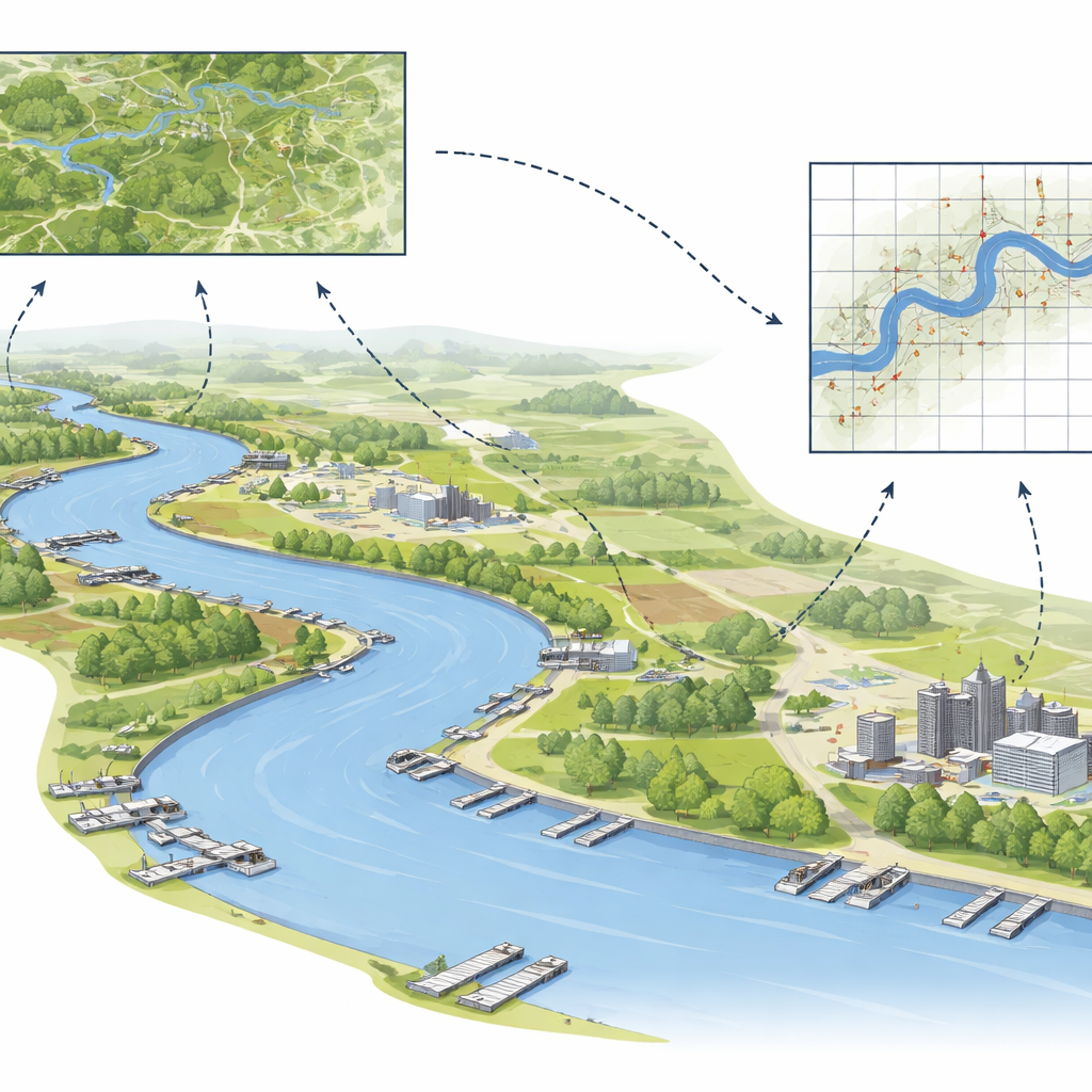
Along the banks of great rivers, docks quietly keep regional economies moving. They are the spots where farm goods, factory products, and daily necessities are loaded and unloaded, linking small towns to national and global trade. Yet, despite their importance, many of these river docks are poorly mapped, making it hard for planners, environmental managers, and emergency responders to see the full picture. This study builds the first open, detailed map of thousands of inland docks along China’s Yangtze River, using freely available online maps and satellite images so that anyone can explore and analyze this critical infrastructure.
Looking Closely at a Giant River
The Yangtze River is the world’s third-longest river and the busiest inland waterway in China, supporting more than 40% of the country’s economic output. Along its upper, middle, and lower reaches lie countless docks of very different shapes and sizes. The authors focus on two main kinds: floating docks, which sit on the water and are connected to shore by ramps, and vertical docks, which are built as solid platforms held up by concrete supports. Mapping these structures in a consistent way is not just a cartographic exercise; it is a foundation for understanding how trade, industry, and communities are arranged along this vast river system.
Turning Volunteer Maps and Space Images into Data
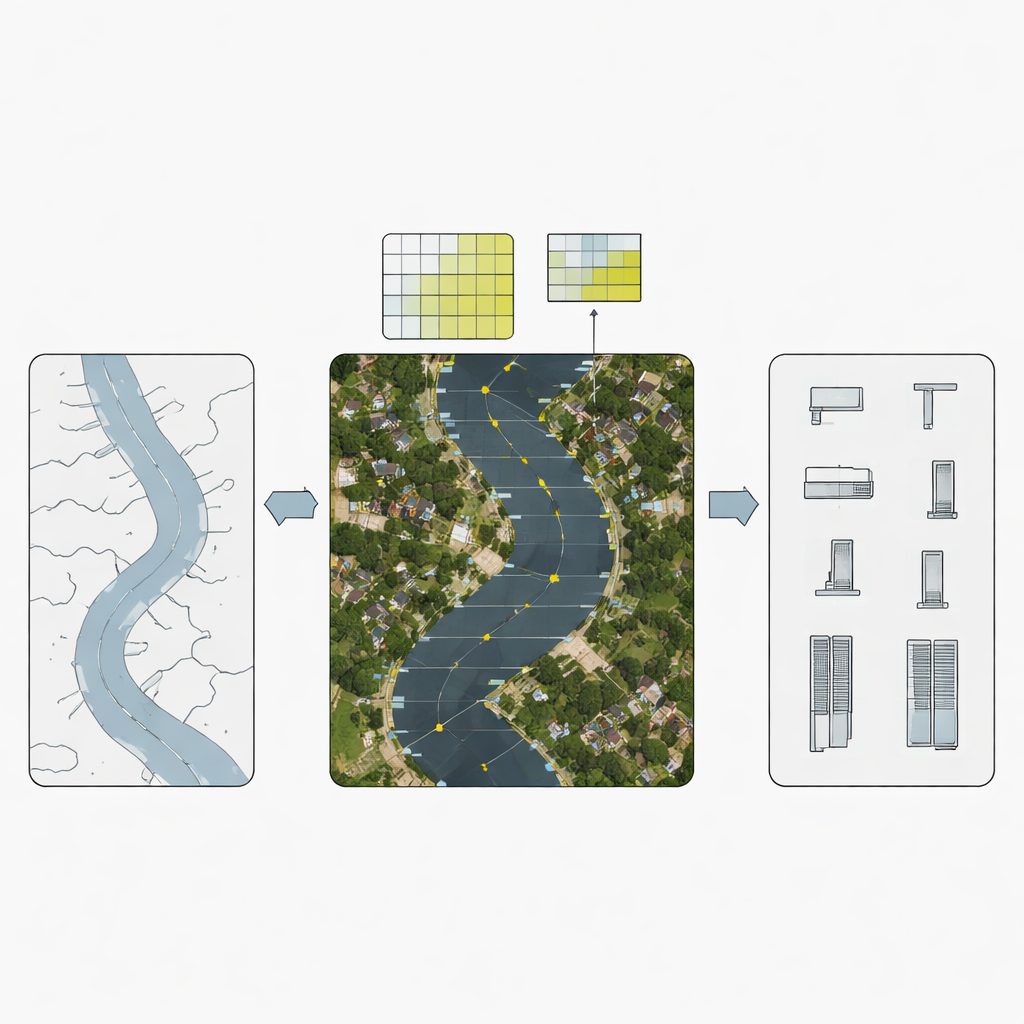
To find docks efficiently along such a long river, the researchers combined two free data sources: OpenStreetMap, where volunteers around the world trace features like piers and docks, and high-resolution Google satellite imagery, which shows the actual shapes on the ground (or water). They first pulled all candidate dock locations from OpenStreetMap using standard tags. Around each of these locations, they created small square zones and downloaded detailed satellite images. Human annotators then drew boxes around visible docks and tagged whether they were floating or vertical, carefully excluding nearby ships and auxiliary structures. This produced a curated set of 2,717 confirmed docks that could be used to teach a computer what inland docks look like from space.
Teaching Computers to Spot Tiny Docks
With this training set in hand, the team evaluated eight versions of a popular artificial intelligence approach for object detection known as the YOLO family. These models scan images for patterns that match the examples they were given and return likely locations of similar objects. The simpler YOLOv5 model turned out to work better than newer, more complex versions, especially given the limited number of training examples and the irregular shapes of docks. Still, there was a major challenge: in satellite images, small floating docks can resemble anchored ships. To reduce mix-ups, the researchers devised a multi-scale strategy, running detections on both smaller and larger image grids and cross-checking the results. When a detection appeared consistently at both scales, it was more likely to be a real dock and less likely to be a ship or noise.
Building a Trustworthy Map of Thousands of Docks
Using the best-performing model and the multi-scale approach, the study detected 3,562 docks along the Yangtze—2,738 floating and 824 vertical. The authors provide two complementary data products: simple rectangular boxes that show where each dock lies, and more detailed outlines that trace the actual dock shapes. To check that these outlines were reliable, professional surveyors independently redrew a sample of dock boundaries from the same satellite images. Their results closely matched the dataset, indicating high accuracy. In formal tests, the method reached high scores for both how many true docks it found and how few false ones it reported, confirming that this is not just a rough sketch but a robust map.
What This Means for Rivers, Trade, and the Environment
By turning scattered volunteer map entries and raw satellite pictures into a clean, open dataset, this work gives planners, economists, and environmental scientists a powerful new lens on the Yangtze River. The data can be used to see where docks are clustered, how fairly infrastructure is distributed, and how dock locations relate to local economies and water quality. It can also help model how disruptions at certain docks might ripple through the wider shipping network. Although this dataset focuses on one river, the same recipe—combining citizen-mapped data with high-resolution imagery and smart detection techniques—can be applied to river systems around the world. In simple terms, the study shows how we can use free, global digital tools to make hidden parts of our transport networks visible, measurable, and easier to manage responsibly.
Citation: Zhou, Q., Ren, F., Zhang, H. et al. An Open Dataset of Yangtze River Docks Based on OSM and Google Satellite Imagery (2024). Sci Data 13, 645 (2026). https://doi.org/10.1038/s41597-026-06901-4
Keywords: Yangtze River, inland docks, satellite imagery, OpenStreetMap, port infrastructure