Clear Sky Science · en
A century long ensemble streamflow dataset in the Pacific Northwest to support water security assessments
Why future river flows matter to people
For communities in the Pacific Northwest, rivers are the quiet engines behind lights turning on, crops growing, salmon returning, and cities staying safe from floods. Yet as the climate warms, the timing and amount of water in these rivers are shifting. This paper introduces a new, century long dataset that traces how streamflow across the region may change from the mid 20th century to the end of this century, giving planners, scientists, and the public a clearer picture of water security in a warming world.
Looking beyond the historical record
Until recently, long term water planning in the region relied mainly on past river records, sometimes stretched with statistical tricks to imagine rare floods or droughts. That approach assumes the future will resemble the past, which is less and less true as greenhouse gas emissions warm the planet. Observations already show warmer temperatures, shrinking snowpack, and earlier spring runoff in the Pacific Northwest, and climate model studies suggest these trends will continue. To move beyond guesswork, this study uses modern climate models and hydrologic tools to build a physically based picture of how rivers may behave from 1950 to 2099.
Following water from sky to river
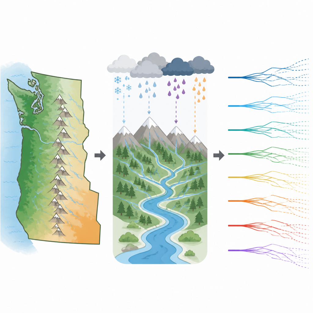
The authors build what they call a climate to river chain: a step by step set of models that starts with global climate simulations and ends with daily flow in individual river reaches. They select 26 combinations of global climate models and future emissions pathways from two major international projects. Because those global models are too coarse to resolve the complex mountains of the Pacific Northwest, the team applies a fast atmospheric model that refines temperature and precipitation patterns down to a few kilometers, preserving realistic storms rather than simply reshuffling past weather. A separate program then turns these daily values into the full suite of weather inputs needed to drive a detailed land surface and river routing model.
Building realistic rivers across the region
At the heart of the work is a calibrated hydrologic system that treats the landscape as thousands of linked catchments rather than a simple grid. The land model simulates how snow accumulates and melts, how water soaks into soils and aquifers, and how plants return moisture to the air. A companion river network model then moves this runoff through nearly 18,000 river segments, producing daily streamflow traces over 150 years. To make the simulations resemble natural conditions, the authors carefully tune model parameters using long records of streamflow that have been adjusted to remove the effects of dams and irrigation. They then apply an additional correction that reduces remaining biases while keeping flows consistent along the river network.
What the dataset reveals about future water
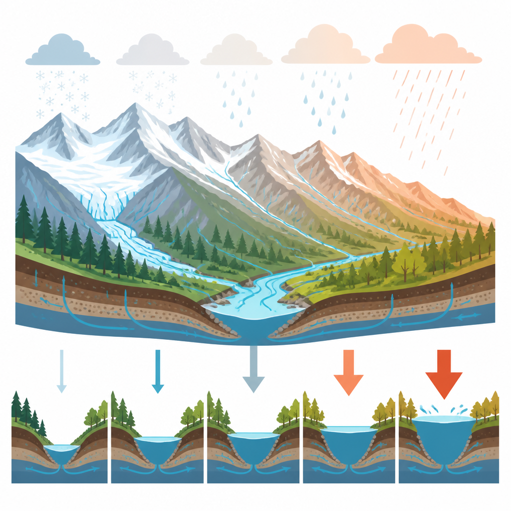
With this system in place, the study produces 29 daily flow traces for each river reach under different climate futures. The results show patterns that matter for both ecosystems and infrastructure. In snow dominated basins, peak flows tend to arrive earlier in the year as more winter precipitation falls as rain instead of snow, while fall and winter runoff often increases. In coastal basins, heavier cool season rains raise high flows, even as spring flows weaken. Across much of the interior, average annual flow and especially peak flow intensities increase under high emission scenarios, meaning that floods of a given size are expected to occur more often later in the century. At the same time, low flows are harder to represent accurately, and the model tends to underestimate them, a caution for drought studies.
How this helps communities plan ahead
For non specialists, the key outcome is not a single prediction but a rich library of possible river futures grounded in physics rather than simple extrapolation. Water managers can use these daily traces as inputs to reservoir, flood risk, and ecological models to test how existing systems stand up to changing snowpack, earlier runoff, and more frequent high flows. Because the simulations remove direct human influences, they provide a clean baseline against which to compare the effects of dams, diversions, or new management strategies. While the authors stress that the dataset is best suited to long term statistics, not to recreating specific past storms, it offers a powerful tool for understanding how a warming climate reshapes the lifeblood rivers of the Pacific Northwest.
Citation: Mizukami, N., Gutmann, E.D., Wood, A.W. et al. A century long ensemble streamflow dataset in the Pacific Northwest to support water security assessments. Sci Data 13, 737 (2026). https://doi.org/10.1038/s41597-026-06865-5
Keywords: Pacific Northwest rivers, streamflow projections, climate change impacts, water resources planning, snowpack and runoff