Clear Sky Science · en
Oceanic upper crustal accretion by melt sill and lava flow interaction at Axial volcano
Hidden Changes Beneath the Ocean Floor
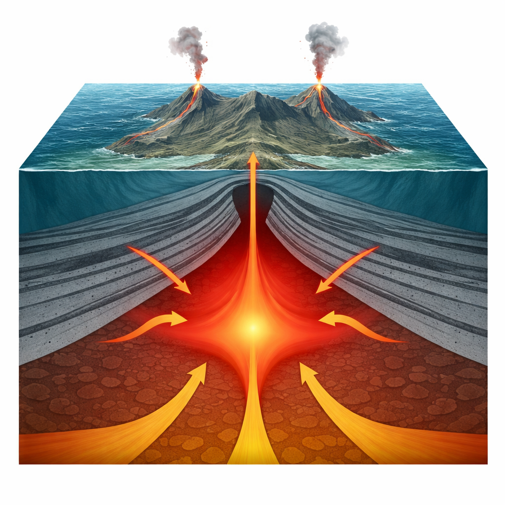
Far from shore, along the Juan de Fuca Ridge in the northeast Pacific, a huge undersea volcano called Axial is slowly building new ocean crust. This study uses advanced seismic imaging—essentially, 3D ultrasound of the Earth—to reveal that the upper part of that crust forms in a surprisingly different way than geologists long assumed. Instead of neat stacks of frozen underground “pipes,” Axial’s crust looks like sagging, inward-tilted sheets of lava that interact closely with pockets of molten rock. These findings reshape how scientists think new ocean floor grows where a mid-ocean ridge is influenced by a deep mantle hotspot.
Rethinking the Classic Layer Cake
For decades, the standard picture of oceanic crust resembled a tidy layer cake. According to this view, the upper crust is made of surface lava flows underlain by a thick vertical “sheeted dyke” complex—slabs of frozen magma that once fed eruptions. This structure explained seismic data and observations from rare places where deep ocean crust is exposed on land. But at Axial volcano, where a ridge and mantle plume meet, that simple model did not quite fit. Earlier surveys hinted at a broad magma body and an unusual boundary within the crust, yet they lacked the fine detail needed to see how individual lava units were actually arranged.
Peering Inside Axial Volcano in 3D
In 2019, researchers collected an exceptionally dense three-dimensional seismic dataset over a 40-by-16 kilometer area at Axial. By carefully processing these signals with pre-stack depth migration and related techniques, they produced clear images of reflective horizons between the seafloor and a deeper “magma domain.” These horizons turn out to be packages of lava flows stacked into a thick pile more than 3 kilometers deep. Rather than lying flat, many of these layers gently tilt inward toward the central caldera and along the north and south rift zones, with dips that grow steeper with depth. This geometry is consistent across most of the survey area and suggests that the lava pile has sagged and thickened near the volcano’s center.
When Lava Sheets Meet Molten Rock
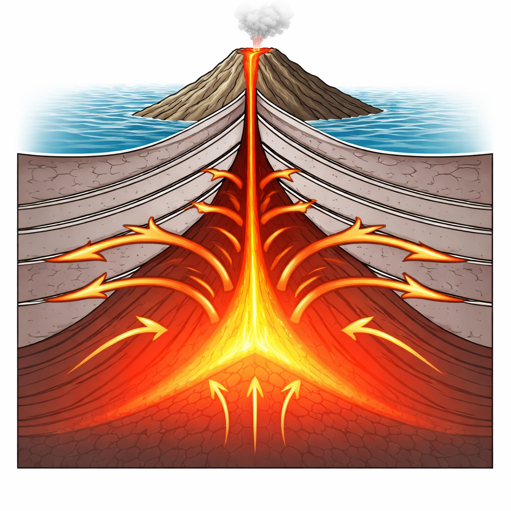
The same images also sharpen the picture of the magma domain itself. Instead of a single smooth lens, the top of this zone appears as a cluster of bright, sill-like bodies that form funnel-shaped boundaries beneath the summit and rift zones. Crucially, some inward-tilted lava flow layers bend right down into contact with the top of this magma region, while elsewhere thin tongues of melt seem to be injected outward between the lava layers. This means that molten rock is not just rising straight up through vertical cracks; it is also spreading sideways as horizontal sheets that thread into the existing lava pile. Over time, repeated injections and cooling likely heat, dry out, and strengthen the surrounding rocks, changing their physical properties in ways that match the observed seismic velocities.
Sagging Crust and Vanishing Pipes
The inward tilt of the lava layers offers clues to Axial’s restless history. Modern eruptions in 1998, 2011, and 2015 all began near the caldera edge and then sent dykes and lava along the rift zones for tens of kilometers. Each major withdrawal of magma from beneath the summit would cause the overlying crust to subside, much like a roof sagging after material is removed from below. The 3D images capture the cumulative effect of many such events: lava piles that thicken toward the caldera and rifts, cut by small faults and rotated blocks. Notably absent is any clear sign of a thick, laterally continuous sheeted-dyke complex. The team argues that many dykes feeding eruptions are later “erased” as they are melted back into the magma domain or overshadowed by repeated sill intrusions.
A New View of Ocean Crust Growth
By combining imaging with high-resolution seismic velocity analysis, the study suggests that a well-known seismic boundary—long thought to separate surface lavas from a deep dyke complex—actually marks a shift from relatively cool, water-rich lava flows to hotter, dehydrated, and sill-intruded rocks. In other words, it is a physical and chemical transition zone, not the top of a pipe forest. At Axial volcano, the upper crust appears to be built mainly by the interaction of lava flows and laterally injected melt sills, with parts of the lava eventually being reheated and assimilated into the magma body. This “sill-and-lava” style of crust formation may be typical of ridge segments influenced by hotspots, such as Iceland, and represents an endmember way that Earth manufactures new ocean floor.
Citation: Wu, H., Xie, W., Singh, S.C. et al. Oceanic upper crustal accretion by melt sill and lava flow interaction at Axial volcano. Nat Commun 17, 3512 (2026). https://doi.org/10.1038/s41467-026-70033-x
Keywords: oceanic crust, mid-ocean ridge, Axial Seamount, magma sills, seismic imaging