Clear Sky Science · en
Distribution prediction and driving mechanism of Neolithic settlements in the Jing River Basin, Northwest China
Tracing Ancient Lives Along a River
The Jing River Basin in northwest China was once a busy corridor of early farmers, herders, and traders, and a key link along the ancient Silk Road. This study asks a deceptively simple question with big implications: why did Neolithic people choose to live where they did, and how did climate and landscape changes push them to move over time? By blending archaeology, satellite-style maps, and modern machine learning, the authors reconstruct how ancient communities adapted, migrated, and laid foundations for later civilizations such as the Zhou.
Reading the Land with Smart Maps
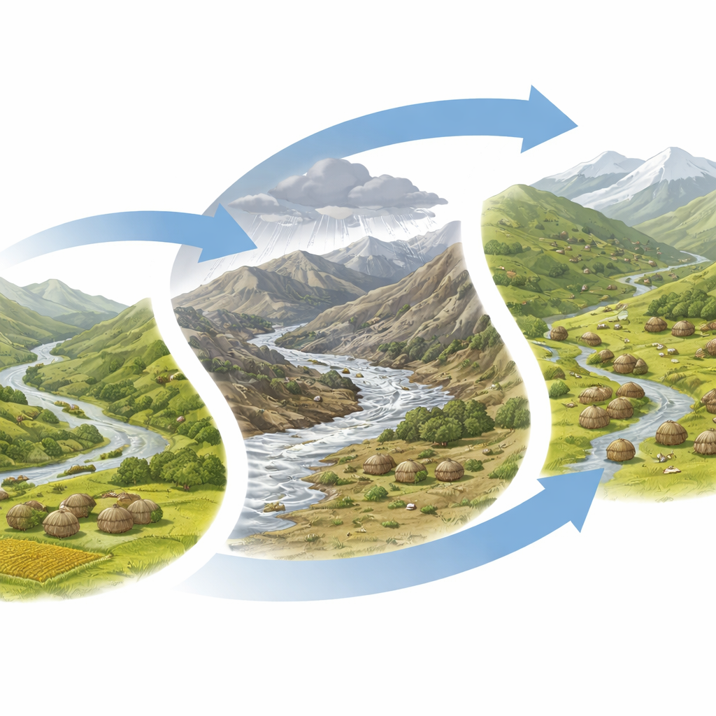
To explore this ancient story, the researchers focused on the Jing River Basin, a rugged slice of the Loess Plateau with steep mountains upstream and fertile plains downstream. They assembled information on more than a thousand Neolithic sites, mainly from the middle and late Neolithic periods. For each site, they examined key features of the surrounding landscape: height above sea level, closeness to rivers and large settlements, slope and roughness of the ground, vegetation cover, soil, and land use. Using geographic information systems (GIS), they turned this patchwork of data into detailed digital maps.
Teaching Computers to Spot Hidden Villages
Instead of relying only on expert intuition, the team trained several computer models to learn the patterns behind where ancient settlements tend to appear. They compared classical statistics with more flexible machine learning methods, including neural networks, random forests, and a powerful approach called XGBoost. By feeding in thousands of examples of known sites and non-sites, the models learned which combinations of terrain, water, vegetation, and social factors best predicted where people once lived. XGBoost proved the most accurate and stable, correctly identifying likely locations far better than random searching and singling out small portions of the basin as high-probability zones for undiscovered sites.
Shifting Choices as Climate Turned Harsher
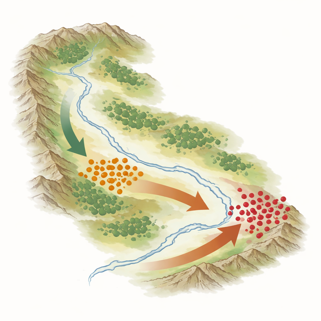
The models also revealed that what mattered most to Neolithic people changed over time. In the middle Neolithic, when the climate was warm and relatively wet, communities favored moderate elevations between about one and one-and-a-half kilometers above sea level and settled close to rivers but safely above floodplains. Two factors stood out: elevation and distance from large, important sites. People clustered around big settlements in stable, well-watered landscapes that supported millet farming and hunting, forming tightly linked social centers that anchored regional life.
Moving Upslope and Downriver Crossroads
By the late Neolithic, the picture grew more complicated. The climate cooled and became drier, and evidence of major floods appears in the river gorges. The models show that vegetation health and ground roughness now played a leading role in where people settled. More sites appeared at higher elevations, and many communities moved closer to rivers again, but now in new zones that balanced water access with safety. Overall, settlements shifted westward and southward into higher mountains and strategic river crossings. This fits with archaeological clues for more mixed economies that combined grain farming with grazing livestock in upland pastures, and for growing cultural contact between regions to the west (Ganqing) and south and east (Guanzhong).
Guiding Future Digs and Protecting the Past
Beyond retelling an ancient migration, the study builds a practical tool for today. Its high-precision prediction maps can help archaeologists target limited fieldwork to the likeliest zones for new discoveries, and give planners advance warning about areas where construction might threaten buried heritage. For a general reader, the core message is clear: by carefully reading the landscape with modern algorithms, we can see how early communities responded to shifting climates—first clustering in safe, fertile river terraces, then fanning out toward higher ground and new resource zones—and how those choices helped set the stage for the rise of later Chinese civilizations.
Citation: Zhang, J., Zhang, H., Li, J. et al. Distribution prediction and driving mechanism of Neolithic settlements in the Jing River Basin, Northwest China. npj Herit. Sci. 14, 274 (2026). https://doi.org/10.1038/s40494-026-02550-3
Keywords: Neolithic settlements, Jing River Basin, human–environment interaction, archaeological predictive modeling, Loess Plateau