Clear Sky Science · en
Research on spatiotemporal evolution patterns and driving mechanisms of material cultural heritage based on machine learning
Why Ancient Roads Still Matter Today
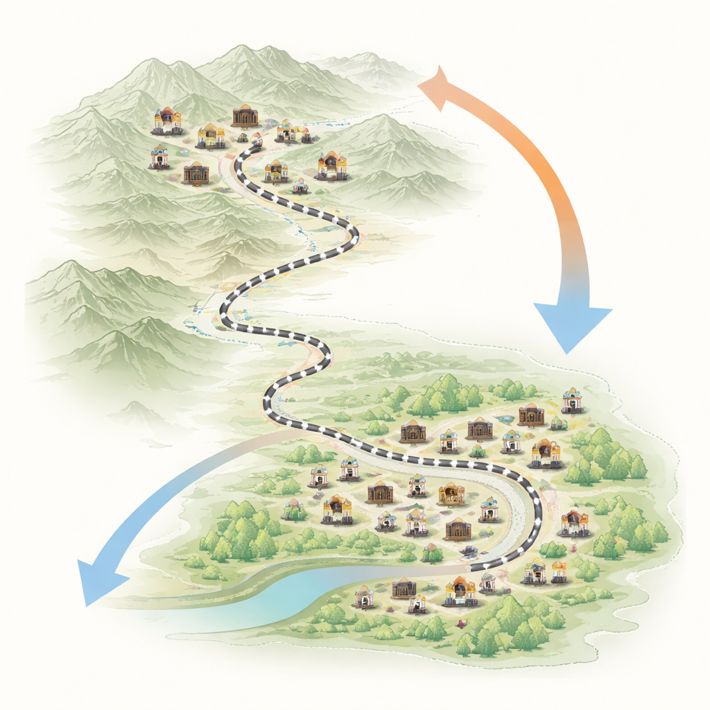
Long before highways and high-speed trains, China’s Shu Road carved a perilous path through steep mountains to link the country’s heartland with the southwest. Along this route grew towns, temples, fortresses and bridges that still dot the landscape today. This study asks a deceptively simple question with modern tools: why did these places appear where they did, and how did their pattern change over more than two thousand years? By combining historical records, old maps, and machine learning, the authors uncover how terrain, water, politics and people jointly shaped this cultural corridor—and how that knowledge can help protect it now.
A Mountain Road of Memory
The Shu Road is not a single track but a bundle of seven main routes threading across the rugged Qinling and Daba Mountains between today’s Shaanxi and Sichuan provinces. The authors treat the physical remains along these roads as a kind of long-lived archive: not just the road structures themselves, but also roadside towns, cliff carvings, city gates, passes and religious buildings. They organize these remains into five groups—roads, supporting structures and monuments, settlements, military sites and religious relics—and trace their appearance across major historical periods from before Imperial China to the Ming and Qing dynasties. In doing so, they turn a scattered collection of ruins into a coherent picture of how a frontier corridor gradually became a dense cultural heartland.
How the Center of Heritage Moved South
By mapping every known site into a geographic information system and using a statistical technique called kernel density estimation, the team tracks where heritage sites clustered most strongly in each era. Early on, remains are concentrated in the north, near the old political center on the Guanzhong Plain, with only a few outposts in Sichuan. Over time, especially after the Sui and Tang dynasties when the Yangtze basin rose in economic importance, the balance shifts. By the Ming and Qing period, dense bands of sites line the Jinniu, Micang and Lizhi roads in Sichuan, while northern stretches hold only thinner clusters. Each type of heritage follows its own path: road structures stay more common in the north, roadside monuments and temples accumulate along the Jinniu Road, and religious sites evolve from a few cliff carvings to a rich web of temples and palaces stretching between key cities.
Reading the Landscape of Old Settlements
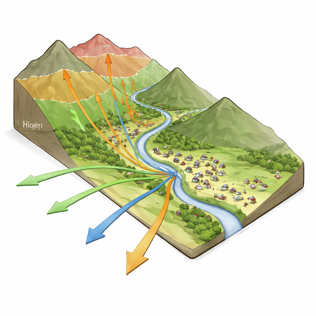
To move beyond description, the authors zoom in on settlement heritage—towns and villages that once served travelers, soldiers and traders. These places best capture the long-term give-and-take between people and landscape. The team divides the study area into a grid and, for each cell, notes whether a Ming–Qing settlement site is present. They then assemble ten factors that might influence where such settlements form, ranging from altitude, slope and river proximity to distance from major roads, nearness to transport hubs, administrative rank and estimated population density. With these inputs they test several modern machine learning methods and find that a model called CatBoost best predicts where settlements appear while avoiding overfitting to the known data.
What Drove Towns to Take Root
Using an explanation technique known as SHAP, the researchers peer inside the chosen model to see which factors matter most and how their influence changes with conditions. Population density emerges as the single strongest signal, but not in a simple “more is always better” way: at low levels, increases strongly encourage settlement formation, while beyond a certain point the benefit plateaus. Water and movement come next. Settlements are far more likely near rivers, close to the Shu Road main lines and near transport hubs, with the influence dropping off sharply beyond tens of kilometers. Terrain exerts its own thresholds: gentle or moderately sloping land and mid-range elevations support dense settlement, while very rugged relief or very high altitudes tend to suppress it—except where military or strategic needs overrule comfort, as at mountain passes.
When Nature and Society Interact
The analysis also shows that no single factor acts alone. Certain combinations of slope and landform, for instance, change from hindering to favoring settlements once they hit a “sweet spot” of moderate steepness in hilly country, where defense and varied resources outweigh difficulty of access. High-level administrative centers amplify the pull of surrounding areas, especially at suitable elevations, while large rivers can be both blessing and threat: moderate water systems nourish settlements, but very wide river zones may bring flood risk that pushes people back. Together, these interactions sketch a nuanced picture in which communities balance safety, access, resources and power when choosing where to build and rebuild towns along the road.
Why These Findings Matter Now
For non-specialists, the study’s takeaway is that the Shu Road’s cultural sites are not random leftovers; they are the visible trace of long-term negotiations between land, water, trade routes and human decisions. Over centuries, the focus of life along this corridor drifted southward, and different kinds of heritage—forts, temples, bridges, villages—settled into distinct spatial patterns. By using modern machine learning to decode these patterns, the authors identify which stretches of the route are most densely layered with history and which environmental and social pressures made them so. That knowledge offers practical guidance for today’s planners: it helps target conservation to the most vulnerable and significant zones, informs risk management for hazards such as floods or erosion and provides a template for understanding and protecting other linear heritage corridors around the world.
Citation: Zhang, H., Shu, B., Wei, Y. et al. Research on spatiotemporal evolution patterns and driving mechanisms of material cultural heritage based on machine learning. npj Herit. Sci. 14, 249 (2026). https://doi.org/10.1038/s40494-026-02505-8
Keywords: Shu Road, cultural heritage, spatial patterns, machine learning, China history