Clear Sky Science · en
GPU-accelerated city-scale urban flood forecasting for real-time decision-making
Why fast flood forecasts matter for cities
When a cloudburst hits a city, streets can turn into rivers in minutes. For residents, that can mean flooded basements, stranded buses, and costly repairs. This article explores a new way to forecast neighborhood‑by‑neighborhood flooding fast enough to help emergency managers act before the worst water arrives, using Chicago’s Cook County as a real‑world test case.
Rising water in a changing city
Around the world, more intense rainstorms are colliding with growing cities, paving, and aging pipes. Chicago is no exception. Nearly half of its roads and much of its bus network sit in areas that can flood. Recent storms, including a July 2023 downpour that dumped more than 200 millimeters (about eight inches) of rain in six hours, caused hundreds of millions of dollars in damage and thousands of flooded homes. Many complaints come not from river overflows but from water backing up into basements and low‑lying streets, revealing how complex the city’s surface and underground drainage really is.
Why traditional tools fall short
Managing these floods involves a patchwork of city, regional, state, and federal agencies that need clear, timely information: where is it raining hardest, which blocks are already underwater, and which neighborhoods will flood next. Conventional computer models can estimate flooding, but they often run too slowly and use grids that are too coarse to capture the details that matter in a dense city—curbs, alleyways, underpasses, and small dips in the road that decide whether water ends up in a sewer or someone’s basement. Simpler terrain‑based methods are quick but miss the moving, street‑by‑street behavior of stormwater.
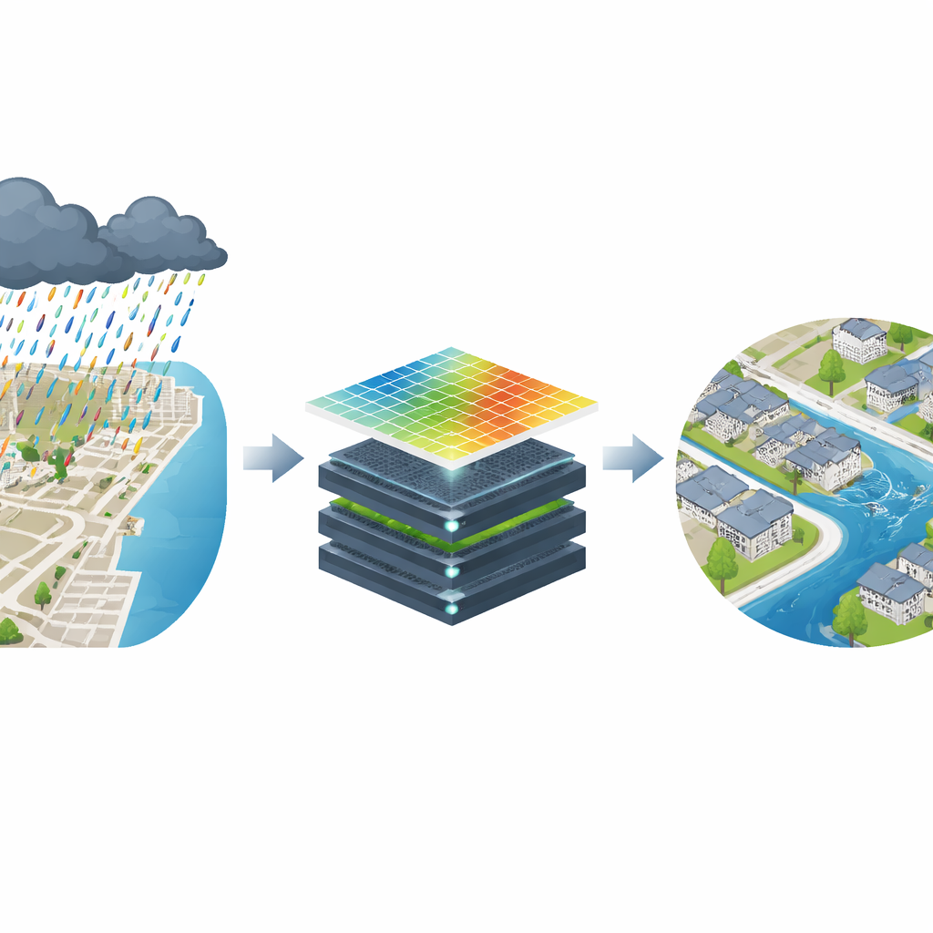
Bringing graphics‑card power to flood maps
The study tests a different approach: a high‑resolution flood model called SynxFlow that runs on graphics processing units (GPUs)—the same kind of hardware that powers video games and modern artificial intelligence. SynxFlow solves the physics of shallow water flow on a fine grid of 10‑meter cells covering millions of points across Cook County. By spreading the calculations across four powerful GPUs, the team simulated the July 2023 storm in about three hours, compared with roughly 18 hours for a widely used, CPU‑based modeling chain and static methods. That speed is crucial, because flash‑flood waves can sweep through neighborhoods in the same amount of time it takes to run a slow model.
Checking the model against real floods
To see whether this extra speed and detail actually pays off, the authors compared SynxFlow’s flood maps with satellite‑based observations from the Sentinel‑1 mission. These radar images, processed with a machine‑learning method called CNN‑SAR, can pick out water on the ground even through clouds and at night. Across Chicago’s census tracts, SynxFlow matched the satellite‑mapped flooded areas more closely than both the traditional coupled model and a terrain‑only method. It was especially accurate in complicated urban settings like Cicero, Berwyn, Englewood, and Calumet Heights, where small changes in elevation and clogged drainage create scattered pools rather than a single broad sheet of water.
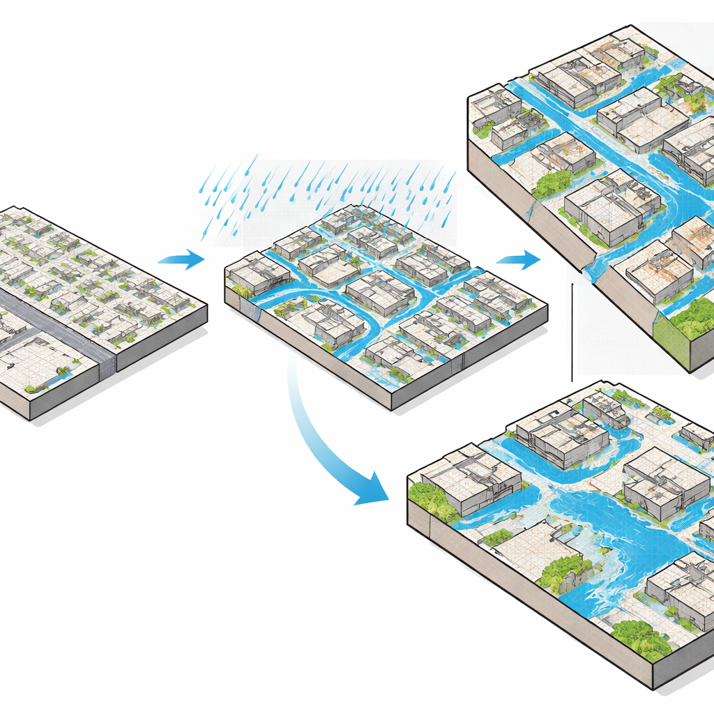
Street‑level insight for real decisions
In many neighborhoods, the GPU‑based model reproduced fine‑scale patterns seen from space: water collecting behind rail embankments, filling underpasses, and hugging curbs along busy roads. It also preserved how water flowed across city and suburb boundaries, instead of stopping at artificial lines in the model. Overall, SynxFlow outperformed rival approaches in around three‑quarters of the census tracts examined, capturing both how often places flooded and how patchy those floods were. This level of detail can help agencies decide which roads to close, where to send pump trucks, and which communities are likely to be hardest hit.
From research tool to everyday shield
The authors conclude that GPU‑accelerated models like SynxFlow can turn flood forecasting from a slow, retrospective analysis into a live decision aid. When paired with real‑time radar rainfall, satellite snapshots, and even crowdsourced reports from residents, such models could form the backbone of platforms like the AerisIQ flood forecaster now being built for Illinois. While challenges remain—notably gaps in underground pipe data and limited satellite coverage—the approach offers a path for cities worldwide to gain faster, more accurate street‑level flood warnings, helping protect people, transit, and homes as storms grow stronger.
Citation: Wadhwa, A., Sharma, A., Xia, X. et al. GPU-accelerated city-scale urban flood forecasting for real-time decision-making. npj Nat. Hazards 3, 31 (2026). https://doi.org/10.1038/s44304-026-00190-y
Keywords: urban flooding, real-time forecasting, GPU modeling, Chicago rainfall, flood resilience