Clear Sky Science · en
Unraveling scale-dependent flood responses to changing climate extremes over the Tibetan Plateau
Why mountain floods matter to millions
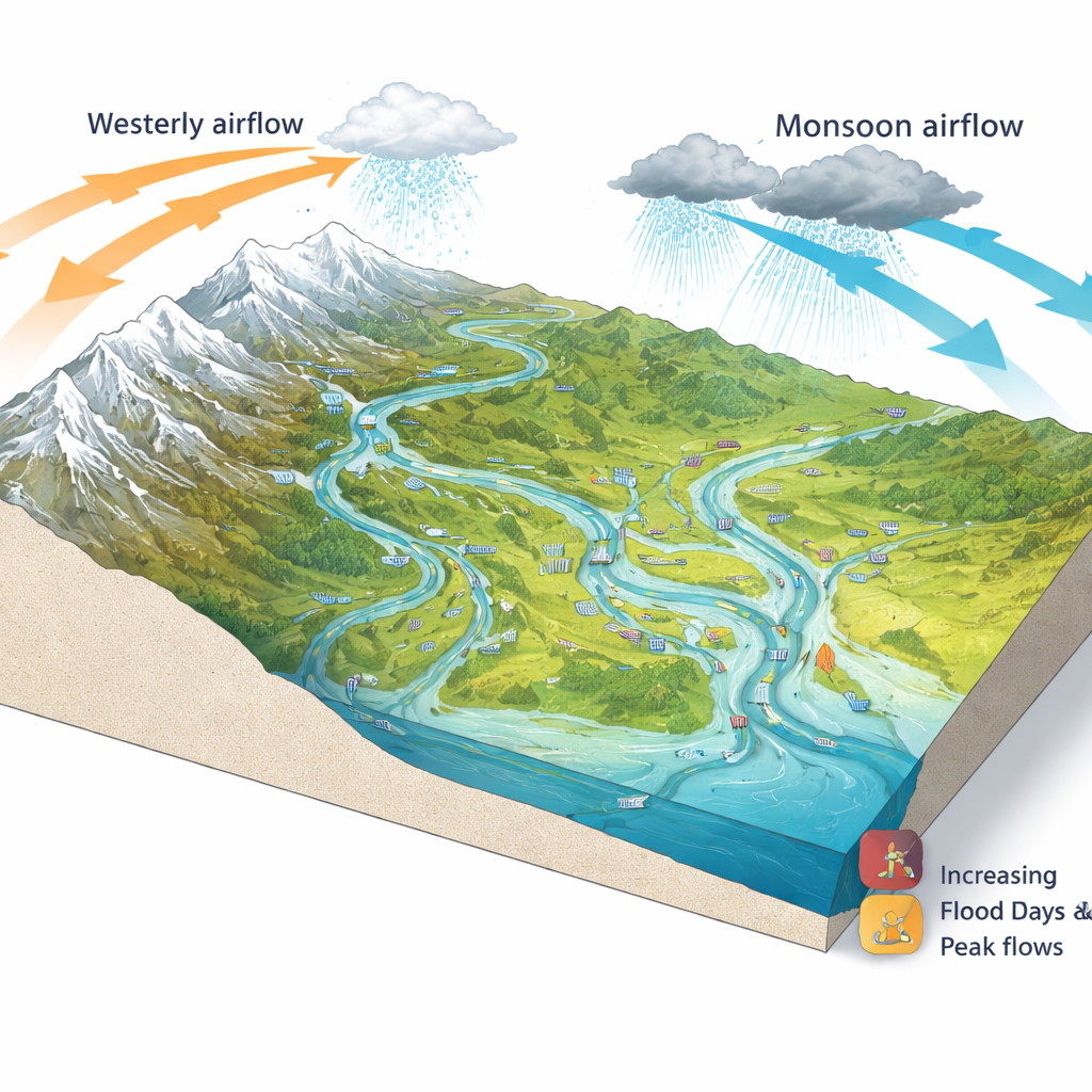
The Tibetan Plateau is often called Asia’s “water tower” because it feeds many of the continent’s great rivers, from the Yangtze to the Mekong. Changes in how often and how strongly these rivers flood can ripple far beyond remote valleys, affecting water security, hydropower, farming and disaster risk for hundreds of millions of people downstream. This study asks a deceptively simple question with big consequences: as the climate becomes warmer and more extreme, how are floods on the Tibetan Plateau changing, and why do the answers depend so strongly on where and at what scale you look?
Rising flood activity across the roof of the world
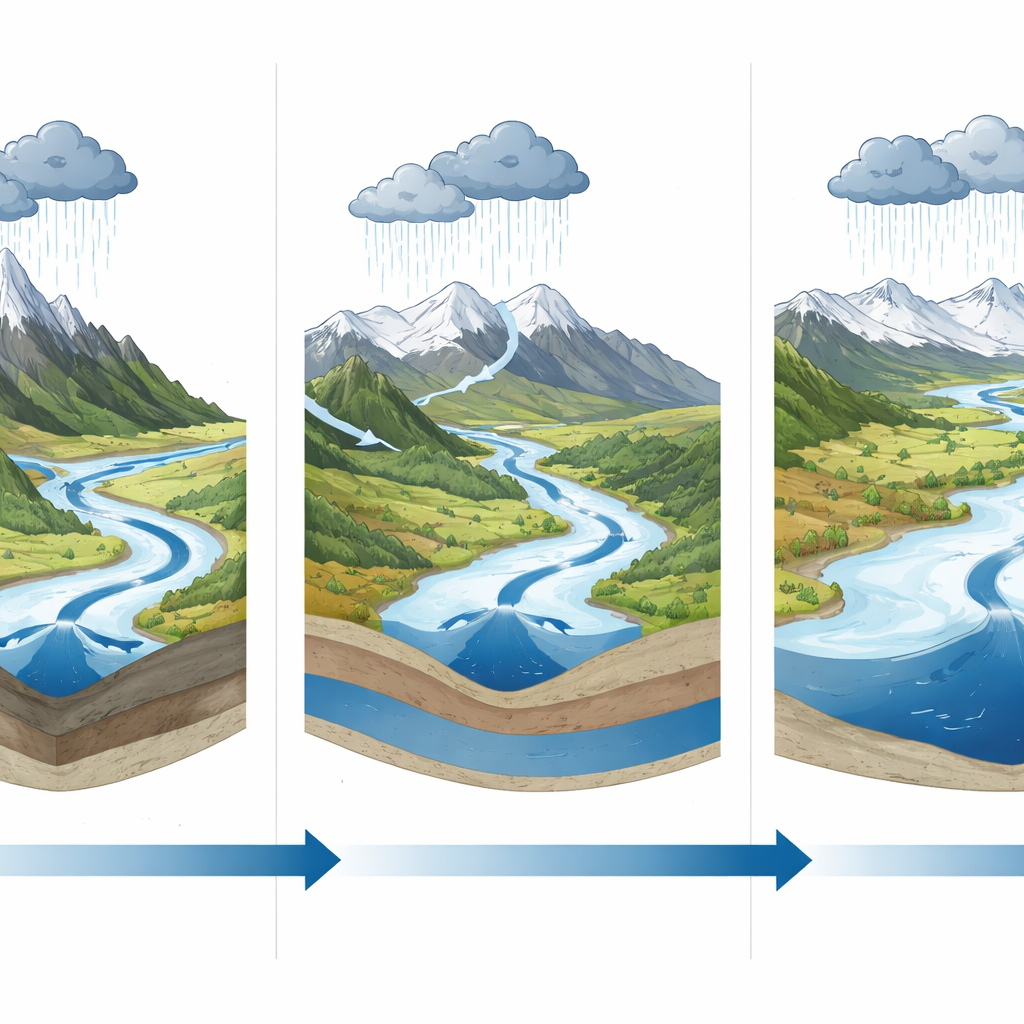
Using four decades of high‑resolution climate and river‑flow data, the researchers found that days with floods on the Plateau have increased markedly since 1980, with a sharp jump after 2016. Peak annual flows, which represent the strongest flood in each river every year, also surged in recent years, especially in northern and inner parts of the Plateau. Yet this trend is far from uniform. Some regions near the Himalayas and Pamir show fewer or weaker floods, reflecting declines in snow and shifting meltwater timing. Overall, the picture is one of growing flood risk but with strong geographic contrasts tied to local climate and ice‑snow conditions.
Two main pathways from weather to flood
To untangle what drives these changes, the team examined dozens of indices that describe extremes in rain, temperature, drought and snowmelt. They found that floods respond through two complementary pathways. The first is the “atmospheric source”: bursts of heavy rain or intense snowmelt that pour water into the landscape. The second is the “catchment modulator”: how wet the soils and river valleys already are, which determines how much of that water runs off versus soaking in. Plateau‑wide, extreme rain events emerged as the main trigger for both more frequent floods and higher peaks, while prolonged warmth and snowmelt added a substantial boost. Drought indicators, which capture long‑term dryness or wetness of the ground, proved especially important for explaining how high flood peaks can rise once storms hit.
East–west contrasts and a hidden scale effect
The study shows that the Plateau is split into three broad flood “worlds.” In the wetter eastern region, ruled by the Asian monsoon, floods are driven mainly by intense rain falling on steep slopes and already moist soils. In the cold, arid west, where glaciers and snowpacks dominate water supply, extreme temperatures and snow and ice melt take center stage, with drought shaping how much of that melt reaches rivers. A central transition zone mixes both influences, often producing compound events where warm conditions and heavy rain coincide. At the same time, the dominant controls shift with river size. Small, steep headwater streams respond almost instantly to cloudbursts, while large trunk rivers integrate meltwater from far‑flung glaciers and depend strongly on how saturated their vast catchments are.
How upstream changes echo downstream
By treating each watershed as part of a connected network and applying advanced machine‑learning methods, the authors quantified how climate extremes in one area affect floods elsewhere. They found that conditions upstream—especially warmer spells that enhance snow and glacier melt—measurably raise both the number of flood days and the variability of peak flows downstream, even when local weather is held constant. This “hydrological connectivity” means that what happens on high, sparsely populated ridges can precondition flood hazards hundreds of kilometers away, challenging local planners who might otherwise focus only on nearby rainfall.
What this means for future risk
Taken together, the results reveal that there is no single story of flood change on the Tibetan Plateau. Instead, flood behavior depends on the interplay of extreme rain, heat, snow and ice, basin wetness, and river size, all of which are changing under global warming. The pronounced jump in heavy rain and floods after 2016 suggests the region may have entered a new, wetter and more volatile state. For communities and policymakers, the message is clear: flood forecasts, early‑warning systems and adaptation plans must be tailored to local conditions and to the scale of the rivers involved, rather than relying on one‑size‑fits‑all assumptions drawn from global averages.
Citation: Li, X., Cui, P., Shen, P. et al. Unraveling scale-dependent flood responses to changing climate extremes over the Tibetan Plateau. Commun Earth Environ 7, 252 (2026). https://doi.org/10.1038/s43247-026-03413-2
Keywords: Tibetan Plateau floods, climate extremes, monsoon and snowmelt, river basin scale, hydrological connectivity