Clear Sky Science · en
Bipartite rupture in the 2025 Dingri earthquake indicates normal conjugate faulting during orogenic collapse
Why this distant earthquake matters
The 2025 Dingri earthquake struck a remote part of southern Tibet, yet it offers a rare window into how the highest plateau on Earth is slowly pulling apart even as continents continue to collide. By combining satellite radar measurements with computer models of how faults break, the authors show that this magnitude 7 event did not rupture a single clean break in the crust. Instead, it involved a pair of steeply inclined faults that slipped in opposite directions, helping the over-thickened Tibetan crust collapse under its own weight. Understanding this complex behavior matters because it reshapes how we think about earthquake hazards in mountain belts worldwide.
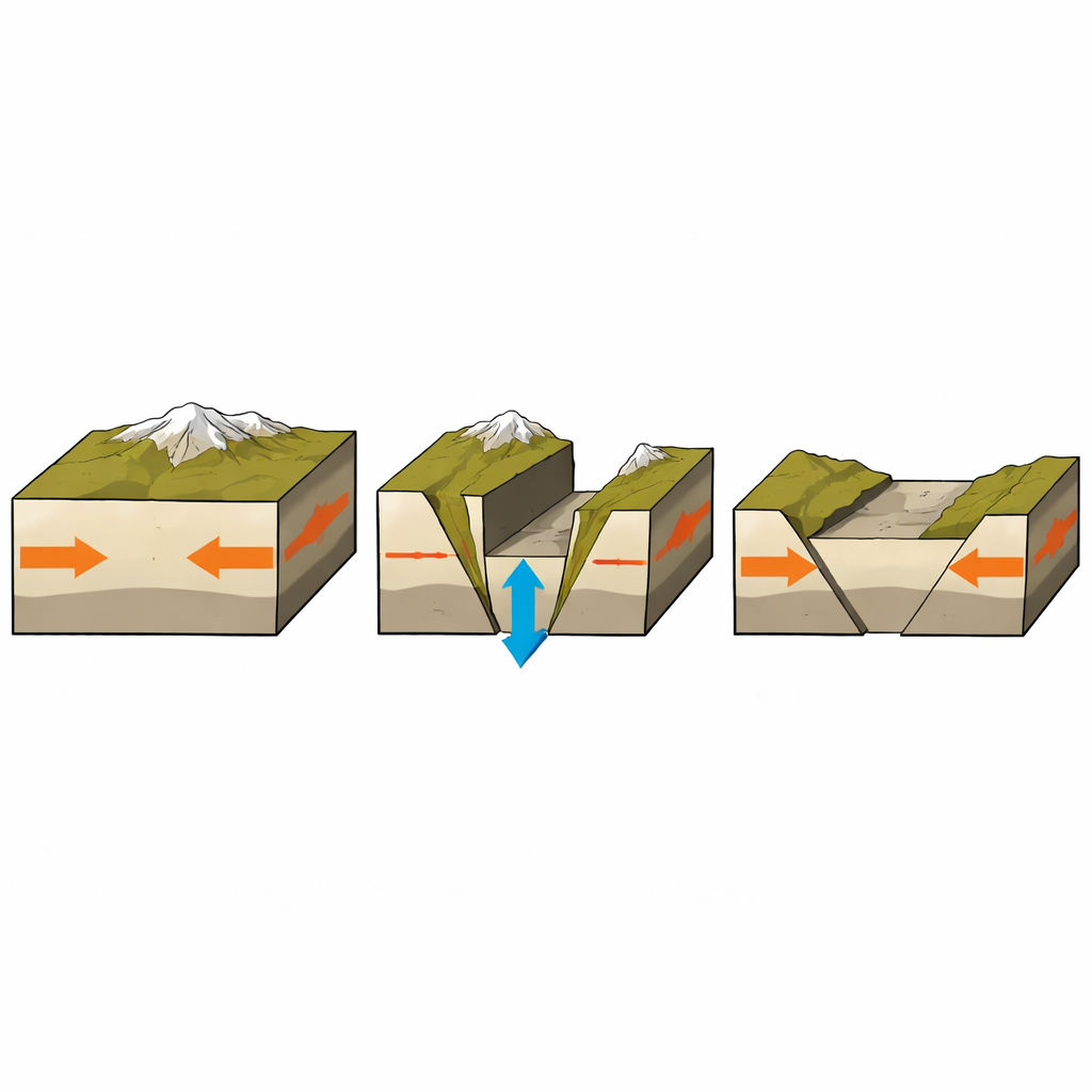
A mountain range caught between push and pull
The Tibetan Plateau was built as India plowed into Eurasia over tens of millions of years, crumpling and thickening the crust. That ongoing collision still drives major thrust faults along the Himalayan front. Paradoxically, however, the interior of the plateau is laced with north–south rift valleys where the crust is stretching sideways and dropping down, much like in classic regions of extension. Southern Tibet is one such zone, where several long rifts accommodate east–west stretching. The 2025 Dingri earthquake, the largest recorded in this rift system, produced more than 30 kilometers of surface rupture and over one hundred deaths, exposing how hazardous these "extensional" structures can be even within an overall compressive setting.
Reading the ground’s motion from space
To map how the ground shifted, the team turned to Interferometric Synthetic Aperture Radar, or InSAR, using data from three satellite missions. By comparing radar images taken before and after the quake, they reconstructed how the surface moved along the satellites’ line of sight, with displacements reaching two to three meters near the main break. These patterns revealed that the eastern side of the main fault moved upward while the western side sagged away from the satellite, signaling motion on a steep west-dipping normal fault. About 20 kilometers farther west, however, they detected a separate, more modest patch of deformation—roughly 30 centimeters—hinting at an additional fault movement that never broke the surface and would have been easy to miss without radar.
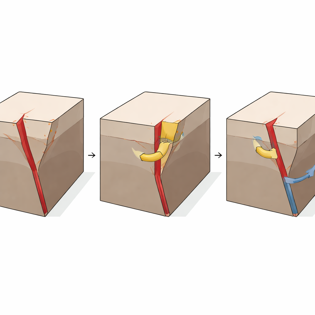
Two facing faults sharing the load
Using a Bayesian inversion approach, the authors translated the observed surface deformation into a three-dimensional model of the underlying faults and how much they slipped. For the main event, most slip occurred above 10 kilometers depth, with two distinct zones reaching up to about five meters on a fault dipping at roughly 55 degrees. When they modeled the smaller western deformation, they found it could not be explained by a single fault plane. Instead, a better fit emerged when slip was allowed on two structures: a previously unrecognized conjugate fault dipping eastward, and deeper sections of the fault that had already produced a magnitude 5.6 earthquake in 2020. Together, this west-side episode was equivalent to about a magnitude 6 event, forming a mirror-image partner to the main Dingri fault and revealing a true "bipartite" rupture system.
How the rupture ran and why it stopped
To test whether their kinematic model was physically plausible, the researchers ran dynamic rupture simulations that mimic how an earthquake starts and propagates along a fault. They found that the rupture nucleated in the south where the fault needed to be relatively weak to keep breaking, then accelerated northward into a region with higher stored stress, releasing most of its energy in about 20 seconds. The models suggest a strong contrast in frictional properties along the fault: the northern segment had to be stronger beforehand to accumulate enough strain for large slip, while the southern part behaved as a low-strength zone that can host smaller events. When they added the conjugate west-side fault into the simulations, the stress changes from the mainshock—both static and transient—were not, by themselves, enough to generate a full magnitude 6 rupture unless that fault was already extremely close to failure or temporarily weakened, perhaps by pressurized fluids.
What this means for mountain hazards
Pulling together fault geometry, aftershock patterns, and regional topography, the study paints a picture of a gravity-influenced system where the volume of crust bounded by steep normal faults helps control how big an earthquake can grow. Large, relatively simple fault-bounded blocks, like the central Dingri segment, can store more elastic and gravitational energy and thus host large events, while zones with many branching faults and lower relief tend to release strain through smaller, more frequent quakes. The Dingri sequence shows how multiple faults can interact, with deeper, conjugate, and previously ruptured segments sharing slip in ways that standard hazard models often neglect. For non-specialists, the key message is that even within a colliding mountain belt, parts of the crust can be poised to fail in extension, and their hidden, interconnected faults may combine to produce damaging earthquakes that challenge simple one-fault scenarios.
Citation: He, K., Cai, J., Wen, Y. et al. Bipartite rupture in the 2025 Dingri earthquake indicates normal conjugate faulting during orogenic collapse. Commun Earth Environ 7, 229 (2026). https://doi.org/10.1038/s43247-026-03267-8
Keywords: Tibetan Plateau earthquakes, normal faulting, InSAR deformation, conjugate faults, seismic hazard