Clear Sky Science · en
AI-enhanced urban forecasting: ConvLSTM networks for multi-scenario land cover prediction in metropolitan regions
Cities Under Pressure
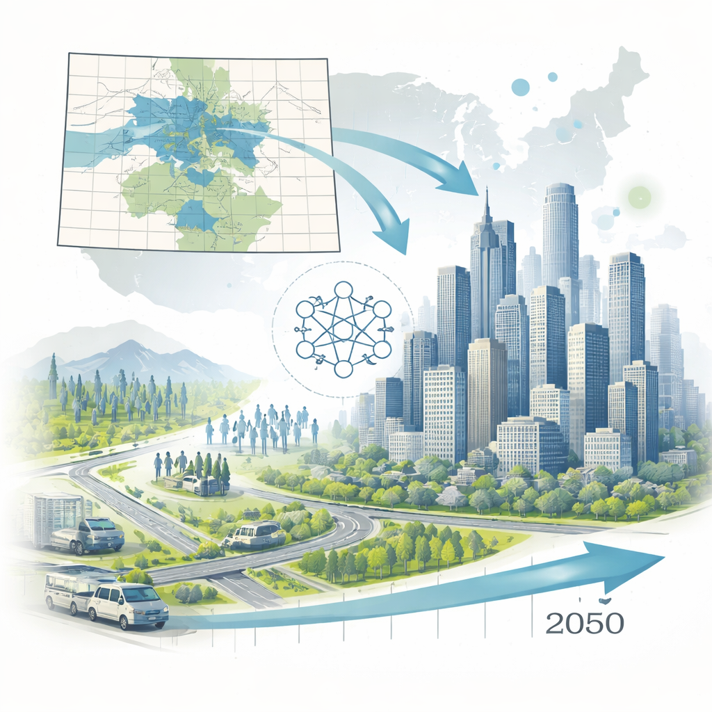
Across the world, fast-growing cities are struggling to decide where new homes, roads, and transit lines should go without paving over the very nature that keeps them livable. This paper shows how a new kind of artificial intelligence can help communities look decades ahead, testing different futures for growth, traffic, and conservation before a single shovel hits the ground. Focusing on Colorado’s major metro regions, the authors demonstrate how AI can turn nearly 40 years of satellite images into practical maps that guide smarter, greener city building.
Teaching a Computer to Watch a City Grow
Most urban forecasting tools work like board games: each square on a map follows simple rules based only on its current state and its immediate neighbors. These Cellular Automata models are fast and useful when there are only a few snapshots of the past to learn from. But they struggle when long histories are available and planners care about 20- to 30-year futures, not just the next few years. In this study, the authors instead use a deep learning model called a ConvLSTM, which is designed to recognize both where things are and how they change over time. Feeding it 39 consecutive years of detailed land cover data for Colorado’s metropolitan planning areas, they train the system to see long-term patterns in how suburbs expand, downtowns intensify, and natural areas shrink.
Exploring Different Futures, Not Just One
Rather than asking the AI to predict a single destiny for Colorado’s cities, the researchers pair it with five storylines borrowed from the Colorado Water Plan. These scenarios range from business-as-usual growth to a weak economy, and from cooperative compact cities to high-speed expansion with few rules. For each storyline, simple statistical models translate expected population into the total amount of land each type of urban development would likely occupy. The ConvLSTM then supplies the "where" by ranking every pixel according to how likely it is to develop, based on four decades of observed behavior. A separate allocation step blends these two pieces: it chooses the top-ranked locations until the land demand for each development type is met.
Putting Guardrails Around Growth
Crucially, the system does not treat the landscape as a blank slate. Before final maps are drawn, the model’s raw probabilities are quietly adjusted to reflect human priorities. Legally protected lands, critical wildlife habitats, and wetlands are given almost no chance to urbanize, while areas near bus and rail stations get a boost to favor transit-oriented neighborhoods. Because these adjustments are baked into the probabilities rather than slapped on afterward, the AI naturally avoids off-limits places without creating awkward holes in the pattern. This design lets planners test the impact of conservation rules and transit investments while keeping people, not algorithms, in charge of the values that matter.

Seeing the Long View More Clearly
One of the most surprising findings is what the authors call the "Temporal Depth Paradox": the model actually becomes more accurate as it looks farther into the future. When they compared predictions against real-world changes, short one-year forecasts performed poorly, but 20-year forecasts did much better, especially at the expanding edges of cities. In simple terms, the AI seems better at recognizing slow, persistent trends than day-to-day noise. It reliably captures greenfield growth on the fringes, while dense urban cores remain harder to predict because redevelopment there is driven by many small, local decisions. This makes the tool especially valuable for long-range planning, where the broad direction of growth matters more than the exact lot that changes first.
What Smarter Forecasts Mean for Everyday Life
By running the scenarios, the study shows how today’s choices ripple through urban form, infrastructure costs, and nature decades from now. A compact, regulation-heavy "Adaptive Innovation" future, for example, concentrates growth into fewer, denser patches, improving road efficiency by about 20.5 percent and preserving roughly 1,000 more hectares of natural land by 2050 than loosely regulated sprawl. In practical terms, that means fewer miles of pipes and pavement per person, lower maintenance bills for taxpayers, and more nearby parks and habitats. The work illustrates how AI, when tightly coupled with public goals and clear rules, can act as a powerful planning ally—helping communities compare trade-offs, protect valued landscapes, and build cities that are both more efficient and more humane.
Citation: Mahmoud, M.F., Arabi, M. AI-enhanced urban forecasting: ConvLSTM networks for multi-scenario land cover prediction in metropolitan regions. npj Urban Sustain 6, 31 (2026). https://doi.org/10.1038/s42949-026-00338-9
Keywords: urban growth prediction, artificial intelligence planning, sustainable cities, land use change, scenario modeling