Clear Sky Science · en
Linking urban growth and surface temperature change in capital and secondary cities of Southeast Asia
Why hotter cities matter for everyday life
Across Southeast Asia, many people are feeling that their cities are getting hotter, especially during heatwaves. This study looks at a simple but urgent question: as cities grow and spread outward, how much hotter do their surfaces become, and why? By comparing fast-growing capital cities like Bangkok or Jakarta with smaller but booming "secondary" cities, the authors explore how new buildings, shrinking green spaces, and local wealth combine to shape the heat we feel on the ground. Their findings help explain where heat risks are rising fastest and how city planners might keep future growth from making lives unbearable.
Taking the city’s temperature from space
To track how heat and land use changed over time, the researchers used satellites rather than weather stations, which are often sparse and unevenly distributed. They examined 16 urban areas in eight Southeast Asian countries, always focusing on the fringes: the zone where the built-up city meets fields, forests, or wetlands. For the years 2000 and 2020, they measured three things for every square kilometer: the share of built-up surfaces (roads, buildings, and other hard materials), the amount of vegetation, and the land surface temperature, which reflects how hot the ground itself gets under the sun. By comparing capital cities with secondary cities and linking these measurements to local population and economic data, they built a regional picture of how urban growth and heat are intertwined.
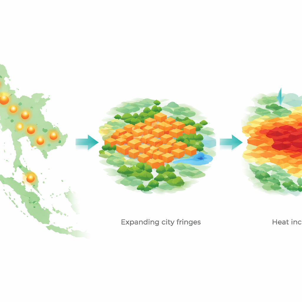
Spreading cities, rising heat
Over just two decades, the urban fringes around these cities changed dramatically. On average, the share of built-up land in these areas grew by nearly 12 percentage points, while surface temperatures rose by about 1.4 °C. Capital cities remained hotter overall: their fringe areas were about 1.7 °C warmer than those of secondary cities in both 2000 and 2020, and city centers were hotter than their outskirts. Yet the most worrying trend was that temperatures increased more strongly at the edges than in the cores, especially in secondary cities, where fringe temperatures climbed by about 0.35 °C more than in the cores. At the same time, many secondary cities lost more vegetation in their fringes, suggesting that sprawling development is eating into natural cooling buffers faster there than in capital regions.
When growth, greenery, and wealth pull in different directions
The study shows that simply adding more buildings does not always translate directly into the biggest temperature jumps. In most cities, more built-up area goes hand-in-hand with higher surface temperatures, and less vegetation usually means more heat. But there are striking exceptions: some urban areas in the Philippines and Cambodia saw very large temperature increases even though their built-up share changed only slightly. In others, wealthy and densely populated zones managed to keep temperatures relatively lower than expected. By examining links with economic output and population, the authors found that stronger economies often coincide with more intense development but can also support cooling investments such as parks, tree planting, better building design, and thoughtful street layouts that let breezes flow.
Guiding better choices for growing cities
These patterns have clear implications for planning. In places where built-up land expanded rapidly, like the Malaysian city of Johor Bahru, the authors suggest tighter control of outward spread and better protection of remaining natural land, including coastal wetlands and mangroves that offer strong cooling benefits. For cities with sharp temperature increases but only modest building growth, such as Manila, Cebu, and Yangon, local activities and energy use likely play a large role, pointing to the need for cleaner industries, efficient transport, and coordinated land use across city regions. Overall, the study argues that secondary cities, which often have fewer resources, should not simply copy the growth paths of megacities but instead prioritize green corridors, water features, and careful limits on expansion.
What this means for city dwellers
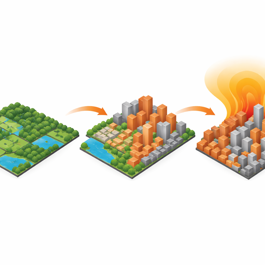
In plain terms, the research confirms that how and where cities grow matters as much as how fast they grow. Surfaces covered by concrete and asphalt heat up more and cool down more slowly, while trees, parks, and water bodies offer natural relief. Across Southeast Asia, both capital and secondary cities are getting hotter, but the fastest changes are happening at the expanding edges, where new neighborhoods often lack shade and green space. By highlighting which types of cities and areas are most at risk, this study offers a roadmap for making future growth more livable: protect and expand greenery, plan compact but breezy neighborhoods, and invest in heat-aware design so that urban development does not come at the cost of human comfort and safety.
Citation: Xu, R., Kamarajugedda, S.A., Lafortezza, R. et al. Linking urban growth and surface temperature change in capital and secondary cities of Southeast Asia. npj Urban Sustain 6, 41 (2026). https://doi.org/10.1038/s42949-026-00336-x
Keywords: urban heat island, Southeast Asia cities, land surface temperature, urbanization and climate, urban green space