Clear Sky Science · en
Spatial patterns of Asian summer monsoon precipitation in the Chinese monsoon region since the LGM
Why ancient rains matter today
Billions of people in China depend on the summer monsoon to water crops, refill rivers, and sustain cities. Yet this lifeline does not fall evenly: some regions endure floods while others suffer droughts, sometimes at the same time. Because weather records span only a few decades, scientists turn to natural archives—such as cave formations—to uncover how monsoon rains shifted over tens of thousands of years. This study uses stalagmites from caves in northern China to reconstruct where and when the summer rains were strongest since the last ice age, offering clues to how future climate change could rearrange water across the country. 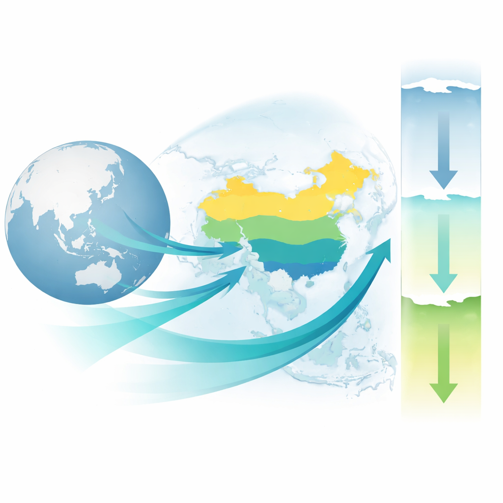
Reading the rain in stone
Inside Dongshiya and Laomu caves on the margin of the Chinese Loess Plateau, water dripping from cave ceilings slowly built stalagmites, layer by layer. Each layer locks in tiny chemical fingerprints of the water that formed it, which in turn reflects the air, clouds, and soil above the cave. By precisely dating these layers using uranium–thorium techniques, the researchers built a continuous timeline covering the past 25,500 years. They then measured different signals in the calcite: one set linked to the overall strength and reach of the Asian summer monsoon, and another set tied more directly to how wet or dry the local landscape was. 
Tracing the big monsoon engine
One key signal tracks a heavy form of oxygen that varies with how moisture moves from ocean to land. Across China, this fingerprint tends to reflect how far north the summer monsoon’s rain belt can push: when circulation is strong and moist air penetrates deep into the continent, the stalagmites show one pattern; when the monsoon weakens and retreats southward, they show another. In the new records, these swings match well-known global climate episodes, such as the abrupt cold spells of the last deglaciation and a notable dry spell about 4,200 years ago. This agreement shows that the cave archives are faithfully recording large-scale shifts in the monsoon system driven by changes in sunlight, polar ice, and distant oceans.
Mapping north–central–south rain bands
By comparing their cave data with many other lake, peat, and cave records across China, the authors reconstructed how rainfall patterns varied from north to south. During the dramatic climate swings that ended the last ice age, they found a “sandwich-like” pattern: the northern and southern parts of the Chinese monsoon region tended to get dry at the same time the central belt became unusually wet, and vice versa. Later, during the Holocene—the relatively warm period of the last 11,700 years—the pattern often flipped to a simpler two-part structure: northern and southern China peaked in rainfall at different times. The north reached its wettest conditions mainly in the middle Holocene, while the south was wetter earlier on. This means the places receiving the most rain did not always coincide with the times when the monsoon circulation itself was strongest.
Oceans, jet streams, and shifting storm tracks
The study also probes why these patterns emerge. The authors point to a complex tug-of-war between tropical and polar influences. Changes in the El Niño–Southern Oscillation in the Pacific can shift a key high-pressure system, nudging the main summer rain belt north or south and concentrating storms over either the central or northern parts of China. At the same time, the westerly winds that sweep around the globe can slide north or south along the edge of the Tibetan Plateau, locking the main rain band over the central region or allowing it to advance farther inland. These shifting airflows help explain both the sandwich-like three-band pattern during the last deglaciation and the contrasting north–south behavior during the mid-Holocene.
Lessons for a warming future
For non-specialists, the headline message is that the Chinese monsoon has never been uniform in space or time. Even under broadly stronger or weaker monsoon conditions, rainfall can redistribute between northern, central, and southern regions depending on how distant oceans and high-altitude winds interact. By filling in a long-missing record from northern China and tying it to many other archives, this work shows that future changes in global circulation may reorganize who gets too much water and who gets too little, even without a simple increase or decrease in total monsoon strength.
Citation: Li, M., Jia, W., Yang, Y. et al. Spatial patterns of Asian summer monsoon precipitation in the Chinese monsoon region since the LGM. npj Clim Atmos Sci 9, 67 (2026). https://doi.org/10.1038/s41612-026-01345-4
Keywords: Asian summer monsoon, Chinese rainfall history, stalagmite climate records, El Niño and rainfall, Holocene hydroclimate