Clear Sky Science · en
Emerging near-surface extratropical circulation changes due to climate change: a weather typing based global analysis
Why shifting winds matter to everyday life
Most of us experience climate change through heatwaves, storms, droughts, and unusual seasons, not through a slow rise in global temperature numbers. This study asks a down-to-earth question: as the planet warms, are the familiar large-scale weather patterns that steer our day-to-day weather—such as storm tracks, blocking highs, and stagnant air masses—already changing, and how will they evolve over this century? By tracking how near-surface circulation patterns respond to global warming in many climate models, the authors show where and when these shifts are likely to become unmistakable, with important implications for rainfall, heat extremes, air quality, and regional climate risks.

Sorting the weather into recognizable patterns
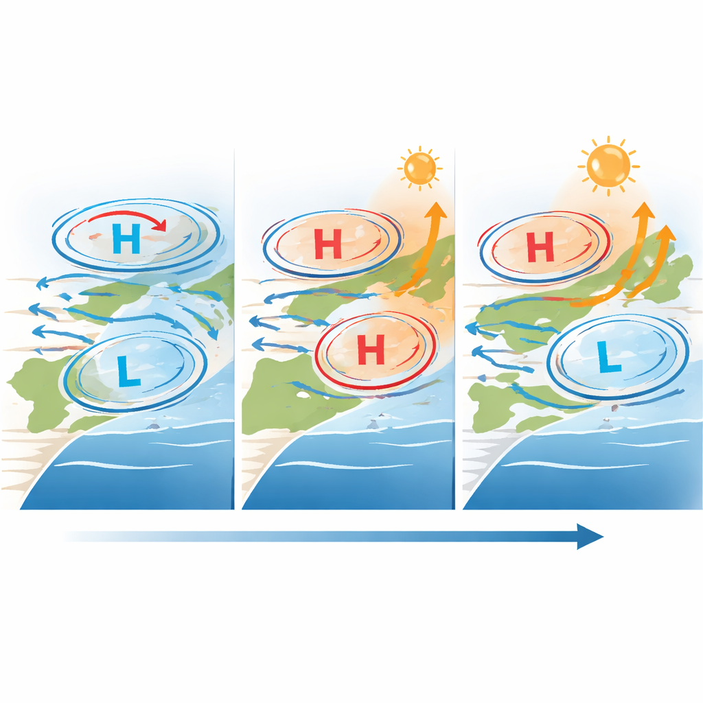
Instead of looking only at broad averages like "mean wind" or "storminess," the researchers sort the atmosphere into recurring weather patterns, or "weather types." These types are defined from maps of sea-level pressure, which describe the highs and lows that guide winds near the surface. Using an established classification known as the Jenkinson–Collison method, they assign every six hours of model output to one of several categories: for example, anticyclonic (dominated by high pressure and sinking air), cyclonic (low pressure and rising air), westerly (strong west-to-east flow), or unclassified (weak pressure gradients and stagnant conditions). Because these patterns correspond closely to familiar weather—calm hot spells, passing storms, or steady westerly winds—they provide an intuitive bridge between global climate change and local weather experiences.
Forty-one climate models, one common warming yardstick
The team applies this weather-type framework to simulations from 41 state-of-the-art global climate models, drawn from the CMIP5 and CMIP6 projects and run under high-emissions scenarios. To compare models fairly, they use a global-warming-level approach: instead of tying changes to specific calendar years or scenarios, they relate shifts in weather-type frequency to how many degrees the planet has warmed relative to pre-industrial times. For each grid cell between 30° and 70° latitude in both hemispheres, they calculate how often each weather type occurs in each season and how that frequency changes per degree of global warming. They then apply strict statistical tests, similar to those used by the IPCC, to decide where the models agree strongly enough that a signal is unlikely to be just natural variability.
Emerging shifts in key regions and seasons
The results reveal robust and geographically structured trends. In the Southern Hemisphere, summer and winter both show a poleward shift and strengthening of westerly flows in the Subantarctic belt, accompanied by changes in cyclonic patterns, consistent with a more positive Southern Annular Mode. Subtropical high-pressure zones gain more anticyclonic days in some seasons and latitudes while losing them in others, indicating that the belt of highs is redistributing and edging toward the poles. In the North Atlantic–European sector, anticyclonic patterns become more common over the Azores–Iceland region in summer, pointing to more frequent positive phases of the summer North Atlantic Oscillation, which are linked to drier conditions in parts of Europe. At the same time, the Mediterranean stands out: summers there see fewer traditional high-pressure types but more stagnant, weak-gradient situations, while winters show stronger anticyclonic behavior, connecting to known projections of reduced rainfall and a relatively cooler sea compared to surrounding land.
When climate signals rise above the noise
Natural ups and downs in atmospheric circulation are large, especially outside the tropics, so the authors also ask: when do forced changes in weather-type frequency become clearly distinguishable from historical variability? Using a "time of emergence" analysis, they identify the first decade in which most models show a shift that exceeds their typical year-to-year swings. In many regions, especially for westerly and cyclonic types in the Southern Hemisphere summer, the signal emerges mainly late in the 21st century. But some areas show earlier change. The Mediterranean is a hotspot: both anticyclonic and stagnant types there cross the emergence threshold as early as the current and next few decades. Similar early signals appear along the Pacific coast of North America and parts of Central Asia, underscoring that circulation-driven climate risks will not wait until the far future.
What this means for future weather and planning
In plain terms, the study concludes that global warming will not simply make existing weather patterns a bit warmer; it is reshaping the large-scale near-surface circulation that underpins regional climates. High-pressure systems, storm tracks, and stagnant air masses are projected to shift in position, strength, and seasonal timing, particularly in mid-latitude belts and around the Southern Ocean and Mediterranean. These changes will influence where and when heatwaves, heavy rain, drought, and poor air quality occur, and in some regions they are already becoming detectable. By providing a global, publicly available catalogue of future weather types, the work offers a practical toolkit for impact researchers, forecasters, and planners who need to link abstract temperature targets to the concrete patterns of weather that societies will actually face.
Citation: Fernández-Granja, J.A., Bedia, J., Casanueva, A. et al. Emerging near-surface extratropical circulation changes due to climate change: a weather typing based global analysis. npj Clim Atmos Sci 9, 73 (2026). https://doi.org/10.1038/s41612-026-01344-5
Keywords: atmospheric circulation, weather patterns, mid-latitudes, climate change, storm tracks