Clear Sky Science · en
The relationship between the origin of tropical cyclones and their maximum attained intensity
Why Storm Origins Matter for Coastal Communities
People living along the coasts of East and Southeast Asia are no strangers to the power of tropical cyclones—called typhoons in this part of the world. These storms can bring torrential rain, destructive winds, and flooding that affect millions. This study asks a deceptively simple question with big implications: does where and how a storm is born help determine how strong it will eventually become? By tracking thousands of systems over four decades in the western North Pacific, the authors uncover a hidden pattern in the atmosphere that seems to favor the birth of especially intense typhoons.
A Hidden Wave Roadway in the Tropics
Over warm tropical oceans, the air does not simply flow smoothly from place to place. It pulses and ripples in large, slowly moving waves that circle the globe. One particular kind of wave, known to scientists as a mixed Rossby–gravity wave, travels westward along the equator and can act like a moving cradle for storm “seeds.” Within these wave packets, small swirls of air and clusters of thunderstorms can tighten and organize into the spinning systems that, if conditions stay favorable, grow into full-blown tropical cyclones. The study shows that nearly one in three storms in the western North Pacific between 1981 and 2020 started life inside such a wave environment.
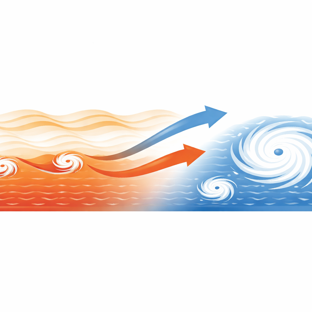
Different Birthplaces, Different Storm Fates
Not all cyclone seeds share the same surroundings. The researchers compared storms that formed within these equatorial waves to those that did not. They found that wave-born storms tend to start farther to the southeast and nearer the equator, then track northwestward across long stretches of warm ocean before peaking in strength. In contrast, storms with other origins often form farther north or in semi-enclosed seas, giving them less time over the warm, open Pacific. This longer ocean journey, guided by a steering pattern in the larger-scale winds, gives the wave-born storms more opportunity to draw heat and moisture from the sea and to organize their internal structure.
The Making of a Super Typhoon
The internal structure of the storms tells an even sharper story. Systems nurtured inside the equatorial waves quickly develop stronger low-level spin and more organized, deep thunderstorms wrapped around their centers. When they reach their lifetime peak, these storms show more robust circular wind patterns and stronger central convection than their counterparts. On average, wave-born cyclones reach about 9 percent higher peak winds than other storms, and they are much more likely to become full typhoons or even super typhoons. The study also finds that these storms intensify faster—gaining strength more quickly as they move—especially while they remain embedded within the wave packet.
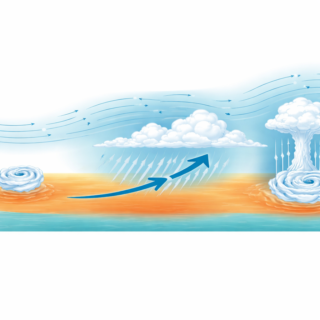
A Supportive Atmospheric Environment
Why does this particular wave environment matter so much? By carefully filtering satellite and reanalysis data, the authors show that the wave “pouch” around a developing disturbance tends to line up many favorable factors at once. Sea surface temperatures are higher, the middle layers of the atmosphere are moister, the difference in wind speed between upper and lower levels is smaller, and there is stronger outflow aloft and inflow near the surface. Together, these ingredients reduce the disruptive effects of wind shear and turbocharge the storm’s heat engine. Importantly, about four in five wave-born storms stay coupled to their parent wave all the way to their maximum intensity, and the longer this coupling lasts, the stronger the final storm tends to be.
Rising Role of Wave-Born Storms in a Warming World
Across the 40-year record, the overall number of tropical cyclones in the western North Pacific has declined, but the fraction that can be traced back to equatorial wave origins has increased. At the same time, the peak intensities of these wave-born storms show an upward trend, even after years with strong El Niño or La Niña events are set aside. For a layperson, the takeaway is clear: a particular class of large-scale atmospheric waves is increasingly linked to the strongest typhoons affecting Asia. Recognizing and monitoring these wave environments could improve forecasts of which early disturbances are most likely to grow into the next major storm, offering precious lead time for preparation in a climate where extreme cyclones are expected to play an ever larger role.
Citation: Xiao, R., Wu, L., Gong, Z. et al. The relationship between the origin of tropical cyclones and their maximum attained intensity. npj Clim Atmos Sci 9, 71 (2026). https://doi.org/10.1038/s41612-026-01341-8
Keywords: tropical cyclones, typhoons, equatorial waves, storm intensity, western North Pacific