Clear Sky Science · en
Emerging trends in landfalling atmospheric rivers over the South Pacific
Rivers in the Sky
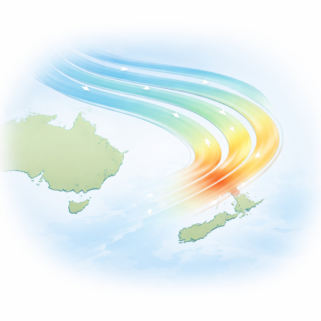
Across the South Pacific, long, narrow plumes of moisture in the sky – known as atmospheric rivers – are already shaping the lives of people in New Zealand and beyond. These hidden rivers bring both welcome rain for water supplies and dangerous downpours that can trigger floods and landslides. This study asks a pressing question: as the planet warms, when and where will these sky-borne rivers change enough that we can clearly see the trend, and what will that mean for communities in their path?
What Are These Invisible Rivers?
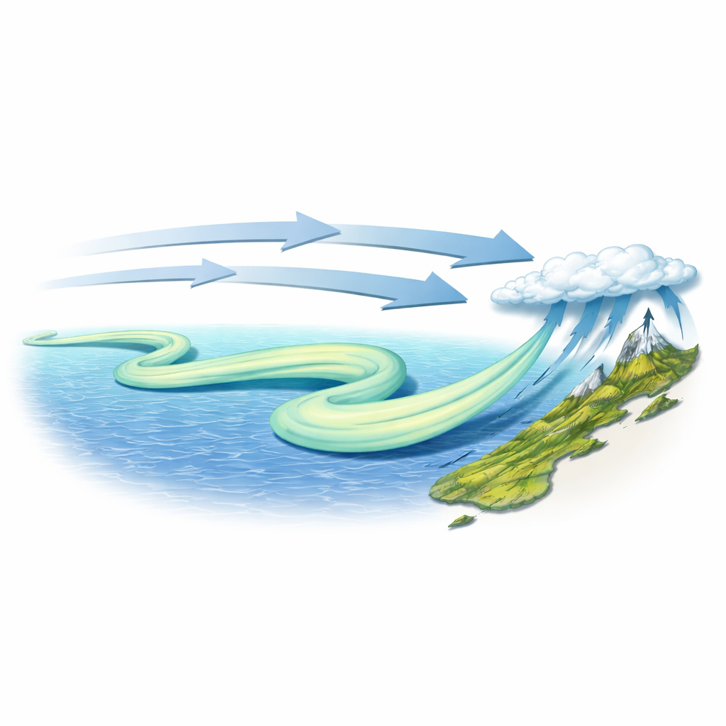
Atmospheric rivers are giant conveyor belts of water vapor, sometimes carrying as much moisture as the Amazon River but high above the ocean surface. When they sweep over land and are forced up over hills and mountains, that moisture can fall as heavy rain or snow. Weaker events help refill reservoirs and nourish glaciers, but stronger ones can unleash destructive floods and powerful winds. Because of their size and punch, scientists are increasingly treating atmospheric rivers as a key piece of the global water cycle and a major driver of extreme weather.
A Hotspot Over the South Pacific
Global climate models have long hinted that the South Pacific, especially the region around New Zealand, will be a hotspot for changes in atmospheric rivers. This paper brings together the best available weather reanalyses (data-driven reconstructions of past weather) with some of the highest-resolution climate model projections yet produced for this region. By carefully dissecting the trends since 1960, the authors find that increases in moisture transport have so far been strongest over the open ocean – particularly over the stormy belt south of New Zealand and along a band of tropical thunderstorms known as the South Pacific Convergence Zone. Over land, including New Zealand and Tasmania, clear long-term trends in landfalling atmospheric rivers are only just beginning to peek out from the year-to-year weather noise.
Warming Air, Shifting Winds
To understand what is driving these changes, the study separates the effects of warmer, moister air from shifts in the winds that steer storms. As the atmosphere warms, it can hold more water vapor, so even if winds stayed the same, the moisture carried by atmospheric rivers would increase. The authors confirm that this “thermodynamic” boost is already raising typical moisture levels over the South Pacific. At the same time, they examine how the belt of strong westerly winds around Antarctica – the storm track – has been nudged and stretched by influences such as ozone depletion and rising greenhouse gases. These wind changes are more subtle and harder to pin down, and climate models still struggle to capture them perfectly, especially in the Southern Hemisphere.
Near-Future Changes at New Zealand’s Shores
Using six high-resolution climate simulations that zoom in on New Zealand and the surrounding ocean, the authors ask when trends in landfalling atmospheric rivers will become unmistakable over land. Most of the models agree that, even under a moderate emissions pathway, clear and widespread increases in the frequency of these events will show up across New Zealand’s South Island within the next 10 to 20 years, especially during winter and spring. The rugged west coast of the South Island – already prone to intense rainfall and major flooding – is projected to be the first place where these shifts become obvious. In contrast, the North Island, particularly its far north, is expected to see detectable trends much later, and in some cases not until near the end of the century.
The Most Extreme Events Become More Common
The study also focuses on the rarest, most intense atmospheric rivers, those that today might strike a given spot only once every several years. By pooling results across all models, the authors estimate how often these top-tier events could occur in the future. Their findings are sobering: before mid-century, even with only moderate emissions, the frequency of the strongest atmospheric rivers may double over much of the South Island. By late century, some areas may see a fivefold increase. In practical terms, places that historically faced such an event roughly every five years could be confronting them almost annually, sharply raising the risks of repeated, severe flooding and back-to-back storms that leave little time for recovery.
What This Means for People and Planning
For a general reader, the message is clear: the “rivers in the sky” that feed New Zealand’s water resources are on track to become more frequent and more extreme as the climate warms. While the exact timing and size of the changes differ from model to model, there is strong agreement that the South Island, particularly its west coast, will feel the effects first and most strongly. Even if global emissions follow a middle-of-the-road path, communities, infrastructure planners, and emergency managers will need to prepare for a future where intense rainstorms associated with atmospheric rivers are not rare anomalies, but a regular part of life.
Citation: Gibson, P.B., Rampal, N., Goddard, F.W. et al. Emerging trends in landfalling atmospheric rivers over the South Pacific. npj Clim Atmos Sci 9, 63 (2026). https://doi.org/10.1038/s41612-026-01338-3
Keywords: atmospheric rivers, New Zealand climate, extreme rainfall, South Pacific storms, climate change projections