Clear Sky Science · en
East Asian Meiyu variability reflected in precipitation oxygen isotopes via western Pacific subtropical high
Why this rainy season matters
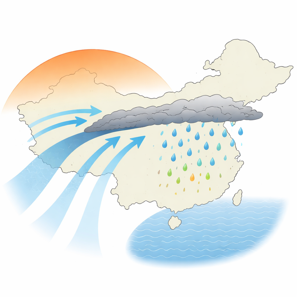
Every summer, a narrow band of rain stalls over eastern China, South Korea, and Japan, bringing weeks of cloudy skies, flooding downpours, and life‑giving water. This "Meiyu" rainy season shapes harvests, city life, and even landslide risk for hundreds of millions of people. Scientists have long turned to subtle chemical fingerprints in rain, caves, and tree rings to reconstruct how this monsoon belt behaved in the past. But can those fingerprints really tell us how the Meiyu itself has changed, or are they blurred by weather patterns spread across half a continent? This study tackles that question head‑on.
Tracing the story written in raindrops
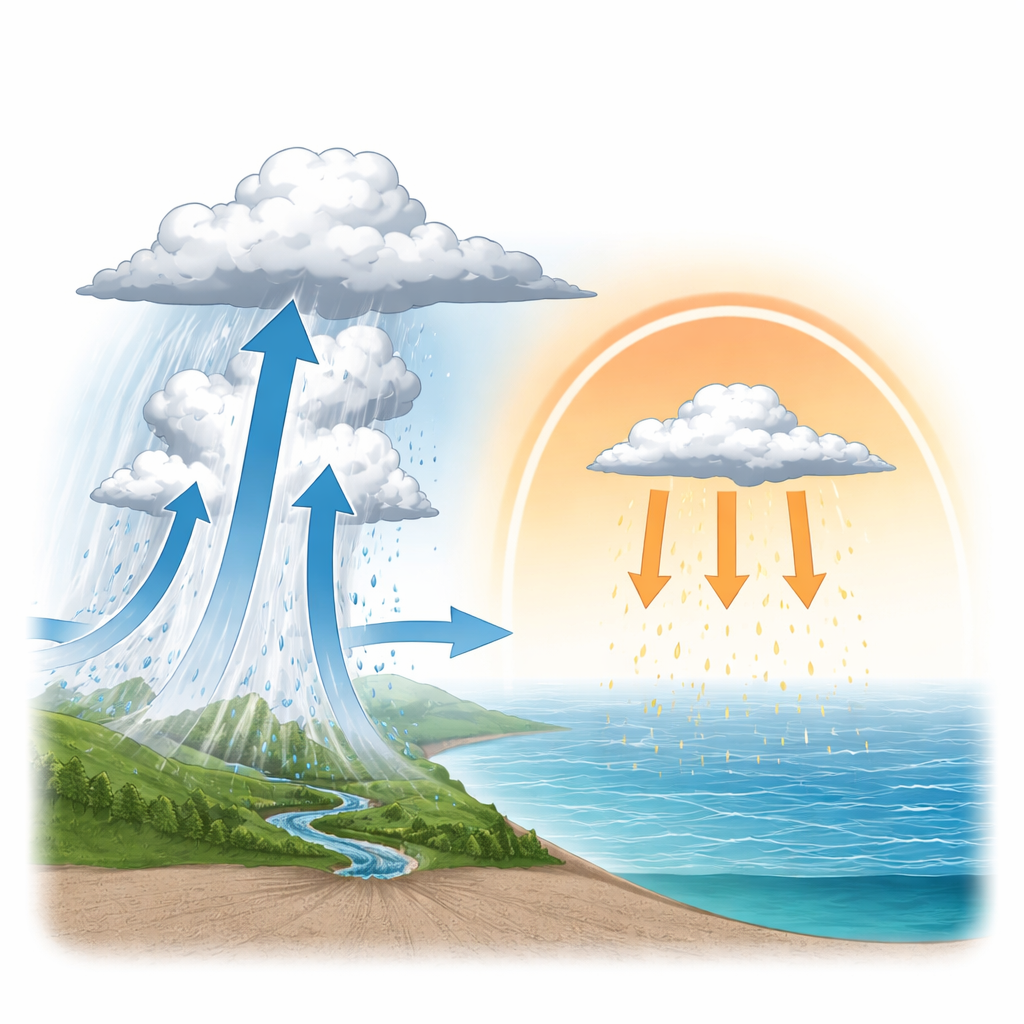
When water evaporates from oceans and falls again as rain, the ratio of heavy to light oxygen atoms in the droplets shifts in predictable ways. These tiny differences, written as δ18O, are preserved in cave deposits and tree rings and are widely used to infer past rainfall. Traditionally, many scientists assumed that lower δ18O simply meant heavier local rain. Recent work, however, suggests that the history of clouds and storms along an air mass’s path – not just at the final rainout spot – can dominate this signal. The authors focus on the Meiyu belt across the Yangtze–Huai River Basin, using detailed daily measurements of δ18O at four stations from south to north to see exactly how these isotopic fingerprints relate to the waxing and waning of the famous rainband.
North and south tell different rain stories
The team first compared daily δ18O in rain with the evolving life cycle of each Meiyu season. At sites in the middle and northern part of the belt, such as Nanjing and Hemuqiao, δ18O dropped sharply as the organized rainband intensified overhead and stayed low during active phases. When the Meiyu front weakened or broke, δ18O climbed. By looking back over several days of rainfall upstream, the researchers showed that the isotope signal reflects the history of deep, organized storms marching along the Meiyu front, not just local showers. In contrast, at southern edge sites like Changsha, daily δ18O lined up instead with rain systems forming farther south, beyond the formal Meiyu zone. There, the local rain chemistry was largely blind to what the Meiyu belt was doing to the north.
A hidden steering wheel over the Pacific
To understand why the isotope record splits so sharply between north and south, the study zooms out to the broader wind patterns. A sprawling high‑pressure system over the western Pacific acts as a kind of steering wheel for summer weather in East Asia. When this high shifts northwestward, it drives strong southwesterly winds that funnel warm, moist air into the Meiyu belt. Along the high’s northwestern edge, rising motion, thick clouds, and intense, long‑lived rain systems blossom, stripping heavy oxygen from the vapor and producing strongly depleted δ18O in the middle and northern belt. Under the core of the high farther south, however, air slowly sinks. This subsiding lid keeps storms shallow, even though the air is moist and unstable. As a result, southern sites receive rain that has not been strongly processed by deep convection, and their δ18O values stay relatively high.
Two regimes, one rainy season
By separating the roles of moisture supply and vertical motion, the authors show that in the middle and northern Meiyu belt, δ18O is controlled by a tight coupling between how much water vapor arrives and how strongly it is lofted into tall storm clouds. In the south, the amount of moisture matters much less; instead, the key factor is whether dynamic forcing can briefly punch through the high‑pressure lid and allow deep convection to develop. On both day‑to‑day and year‑to‑year scales, low δ18O at Nanjing consistently coincides with stronger Meiyu rains and a western Pacific high that has stretched northwestward. Meanwhile, southern margin records respond in nearly the opposite way to the same shifts, underscoring that they are sensing a different facet of the atmosphere.
What this means for reading the past
The study’s central message for non‑specialists is straightforward: not all rain records from East Asia are telling the same story. Cave formations, tree rings, and rain samples from the middle and northern Meiyu belt do provide a reliable window onto changes in the strength and position of the Meiyu rainy season itself. But records from the southern edge mainly reflect how a giant Pacific high‑pressure system alternates between feeding and suppressing deep storms there. To reconstruct past climate faithfully, scientists must therefore interpret these natural archives with an eye to where they sit relative to the shifting Meiyu belt and its controlling high. In short, the same isotope signal can mean different things depending on location – and this work maps out those differences in unprecedented detail.
Citation: Li, R., Cai, Z., Yu, X. et al. East Asian Meiyu variability reflected in precipitation oxygen isotopes via western Pacific subtropical high. npj Clim Atmos Sci 9, 62 (2026). https://doi.org/10.1038/s41612-026-01336-5
Keywords: East Asian monsoon, Meiyu rainfall, oxygen isotopes, western Pacific subtropical high, paleoclimate records