Clear Sky Science · en
Differentiating the thermal effects of land use change and functional intensity dynamics in Beijing
Why City Heat Patterns Matter
Cities around the world are getting hotter, not only because of global climate change but also because of how we build and use urban space. This study looks closely at Beijing, one of the world’s largest megacities, to untangle how two different forces—physical land change and the intensity of human activity—jointly shape where and when the city heats up or cools down. Understanding these patterns helps city planners and residents see which kinds of growth make neighborhoods uncomfortably hot, and which choices can actually create cooler urban oases.
Looking at the City in Three Rings
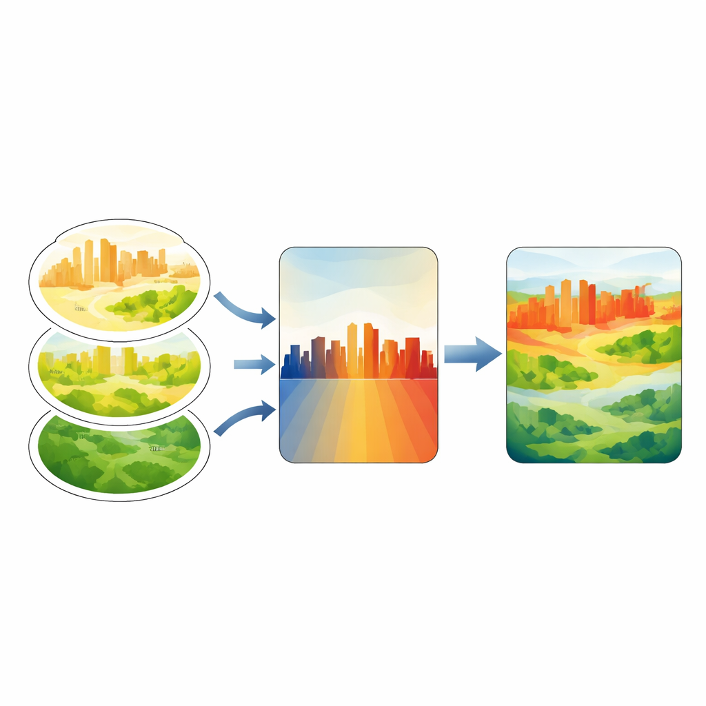
The researchers divided Beijing into three broad rings that reflect how the city has evolved: a dense central core, fast-growing suburban districts, and outer ecological zones on the edge. While Beijing’s overall urbanization rate barely changed between 2012 and 2019, the internal rearrangement of land and activity was intense. The team used satellite data to track where natural land such as fields and forests was replaced by buildings and roads, and where existing built-up areas became more intensively used. This three-ring layout makes it possible to see how the same type of change—for example, new construction—can have very different heating effects in the downtown area compared with the suburbs or the rural fringe.
Seeing More Than Just Buildings from Space
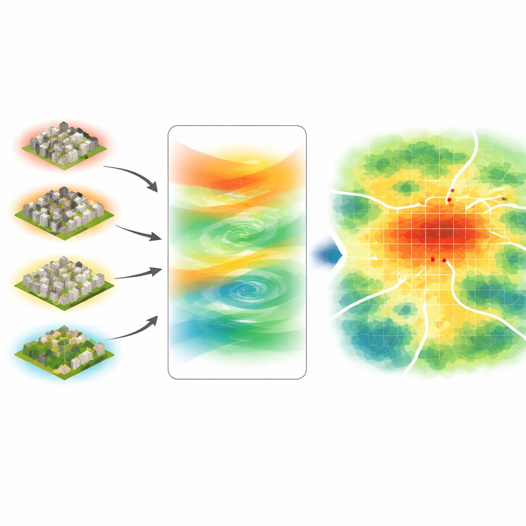
Instead of only mapping where buildings appeared or disappeared, the study also measured how strongly each part of the city was being used. To do this, the researchers combined nighttime light—from streetlights, shops, and homes—with a measure of vegetation health called NDVI, producing an index of urban functional intensity (IDI). Bright lights and sparse greenery signal areas of intense human activity; dimmer lights and healthy vegetation suggest gentler use. At the same time, they built a land change intensity scale (LCintensity) that ranks different kinds of transformation—from heavy densification to de-urbanization—according to how strongly they reshape the landscape. These two indicators were then linked to changes in land surface temperature, a satellite-based measure of how hot the ground becomes over time.
Where the City Heats Up the Most
The results show that Beijing’s three rings behave very differently. In the core, outright expansion is limited, so the main story is intensification: taller and denser buildings on land that is already urban. This intensification raises surface temperatures, but the core is not the hottest place overall. The outer ecological ring warms most when natural land is converted into new built-up areas; there, expansion is the leading driver of higher temperatures, largely because vegetation that once cooled the land is removed. The suburbs—where new development, redevelopment, and policy-driven demolition collide—show the strongest and most variable responses. In winter, suburban areas with more intense activity are clearly warmer than quieter ones. In summer, however, some highly active suburban zones actually appear cooler than their low-activity counterparts, hinting at a complex “cool island” effect created by trees, parks, water, shade from tall buildings, and reflective materials.
When Change and Activity Work Together
By combining the functional intensity index with the land change scale, the study uncovered specific “hot pathways” where different types of change and activity amplify warming. In the city center, a surprising hotspot appears where land is heavily intensified even though overall functional intensity is relatively low, suggesting that squeezing more construction into quieter pockets can still generate strong heating. In the suburbs, areas that are being partially cleared or downgraded—so-called degradation or de-urbanization—often heat up rather than cool down, because newly exposed bare ground and rubble absorb the sun’s energy. On the outskirts, both intense new development and certain forms of de-urbanization create notable warm zones, reflecting the delicate balance between construction and ecological protection.
What This Means for Future Cities
For non-specialists, the main message is that not all urban growth is equal when it comes to heat. The study suggests that Beijing’s “life cycle” of heat moves from highly sensitive outer areas, through a turbulent suburban band, into a more saturated core where additional change has a smaller effect. Smart policies—such as protecting and expanding urban forests, greening roofs and walls, using lighter, more reflective materials, and carefully planning where to densify or demolish—can turn even busy districts into cooler environments. By separating and then recombining the roles of land change and human intensity, this work offers a practical roadmap for designing city neighborhoods that are livable in a warming world.
Citation: Wei, H., Gong, A., Wan, J. et al. Differentiating the thermal effects of land use change and functional intensity dynamics in Beijing. Sci Rep 16, 10701 (2026). https://doi.org/10.1038/s41598-026-44866-x
Keywords: urban heat island, Beijing urbanization, land use change, nighttime lights, urban cooling strategies