Clear Sky Science · en
Beyond the forests: peatlands as overlooked carbon stores in coastal British Columbia
Hidden climate heroes in soggy places
When we think about nature soaking up planet‑warming carbon, towering forests usually steal the spotlight. But in the rainy coastal regions of British Columbia, quiet, soggy landscapes called peatlands are quietly locking away far more carbon than the famous temperate rainforests next door. This study asks a simple but overlooked question: just how much carbon is stored in these wet, mossy areas, and what does that mean for climate and conservation decisions in the region?
Why wet ground matters
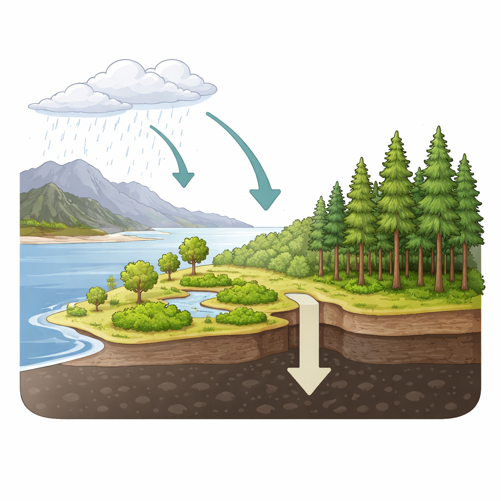
Peatlands form where plants grow faster than they can fully rot, often in cold, waterlogged conditions. Over thousands of years, layer upon layer of dead mosses and other plants build up into deep peat, much like a slowly growing underground sponge of stored carbon. Globally, peatlands cover only a small share of Earth’s land but hold nearly a third of all soil carbon. Along coastal British Columbia, scientists knew peatlands existed among the lush rainforests, but their size, depth, and carbon content had never been measured in detail. Without those numbers, their role in regional climate planning remained a guess.
Measuring the carbon hidden below
The researchers visited six peatland sites spread across northern and southern coastal British Columbia, on islands and low‑lying coastal terrain. At each site they laid out plots, measured the depth of the organic layer at many points, and recorded the trees and shrubs growing above. Instead of cutting and weighing all the vegetation, they used standard equations that link tree diameter to biomass, and then converted that biomass into carbon. For carbon stored belowground, they combined their peat depth data with measurements from nearly a hundred additional soil cores in a national peat database. Those cores provided information on how dense the peat is in different states of decomposition, allowing the team to estimate how much carbon is packed into each square metre of ground.
Peatlands versus the big trees
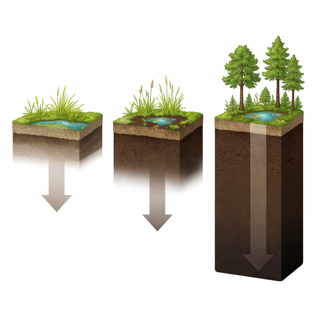
Across the coastal region, the findings were striking. Aboveground, the peatlands held relatively little carbon in wood: on average just over one kilogram of carbon per square metre in trees and shrubs, and often far less in open bogs with few or no trees. Underground, the story flipped. Peat layers commonly exceeded a metre in thickness and sometimes reached more than four metres, so that the peat itself held about forty times more carbon than the living vegetation on top. On average, peatlands in northern coastal British Columbia stored about 59 kilograms of carbon per square metre, and those in the south about 99 kilograms. By comparison, the celebrated coastal rainforests nearby store around 20 kilograms of carbon per square metre in their tree biomass. In other words, area for area, the soggy peatlands store roughly three to five times more carbon than the forests that surround them.
How big is the peatland puzzle piece?
To understand the peatlands’ importance for the whole region, the team had to know how much area these wetlands actually cover. Here they ran into a major problem: existing maps do not agree. Different national and global mapping efforts, including those using satellite data and machine‑learning models, give peatland coverage estimates ranging from just a few percent of the coastal zone to more extensive patches. Some mapping products miss forested peatlands that look like ordinary woods from above, while others gloss over the fine‑scale bumps and hollows that control where peat can form in this rainy, rugged landscape. Using the map that showed the largest plausible peatland area, and their own average carbon values, the authors estimated that peatlands likely cover about 5% of the coastal Western Hemlock zone yet store roughly 370 million tonnes of carbon—about one fifth as much as all the upland forests in the same region.
Why this matters for climate and protection
For a general reader, the key message is that in coastal British Columbia, the most important carbon stores are not just the big trees you can see, but the dark, waterlogged soils under your feet. Even in one of the world’s most carbon‑dense forest regions, peatlands still hold three to five times more carbon per unit area than the neighboring rainforests. Because peat builds up over thousands of years, any drainage, development, or logging that disturbs these wet soils can release carbon that will not be quickly replaced. The study argues that peatlands—especially those hidden beneath forest canopies and those missing from current maps—must be better surveyed, recognized, and protected. Doing so is essential if British Columbia is to give full weight to these quiet carbon giants in its efforts to manage landscapes and slow climate change.
Citation: Martens, H.R., Kreyling, J. Beyond the forests: peatlands as overlooked carbon stores in coastal British Columbia. Sci Rep 16, 9540 (2026). https://doi.org/10.1038/s41598-026-44791-z
Keywords: peatlands, carbon storage, coastal British Columbia, wetlands, climate mitigation