Clear Sky Science · en
Assessment of coastal bedrock groundwater quality in Jiaodong Peninsula via extension cloud model and resampling strategy
Why coastal groundwater matters to everyday life
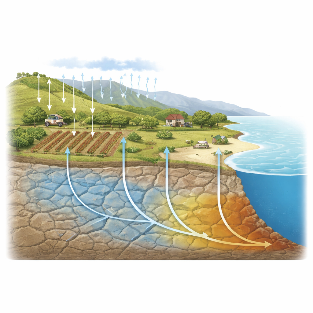
Along many popular coastlines, the clear tap water that fills hotel sinks and irrigates seaside farms actually comes from hidden water stored in fractured rock beneath our feet. Tourism demands high water quality, yet this underground supply is increasingly tainted by farm chemicals and household waste. This study focuses on a busy tourist region in China’s Jiaodong Peninsula and asks a practical question with global relevance: how safe is the local groundwater to drink when data are sparse and pollution comes from many different sources at once?
A landscape caught between tourism and farming
The Jiaodong Peninsula is a hilly coastal area with short streams that quickly run to the sea and often dry up for part of the year. Because surface water is unreliable, towns, villages, and tourist facilities rely heavily on groundwater pumped from cracks in bedrock rather than from uniform sand or gravel. Rainfall seeps downward through soil, dissolving minerals from the surrounding rocks and carrying along residues of fertilizers, animal waste, and domestic sewage. This combination makes the aquifer both essential and vulnerable: a lifeline for drinking water and irrigation, yet easily disturbed by human activity spread across the landscape.
Reading the chemical fingerprints in rock-bound water
To understand what is happening underground, the researchers sampled 18 monitoring wells that span inland farmland and coastal residential zones. Basic measurements show that most of the water is fresh, slightly hard, and weakly alkaline—traits largely shaped by natural weathering of carbonate rocks such as limestone and dolomite. Diagrams comparing different dissolved ions reveal that calcium-rich minerals are the main natural source of the water’s chemistry, and that salt from evaporite minerals and ion swapping on clay surfaces further tweak the mix. These signatures paint a picture of groundwater that, in the absence of human influence, would likely be of good drinking quality.
Hidden fingerprints of farms and household waste
Yet the statistics also expose clear human fingerprints layered on top of this natural background. Nitrate, a common fertilizer ingredient, rises and falls in lockstep with salinity measures, a pattern typical of widespread agricultural runoff returning from irrigated fields. In contrast, potassium closely tracks measures of organic material, a pairing more suggestive of sewage or livestock waste. Together, these patterns reveal a dual-source pollution story: diffuse fertilizer pollution spread over large areas and concentrated organic discharges from particular points. Both types of contamination push some wells beyond safe limits, even when other ions still appear benign.
A smarter way to judge water safety with limited data
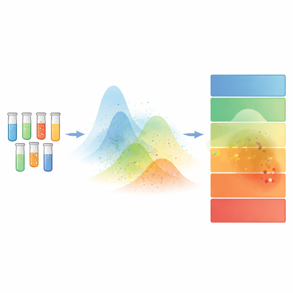
Conventional rating systems for water quality often combine many measurements into a single score by simple averaging. In fractured bedrock, where conditions change sharply from place to place, this approach can hide serious problems when mostly clean indicators drown out a few dangerous ones—a flaw known as the “eclipsing effect.” To avoid this, the authors use an “Extension Cloud Model,” a mathematical framework that treats water quality as a fuzzy cloud rather than a fixed number. It characterizes each water-quality class using three traits—where values tend to fall, how widely they spread, and how uncertain that spread is—then compares each sample to all classes at once. A resampling strategy, akin to repeatedly redrawing from the same small dataset, helps estimate how the whole region behaves, even with only 18 wells.
What the new lens reveals about risk
Viewed through this cloud-based lens, the aquifer looks far less secure than traditional indices suggest. The model finds that nearly 39 percent of the sampled groundwater falls into categories considered unsafe for drinking, mainly due to excess fluoride, organic contamination, or both. The region as a whole sits in an uneasy middle ground between moderate and poor quality, with large differences from well to well and clear signs that conditions are shifting for the worse. Crucially, several wells that older methods rated as acceptable are reclassified as high risk once the model stops averaging away the most hazardous ingredients. In effect, the new approach turns a deceptively reassuring regional grade into a sharper, risk-focused diagnosis.
What this means for coasts beyond China
For non-specialists, the main message is straightforward: in coastal regions where groundwater flows through fractured rock and monitoring wells are few, standard “report card” scores can underestimate danger. By embracing uncertainty instead of ignoring it, the cloud-based framework highlights both diffuse farming impacts and pinpoint sewage problems before they fully undermine water safety. The authors argue that similar methods could help coastal communities worldwide move from static averages to early-warning tools, guiding smarter pollution control and better protection of the drinking water that quietly sustains tourism, agriculture, and daily life.
Citation: Dong, W., Zhang, B., Hu, X. et al. Assessment of coastal bedrock groundwater quality in Jiaodong Peninsula via extension cloud model and resampling strategy. Sci Rep 16, 8900 (2026). https://doi.org/10.1038/s41598-026-43422-x
Keywords: groundwater pollution, coastal aquifers, drinking water safety, agricultural runoff, water quality assessment