Clear Sky Science · en
Downscaling the spatial resolution of satellite imagery based on morphometric parameters to estimate the Topographic Wetness Index using GIS tools
Why Sharper Maps Matter for Mountain Safety
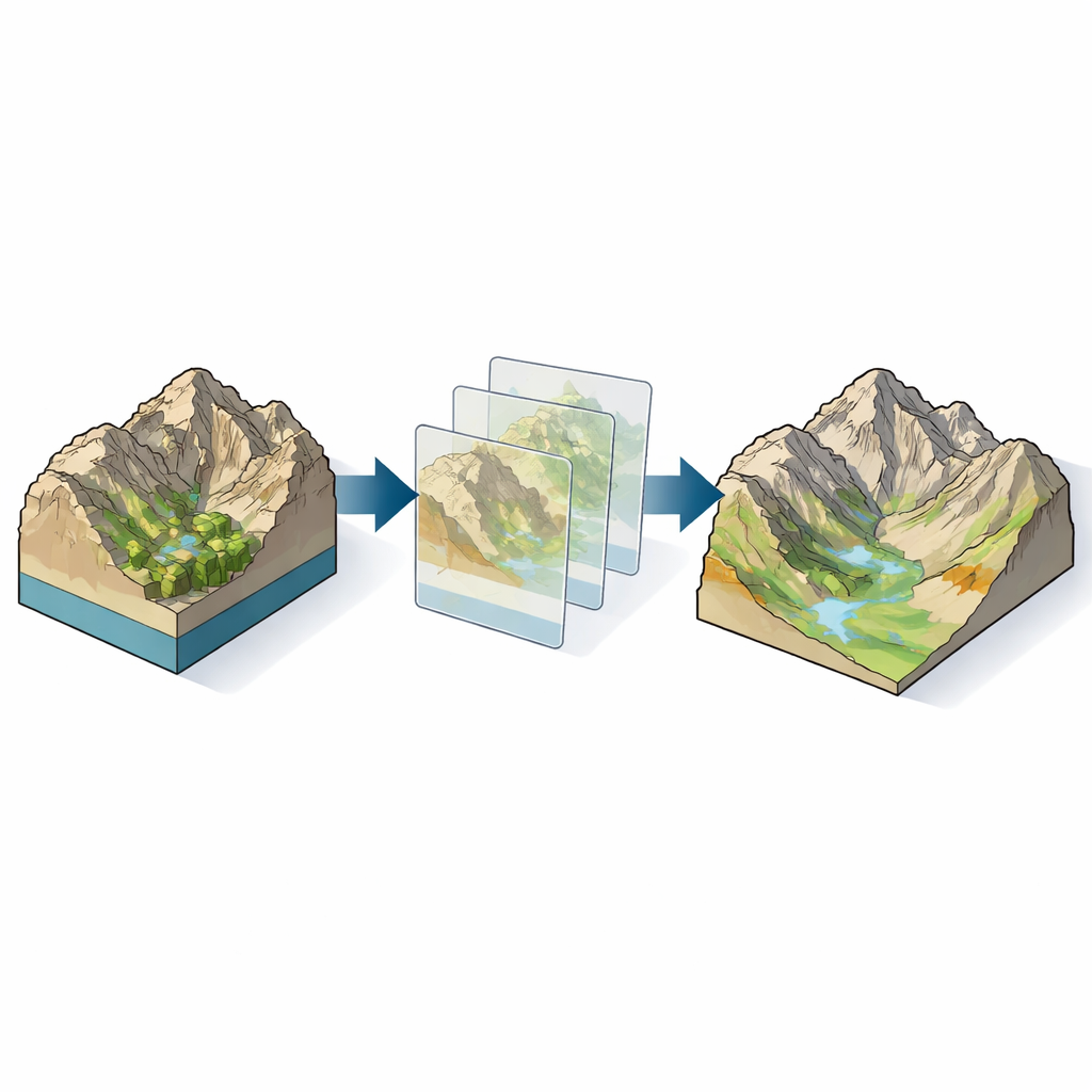
In steep, rainy mountain regions, small differences in the shape of the ground can decide where water pools, where soil gets saturated, and where a hillside might suddenly give way. This study explores how computer-made elevation maps of the land surface can be sharpened to better capture those subtle shapes, so that planners and scientists can more reliably pinpoint areas prone to flooding, landslides, and other mass movements.
From Blurry Heights to Detailed Terrain
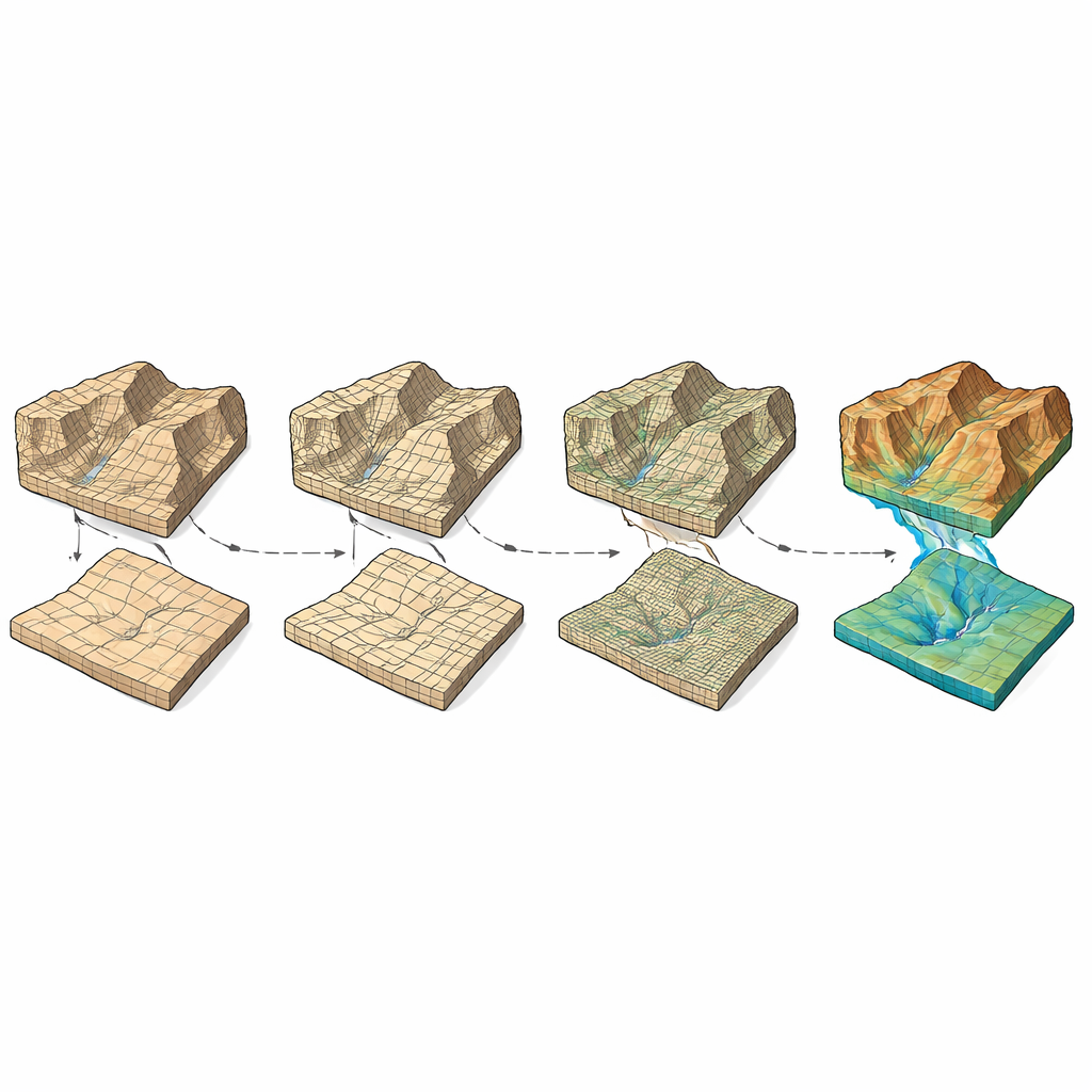
The work centers on Digital Elevation Models, or DEMs: gridded maps where each cell stores the height of the land. Coarse DEMs, with large cells, blur ridges, valleys, and drainage lines, while fine DEMs reveal much more detail. But high-resolution data are not always available or affordable, especially in remote mountains. The authors studied how different mathematical approaches can “downscale” or refine coarser DEMs into finer ones, creating sharper representations of the terrain without new field surveys.
The Mountain Basin as a Natural Laboratory
The researchers focused on the Jhelum Basin in Azad Jammu and Kashmir, a rugged, landslide-prone region of Pakistan that experiences intense rainfall and sudden mass movements. They used several DEM datasets with cell sizes of 30, 20, 12.5, and 1.5 meters, some derived from satellite missions and others from detailed ground surveys. These datasets allowed them to test how well different downscaling methods could reproduce a trusted, very detailed reference surface, and how that, in turn, affected measurements of slope, aspect (the direction a slope faces), curvature, and water flow pathways.
Putting Downscaling Methods to the Test
Six techniques were compared: common interpolation methods such as nearest neighbor, majority, bilinear, bicubic, and kriging, along with a more advanced Hopfield Neural Network (HNN) approach. Each method was used to refine coarser DEMs to finer resolutions, and the resulting surfaces were evaluated against high-quality survey data. The team focused on “morphometric factors” that describe terrain shape: how steep it is, which way it faces, whether it is concave or convex, how water accumulates, and the overall catchment pattern. These factors feed into the Topographic Wetness Index (TWI), a widely used measure that highlights where water is likely to collect and soils are likely to be wet or unstable.
Sharper Terrain Leads to Clearer Wet Spots
The analysis showed that all six methods improved DEM accuracy to some degree, but bicubic interpolation and especially the HNN method consistently performed best. When coarse data were refined to medium resolution, errors dropped by roughly a quarter to three quarters; when refined further toward the finest grid, accuracy improvements reached over 90 percent in some cases. These gains translated into much better estimates of first-order terrain properties such as slope and aspect, which are crucial for modelling mass movements. However, the study found that not every improvement in DEM accuracy automatically improved second-order products like curvature and TWI at the very finest scales; in some medium-to-high resolution cases, further resampling did little or could even degrade these more sensitive indicators.
What It Means for Landslides and Floods
To a non-specialist, the key message is that not all “sharpening” of elevation data is equal, and where you apply it matters. By carefully choosing how to refine DEMs—favoring methods like Hopfield Neural Networks and bicubic interpolation, and using them mainly when going from low to medium resolutions—scientists can obtain more trustworthy maps of how water moves through mountain landscapes and where the ground is likely to stay wet. Those more accurate wetness maps, in turn, help improve flood modeling, landslide susceptibility assessments, and land-use planning in risky terrains. The study provides practical guidance on which techniques work best, and warns that simply pushing for ever-finer grids does not always yield better predictions of where slopes may fail.
Citation: Shabbir, H., Ehsan, M., Raza, D. et al. Downscaling the spatial resolution of satellite imagery based on morphometric parameters to estimate the Topographic Wetness Index using GIS tools. Sci Rep 16, 8869 (2026). https://doi.org/10.1038/s41598-026-42557-1
Keywords: digital elevation model, topographic wetness index, landslide risk, terrain downscaling, mountain hydrology