Clear Sky Science · en
Geological, geomorphological, and environmental insights into the Neoproterozoic Aswan granites, Egypt: remote sensing and radiological assessment
Rocks Behind a Famous River
The granite hills around Aswan, in southern Egypt, are far more than a scenic backdrop to the Nile and its ancient temples. These hard rocks have guided the river’s path, supplied stone for obelisks and statues, and quietly emit natural radiation that matters for today’s builders and residents. This study looks at the Aswan granites from many angles—fieldwork, satellite images, and radiation measurements—to understand how they formed, how they shape the landscape, and how safely they can be quarried and used.
Different Granites, Different Stories
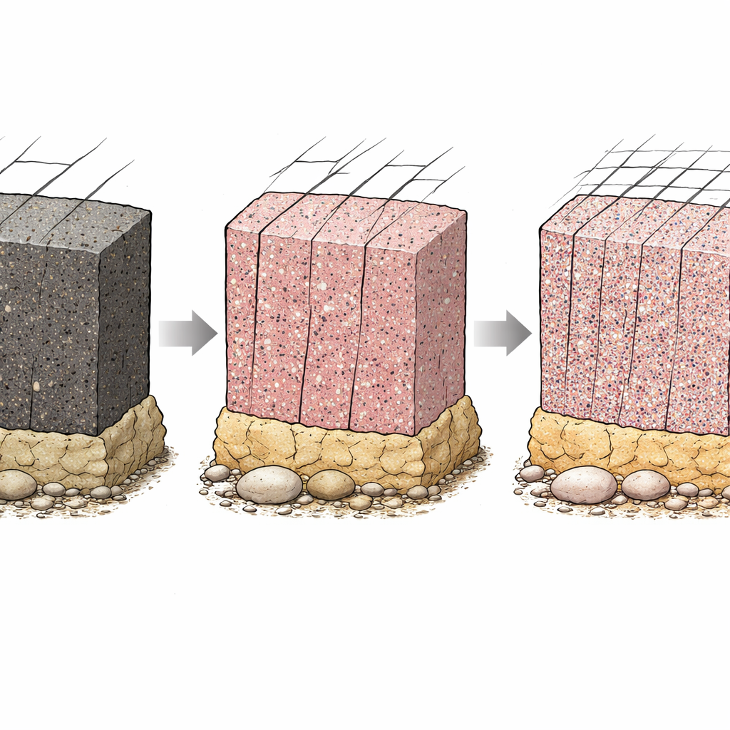
The authors identify four main kinds of granite in the Aswan area: dark grey tonalites–granodiorites, coarse pink granites, High Dam granites, and fine-grained granites. These rock types formed in several pulses more than 550 million years ago as the Earth’s crust in northeast Africa settled after a major mountain‑building episode. Each type has its own mix of minerals, grain size, and internal structure. The coarse pink granites, rich in large pink feldspar crystals, dominate the hills and islands near Aswan and supplied much of the stone for ancient monuments. The darker grey granites are tougher and less altered, while the fine-grained and High Dam granites often show signs of deformation and later reworking.
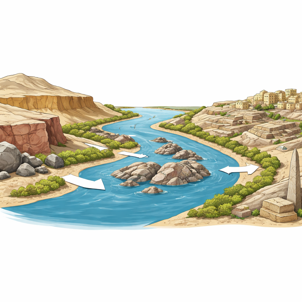
How Stone Shapes the River and the Land
Because these granites are very hard, they force the Nile to bend, narrow, and split around them, producing chains of rocky islands such as Sehel, Saluja, and Philae. Joint patterns—natural cracks that tend to run north–south and northeast–southwest—control where the river can more easily cut channels and where slopes break into blocks. Over time, intense heat and cold in this hyper‑arid climate cause the outer layers of the granite to peel and round off, creating domes, boulders, and tors. Where the river washes against the rock, chemical alteration eats into the lower parts of cliffs and islands, while the upper sections crumble mechanically, giving many outcrops a two‑tiered, step‑like appearance.
Watching from Space
To see the big picture, the team used PRISMA hyperspectral satellite data and other remote‑sensing images. These data split sunlight into hundreds of narrow color bands, allowing different rock types and land covers to be distinguished by their spectral “fingerprints.” The images clearly separate the granite belt on the eastern bank from the softer Nubian Sandstone on the west, and reveal how this contrast steers the river’s course. They also pick out individual islands, shear zones, joint patterns, and quarry scars, and track how urban areas and rangelands expanded between 2017 and 2023. In effect, the satellites show where the landscape is still close to its natural state and where human activity has begun to dominate.
Granite, Radiation, and Building Safety
Granite naturally contains small amounts of uranium, thorium, and potassium, which give off gamma radiation. By collecting dozens of rock samples from quarries and hills and measuring these elements, the researchers found that Aswan’s granites often have higher radioactivity than the global average. The fine‑grained granites, in particular, can be strongly enriched in these elements, while the High Dam granites tend to be rich in thorium and potassium. Dark grey granites and most coarse pink granites generally fall within accepted safety limits. When the authors calculated standard hazard indices, they saw that although the outdoor annual dose to the public remains below international guidelines, certain fine‑grained and deformed granites are unsuitable for indoor use or require careful block‑by‑block screening.
Stone Heritage Under Pressure
Quarrying has gone on at Aswan for thousands of years, from the famous unfinished obelisk carved in place in coarse pink granite to today’s mechanized pits. The study shows that quarry location and success are governed by rock type and joint patterns, which control block size, strength, and ease of extraction. But unregulated modern quarrying, combined with rapid urban growth, is altering slopes, changing drainage, and eroding the distinctive granite landforms that frame Egypt’s cultural heritage sites. By tying together ground observations, satellite mapping, and radiation data, the authors argue that geology and structure—not just climate—control how the Aswan landscape evolves and how safe its stones are to use.
Guiding Future Use of Aswan Stone
For non‑specialists, the key message is reassuring but cautionary. Most Aswan granites can be safely used, especially the coarse pink and greyish‑black varieties that built ancient Egypt, but some finer and strongly deformed rocks carry enough natural radioactivity to warrant restrictions indoors. The study provides local authorities with practical guidelines: prioritize safer granite types, monitor quarry expansion from space, test blocks from higher‑risk areas, and fold geological and radiological information into land‑use planning. In doing so, Aswan can continue to supply building stone and sustain its economy while protecting both public health and one of the world’s classic rock‑and‑river landscapes.
Citation: El Bahariya, G.A., Salem, I.A., Saleh, G.M. et al. Geological, geomorphological, and environmental insights into the Neoproterozoic Aswan granites, Egypt: remote sensing and radiological assessment. Sci Rep 16, 8588 (2026). https://doi.org/10.1038/s41598-026-41770-2
Keywords: Aswan granite, Nile River geomorphology, natural radioactivity, remote sensing, stone quarrying