Clear Sky Science · en
Scenario based traffic optimization in Egypt performance gains through simulation modeling
Why city traffic in one Egyptian square matters to all of us
Anyone who has ever been stuck in a long line of cars knows that traffic is more than just an annoyance: it steals time, burns fuel, and dirties the air we breathe. In Mansoura, a busy city in Egypt, one central square has become a daily bottleneck for commuters, ambulances, and school buses. This study shows how careful computer modeling of that single intersection—Umm Kulthum Square—can turn chaos into smoother flow, with clear benefits for both drivers and the environment.
A crowded square in a growing city
Egypt’s cities have seen a rapid rise in car ownership, while public transport struggles with delays and overcrowding. In places like Mansoura, this mix leads to slow-moving traffic, long queues, and high levels of air pollution. Umm Kulthum Square is a prime example: it is ringed by government offices, hospitals, schools, shops, and a major mosque, all feeding cars and pedestrians into a dense web of lanes and intersections. At peak hours, vehicles inch forward, engines idle, and exhaust builds up in the air that residents, workers, and patients must breathe.
Turning satellite images into a digital test bed
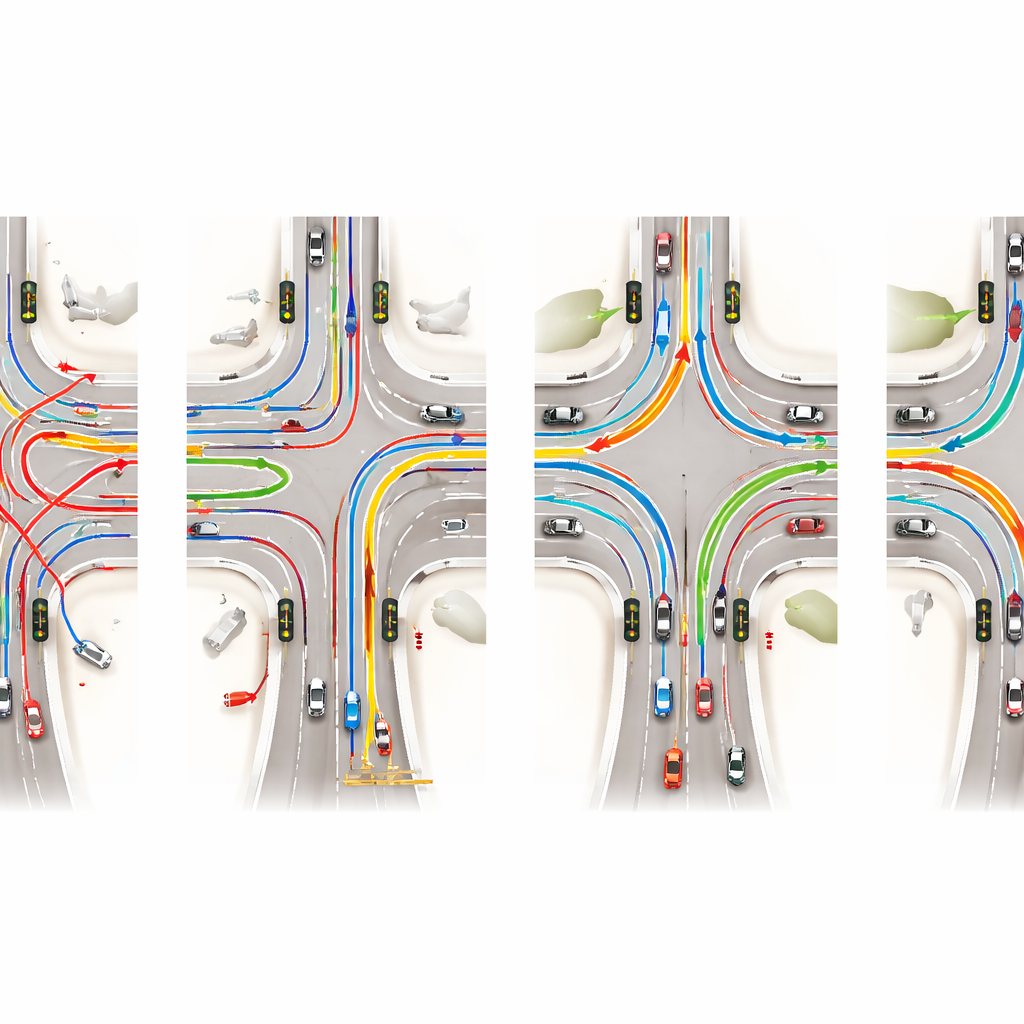
Instead of rebuilding roads in the real world and hoping for the best, the researchers created a detailed virtual version of Umm Kulthum Square. They combined high-resolution satellite images from Google Earth with open mapping data to trace every lane, turn, and traffic light. This information was fed into SUMO, an open-source traffic simulation program that models each vehicle’s movements second by second. The team divided the area into eight sectors, measured lane widths, checked where U-turns and signals are placed, and then used SUMO’s tools to clean up and verify the digital road network.
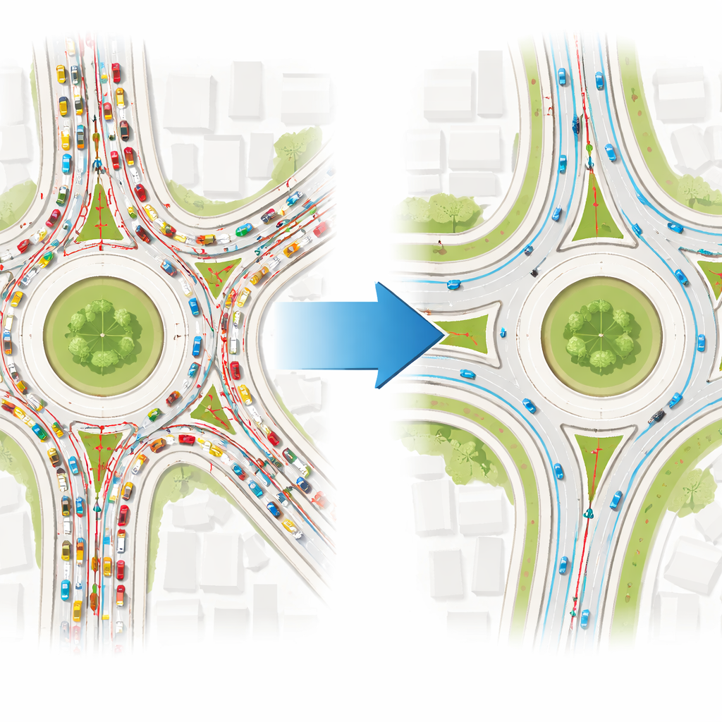
Two competing visions of the same streets
With the virtual square in place, the team ran two main scenarios. Scenario 1 reproduced current conditions as closely as possible, adjusting only lane counts to match real-world dimensions. Scenario 2 went a step further: lane connections were redesigned, special lanes were added or clarified for turning traffic, and traffic light locations and green-red cycles were rethought. Both scenarios were run for short and longer periods—just under 17 minutes and about an hour—to see how patterns developed over time. SUMO tracked not only travel and waiting times but also fuel use, noise, and key pollutants like carbon dioxide and nitrogen oxides, based on how each vehicle accelerated, braked, and idled.
What happens when signals and lanes are smarter
The optimized setup in Scenario 2 delivered clear gains. For the shorter run, the average journey became about a minute shorter, and vehicles spent less time stopped in queues. Over the longer run, the contrast grew starker: average waiting time was roughly halved, and departures from a standstill became smoother and less frequent. More vehicles were able to finish their trips within the same period, meaning the intersection handled traffic more efficiently without adding any new asphalt. Environmental indicators improved as well. Cars burned less fuel and released less carbon dioxide and other exhaust gases. Noise levels dropped, reflecting less stop-and-go driving and fewer snarled lines of vehicles pressing their horns.
What this means for everyday life
For a layperson, the central message is simple: by carefully redesigning how cars move through a complex intersection—without building new roads—cities can save people time, cut fuel costs, and clean up the air. In Umm Kulthum Square, smarter lane layouts and better-coordinated traffic lights turned a congestion hotspot into a more orderly and breathable space, at least in the computer model. The same approach can guide real-world upgrades, helping city planners in Egypt and elsewhere test ideas on screen before pouring concrete or installing new signals. As urban areas continue to grow, such simulation-based planning offers a practical path toward streets that are safer, faster, and healthier for everyone.
Citation: Fawzy, N., Mohamed, M.A., Amer, H.M. et al. Scenario based traffic optimization in Egypt performance gains through simulation modeling. Sci Rep 16, 10812 (2026). https://doi.org/10.1038/s41598-026-41535-x
Keywords: traffic congestion, urban mobility, traffic simulation, air pollution, intelligent traffic systems