Clear Sky Science · en
A security-oriented four-factor spatio-temporal framework for assessing and mitigating traffic congestion risks
Why Traffic Jams Are More Than Just a Nuisance
Most of us think of traffic jams as an annoying waste of time. This study argues they are something more serious: a security risk for entire city road networks. When roads clog, a city becomes less able to handle accidents, emergencies, or sudden disruptions. The authors present a new way to look at congestion not just as slow traffic, but as a form of risk that can be measured, mapped, and predicted in real time, helping cities act before gridlock spirals out of control.
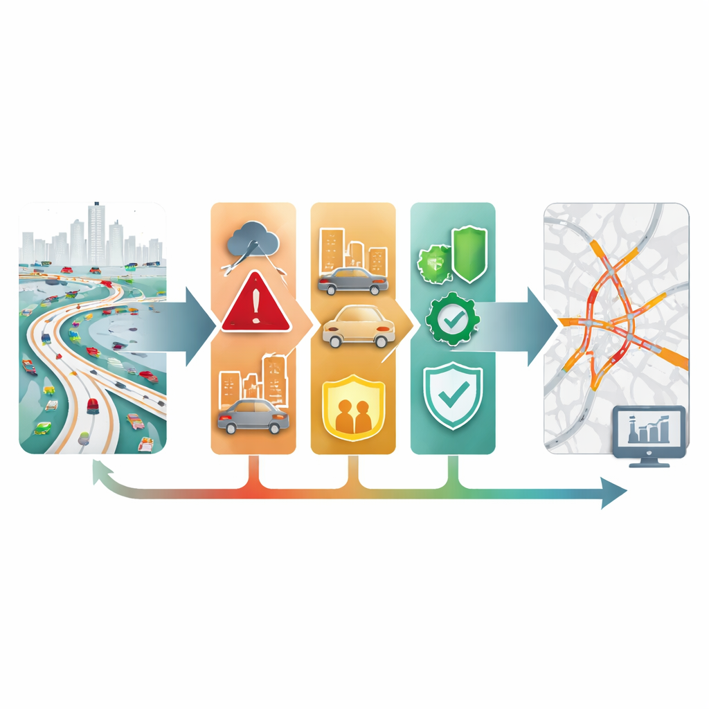
Four Simple Ingredients of Traffic Risk
The researchers build on a straightforward idea borrowed from disaster science: risk depends on four ingredients. First is hazard, meaning how likely and how severe a jam is. Second is exposure, or how many vehicles and people are caught in it. Third is vulnerability, which reflects how easily a local problem spreads and how slowly it clears. Fourth is mitigation capacity, the system’s ability to adapt and recover, for example through alternate routes or smart signals. Together, these four factors paint a fuller picture of when a busy road is just crowded and when it has become a fragile, accident-prone hotspot.
Turning Raw Sensor Data into Risk Maps
To make these ideas practical, the team draws on a vast trove of highway data from California’s PeMS system, which logs speed, flow, and lane occupancy every five minutes from thousands of detectors around Los Angeles, Orange County, the Bay Area, and San Diego. They carefully clean the data, fill in gaps, and build a digital map where each sensor is a node and nearby or strongly related sensors are linked. From this, they compute simple, standardized indicators for each factor—such as how unstable speeds are (hazard), how heavy the flow is (exposure), how long it usually takes to recover from a jam (vulnerability), and how many alternative paths are nearby (mitigation capacity). Each road segment thus receives a four-number risk profile that can change over time.
A Learning Machine That Follows Traffic Through Space and Time
On top of this data, the authors design a learning model called HiST-Graph, a type of spatio-temporal graph neural network. Unlike traditional traffic predictors that just estimate future speeds, this model is trained to understand how risk itself spreads through the network. It uses graph operations to share information between connected road segments and temporal convolutions to track how conditions evolve over minutes and hours. An attention module then learns how much to weigh each of the four factors at each place and time, combining them into a single dynamic congestion risk index that ranges smoothly from low to high risk.

What the Model Reveals About Daily Jams
When applied to a full year of data across the four California regions, the model reproduces familiar rush-hour patterns but adds new insight. Hazard and exposure spike during the morning and evening peaks, especially around major interchanges, while vulnerability and mitigation capacity change more slowly and reflect the underlying road layout and control systems. Dense downtown freeways tend to have high hazard and exposure, while places with more alternate routes or advanced control systems show stronger mitigation capacity. The model’s risk forecasts consistently beat those from standard tools, including classic time-series models and newer deep-learning approaches, and these gains hold across all four regions.
How This Helps Cities Stay Ahead of Gridlock
By moving from simple descriptions of slow traffic to a factor-based diagnosis of why and where risk is building, the framework offers practical guidance for planners and traffic managers. It can highlight segments where jams are both likely and consequential, flag early warning signs minutes before breakdown, and suggest whether the most effective action is to reduce flow, strengthen alternative routes, or improve recovery. In plain terms, the study shows that traffic jams can be treated much like other urban risks: they can be measured, mapped, and managed proactively, helping cities keep people and goods moving even when the road network is under stress.
Citation: Li, Y., Xu, Y., He, X. et al. A security-oriented four-factor spatio-temporal framework for assessing and mitigating traffic congestion risks. Sci Rep 16, 9548 (2026). https://doi.org/10.1038/s41598-026-41451-0
Keywords: traffic congestion risk, urban mobility, graph neural networks, intelligent transportation systems, resilient road networks