Clear Sky Science · en
Desertification monitoring in arid oasis environment using Google Earth Engine, machine learning, and field-based hydrogeological assessment
Why this oasis story matters
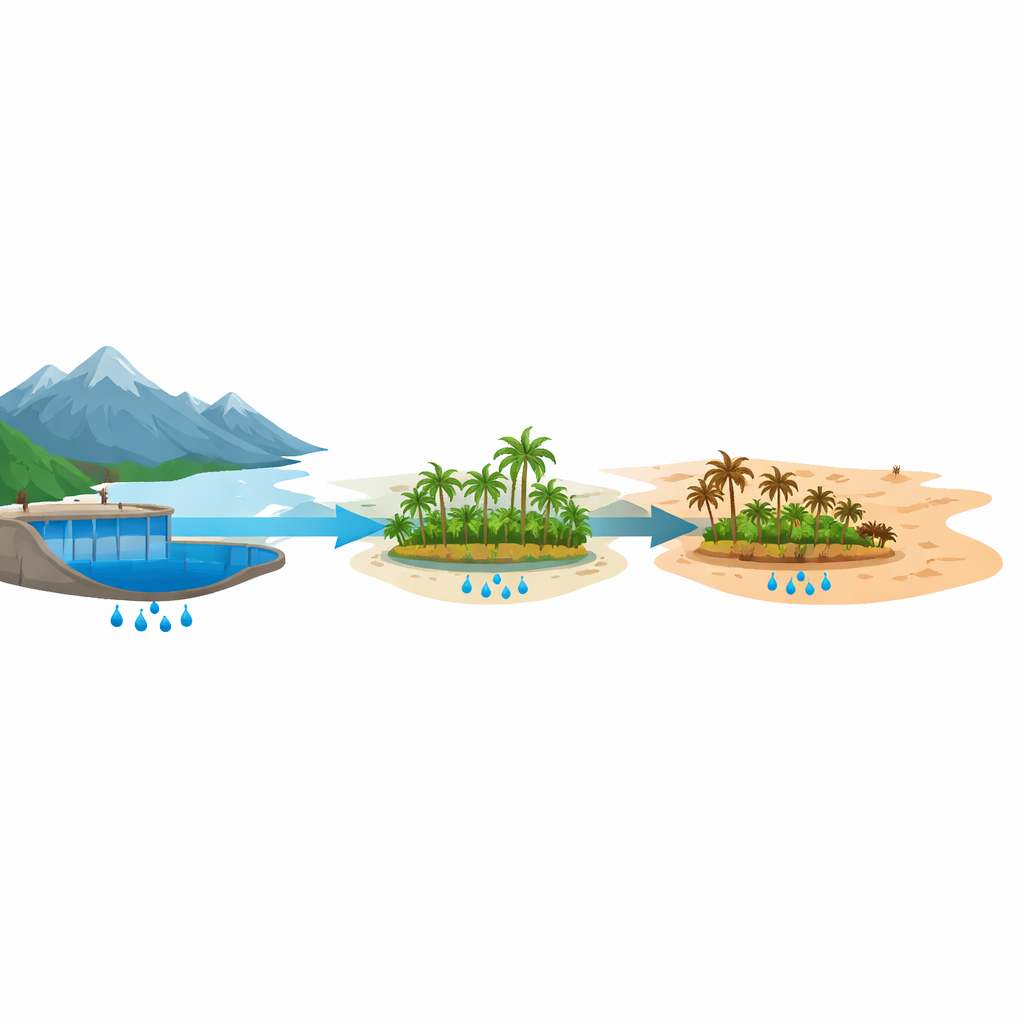
Across much of the world’s drylands, green islands of life known as oases make farming, herding, and village life possible in otherwise hostile deserts. This article tells the decades-long story of one such oasis in southern Morocco and asks a pressing question: can it survive in a warming, drying climate as rivers dwindle, groundwater sinks, and soils turn salty? Using satellite images, on-the-ground water testing, and interviews with farmers, the study traces how the Ternata Oasis has changed since the 1980s and what that means for food, livelihoods, and the future of similar fragile environments.
A shrinking green island
The Ternata Oasis lies along the Middle Draa River, downstream of a large dam that controls the region’s scarce water. For generations, its tall date palms shaded fruit trees and vegetable plots, creating a layered garden that softened the desert heat and fed local families. But over the last forty years, satellite records show that this green belt has repeatedly withered and only partially recovered. Vegetation peaked in the late 1990s and again around 2015, when heavy rains and generous dam releases briefly revived the oasis. Since then, plant health has steadily declined, the bright signature of bare soil has spread, and by 2021 the surrounding desert area became larger than the remaining cultivated oasis for the first time on record.
Looking from space and from the ground
To understand these changes, the researchers turned to the full archive of Landsat satellites, which have photographed the Earth since the 1980s. They used several standard color-based measures of plant health along with surface brightness to track where the oasis was thriving or fading. A modern machine learning method called gradient tree boosting helped sort each year’s imagery into three simple classes: healthy oasis, bare ground, and desertified land. This approach proved more accurate than other common algorithms, giving a reliable year-by-year map of how green patches shrank and barren zones expanded. At the same time, the team collected well measurements, water samples, soil samples, and farmers’ testimonies to see how conditions on the ground matched what the satellites saw.
Water cutbacks, salty soils, and stressed trees
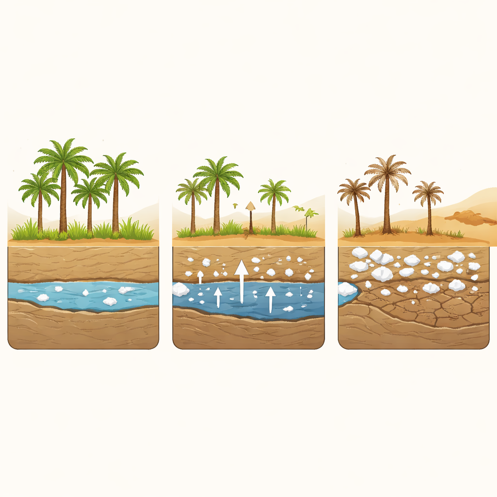
The picture that emerges is one of mounting water stress. Records from the El Mansour Eddahbi Dam show that, after 2015, inflows from the High Atlas Mountains plunged in most years, in step with repeated droughts and declining snowpack. In earlier decades, when more water was released for irrigation, green oasis area grew and desert patches retreated. After the mid-2000s, that relationship weakened: even when some water was available, it no longer translated into a healthy canopy. Fieldwork helps explain why. Wells that once reached water at about 12 meters must now extend close to 20 meters on average, making pumping far more expensive. Electrical conductivity readings show that many wells now carry salt levels above what date palms can tolerate, and soil samples from the core of the oasis reveal salinity high enough to stunt or kill crops.
Lives upended at the desert’s edge
For local residents, these trends are not abstract. Farmers interviewed for the study describe deepening wells several times, only to abandon them when costs soared through hard rock layers. Many have left agriculture altogether, seeking work in cities and sending money home to aging relatives. Those who remain report yellowing palms, lower yields, salty drinking water, and a surge in palm grove fires as dead and dying trees pile up and become tinder-dry. In just the last few years, thousands of palms have burned in large blazes, forcing villagers to clear out dead trunks simply to reduce the risk of future fires. Together, these social changes and environmental losses create a feedback loop in which fewer hands are available to maintain canals, manage salinity, or protect the groves, further hastening decline.
What this means for oases everywhere
In plain terms, the study shows an oasis sliding from a state of occasional hardship into one of chronic crisis. Less river water reaches Ternata, groundwater is deeper and saltier, plants are more stressed, and people are finding it harder to keep farming. The authors argue that this path is not inevitable: small flood-control and storage basins could help capture rare storms, better drainage and soil management could flush salts, and satellites can provide early warnings when vegetation begins to fail. Just as important are policies that share water more fairly between upstream and downstream users and efforts to keep young people engaged in managing the land. While focused on one Moroccan valley, the work offers a practical toolkit—combining space-based monitoring, field science, and local knowledge—that can help protect other oasis communities facing the advance of the desert.
Citation: Moumane, A., Azougarh, Y., Enajar, A.A. et al. Desertification monitoring in arid oasis environment using Google Earth Engine, machine learning, and field-based hydrogeological assessment. Sci Rep 16, 9212 (2026). https://doi.org/10.1038/s41598-026-41216-9
Keywords: desertification, oasis ecosystems, groundwater salinity, remote sensing, Morocco