Clear Sky Science · en
Measuring spatial equity between metro accessibility and public service demand in Shanghai using a data-driven framework
Why this matters for city life
For anyone who rides subways or cares about fair access to hospitals, schools, and other everyday services, how a metro system is planned can quietly shape life chances. This study looks at Shanghai’s vast metro and asks a simple but powerful question: do people flows and public services line up, or are some neighborhoods packed with riders but short on nearby help? Using detailed travel and location data, the authors show where the system serves people well—and where it leaves them behind.
Following people, not just maps
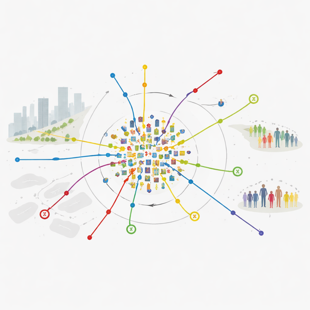
Most past studies measured access to services using static maps and administrative zones, assuming people behave like the average resident on paper. Here, the researchers instead follow real movements. They combine a week of anonymous smart-card records from the Shanghai Metro—millions of tap-ins and tap-outs—with detailed points of interest data for hospitals, schools, cultural venues, and shopping areas. For each station, they calculate how easy it is to reach these places within a reasonable travel time by metro and how many people actually use the station and when. This approach treats the metro not just as lines on a map, but as a living system of everyday flows.
Measuring access and demand
On the “supply” side, the team builds an accessibility score for every station. Stations get higher scores when riders can quickly reach many different public services; scores fall as travel times lengthen. Multiple kinds of services are combined into one index so that a station surrounded by top hospitals and schools will stand out from one with only a few shops. On the “demand” side, they create a station vitality index that captures how busy a station is overall, what share of trips look like daily commuting, and what share are leisure or shopping trips at off-peak times and weekends. This paints a nuanced picture: central business hubs, bedroom communities, and leisure destinations leave different fingerprints in the data.
Where metro service and needs don’t match
The heart of the study is a simple alignment score that compares each station’s accessibility with its demand. A high value means that service levels and people flows are in balance; a very low value signals mismatch—either too many people for too little access, or generous access that few residents actually use. When these scores are mapped across Shanghai, a striking pattern appears. Central districts, filled with hospitals, universities, and cultural venues, tend to enjoy strong accessibility and reasonable alignment with demand, even at crowded interchange hubs. In contrast, many outer-ring and coastal stations show intense commuter activity but much poorer access to city-level services, meaning residents face long and costly trips for high-quality care or culture. Network-wide, a Gini coefficient of 0.348—a measure often used to track income inequality—reveals a clear imbalance in how accessibility benefits are spread relative to where riders actually are.
Testing how solid the findings are
Because such indices depend on choices about how to model travel time and weigh different patterns of use, the authors probe how sensitive their results are to these assumptions. They vary how sharply access is assumed to drop with extra minutes of travel and try alternative weightings that emphasize commuting trips, leisure trips, or treat all demand signals equally. While these tests slightly reshuffle middling stations, they leave the main story intact: peripheral stations where large numbers of commuters start their day have consistently weaker access to key services than better-off central areas. This robustness suggests the sharp core–periphery divide is a real structural feature of the current metro-service layout, not a quirk of modeling.
What this means for a fairer city
Put plainly, the study shows that Shanghai’s metro, while extensive and busy, amplifies long-standing gaps between well-served inner districts and fast-growing, more affordable outskirts. Many residents in distant neighborhoods depend heavily on the metro but must travel far to reach high-level hospitals or cultural centers. The authors argue that closing this gap requires more than laying new tracks: it calls for bringing public services closer to high-demand outer stations, improving feeder buses and local connections, and coordinating land use around stations so that jobs and amenities keep pace with population growth. Their framework, which ties real behavior to service locations, offers a practical way for cities worldwide to see where transit networks and public services are out of sync—and how to redesign them to support more inclusive urban life.
Citation: Jiang, P., Liu, Y., Shi, X. et al. Measuring spatial equity between metro accessibility and public service demand in Shanghai using a data-driven framework. Sci Rep 16, 8992 (2026). https://doi.org/10.1038/s41598-026-40160-y
Keywords: metro accessibility, spatial equity, public services, Shanghai urban planning, smart card data