Clear Sky Science · en
Strategic dam site selection and hazard mapping using remote sensing: insights from Wadi Araba, Egypt
Why sudden desert floods matter
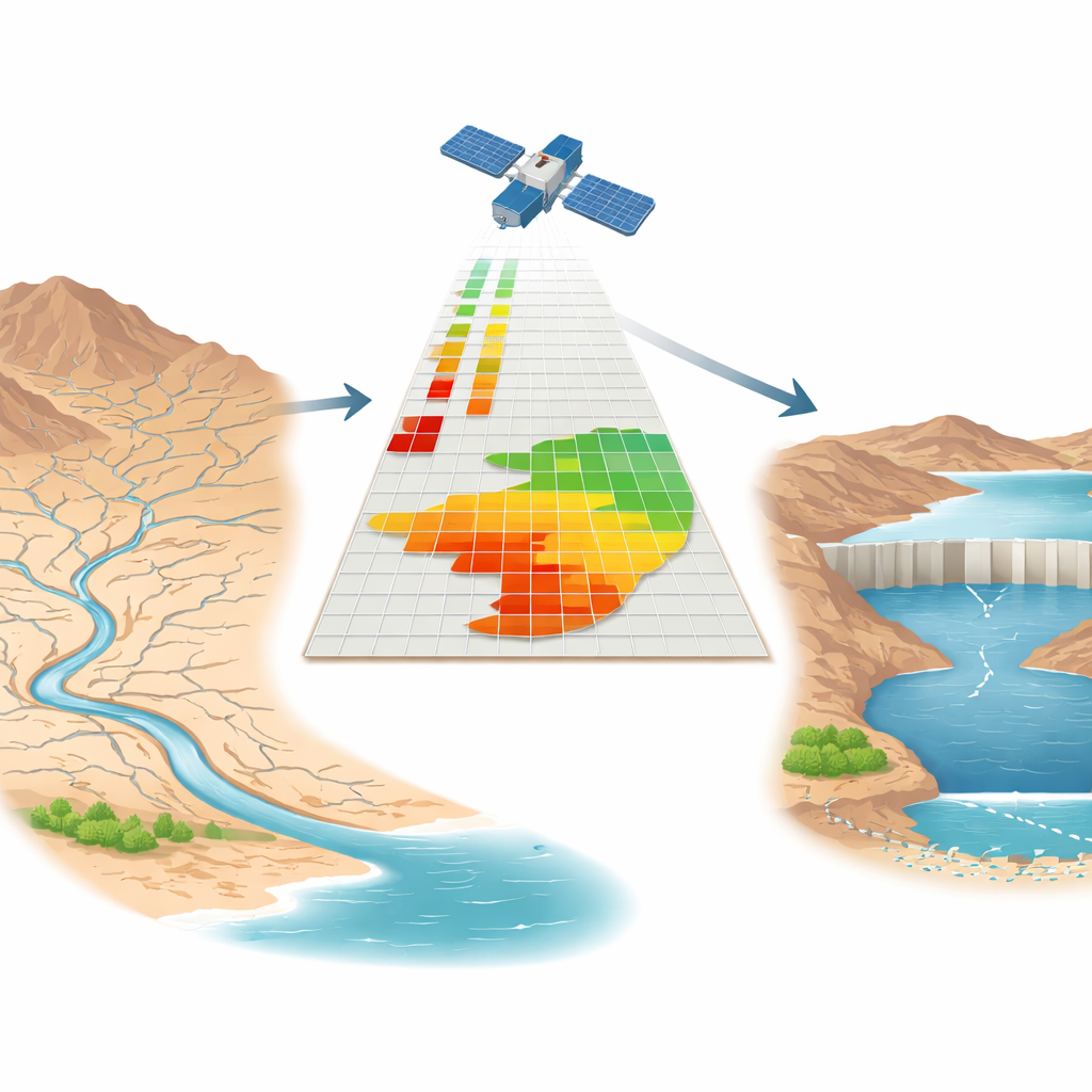
In Egypt’s Eastern Desert, rain is rare—but when it comes, it can arrive in short, violent bursts that send walls of water racing down dry valleys, or wadis. These flash floods threaten new towns, roads, and power lines along the Red Sea coast while precious freshwater simply rushes into the sea. This study asks a practical question with global relevance: can we use satellite images and digital maps to predict where these floods will hit hardest, and where small dams could safely capture the water, reduce damage, and refill underground reserves?
Reading the landscape from space
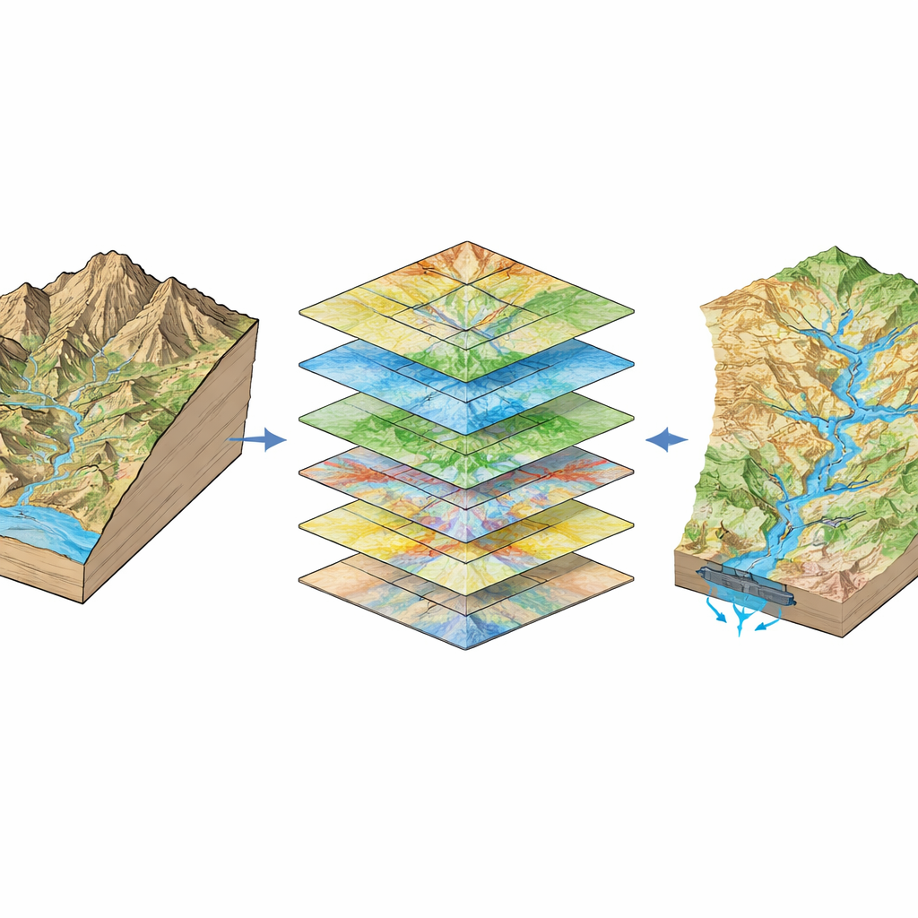
The researchers focused on Wadi Araba, a 2,800‑square‑kilometer basin wedged between the Northern and Southern Galala Plateaus along the Gulf of Suez. Here, steep rock walls, stepped plateaus, and loose gravel plains form a complex maze of channels. Instead of relying on long flood records—which hardly exist in such remote, dry regions—they turned to remote sensing and geographic information systems (GIS). Satellite‑derived elevation models showed how the ground slopes and where water would naturally flow. Other imagery and global datasets revealed land cover (such as bare rock, farms, or buildings), rainfall patterns over the past decade, density of stream channels, fracture zones in the bedrock, and the locations of roads and main watercourses.
Weighing what matters for floods
To turn this stack of maps into a clear picture of danger, the team used a structured decision method called the Analytical Hierarchy Process. In simple terms, they asked: which factors matter most for flash floods here, and how do they compare? Gentle slopes and certain land‑cover types were judged especially important, because flat valley floors collect and hold fast‑moving water spilling down from the plateaus, while bare or paved surfaces shed water rather than soaking it up. Rainfall amount, how closely packed the channels are, and the presence of fractures and roads all add or reduce risk. Each factor was given a numerical weight and broken into classes from low to high concern. The weighted layers were then combined to produce a flood‑susceptibility map and tested against known flood‑affected locations.
Where the danger—and opportunity—lies
The resulting map divides Wadi Araba into three broad zones. Most of the basin—about 2,355 square kilometers—falls into a moderate‑risk category, mainly in low‑lying trunk valleys and downstream basins where flows gather. Roughly 1,671 square kilometers in the western uplands show low susceptibility, where higher ground and fewer converging channels reduce the threat. Only about half a square kilometer registers as high risk, concentrated near the steep southern Galala escarpment, where sudden shifts from sharp slopes to flatter ground can cause water to pile up. Although the model’s accuracy for flood danger is described as medium, it is clearly better than random and offers a practical first screening tool for planners in a data‑poor region.
Picking the best spots for dams
Using a similar weighting approach, the researchers then searched for dam sites that could both slow floods and enhance groundwater recharge. This time they added soil type, rock hardness, a moisture index, and distance to roads—since dams must sit on solid ground, intercept strong flows, store water efficiently, and remain accessible. Out of the entire basin, only about 0.12 percent emerged as highly suitable. Three locations in the central part of the wadi stood out, where major streams converge and valley cross‑sections are narrow enough for cost‑effective structures. The top‑ranked site could theoretically hold around 31.6 million cubic meters of water, far more than the other two, with a valley shape that favors stability and smaller construction volumes. While the authors stress that full engineering studies are still needed, this short list dramatically narrows where detailed fieldwork should focus.
From space‑borne maps to safer, wetter deserts
In everyday terms, this work shows how carefully combined satellite data can help desert countries decide where floods are most likely to cause harm and where small earth dams will do the most good. For Wadi Araba, it points to a few strategic valleys where new dams could blunt the force of flash floods, protect roads and new cities, and nudge more of each rare storm’s water underground instead of losing it to the sea. The approach is transparent, repeatable, and realistic about its limits, making it a promising blueprint for other dry regions that must plan for both climate extremes and growing water demand with little on‑the‑ground data.
Citation: Mesallam, M.A., Salem, Z.E., Al Temamy, A.M. et al. Strategic dam site selection and hazard mapping using remote sensing: insights from Wadi Araba, Egypt. Sci Rep 16, 9683 (2026). https://doi.org/10.1038/s41598-026-39883-9
Keywords: flash floods, remote sensing, dam site selection, Egypt Eastern Desert, water resource planning