Clear Sky Science · en
Investigating the impacts of climate and land use/cover changes on the Oueme Delta hydrosystem in Benin, West Africa
Why this river delta matters
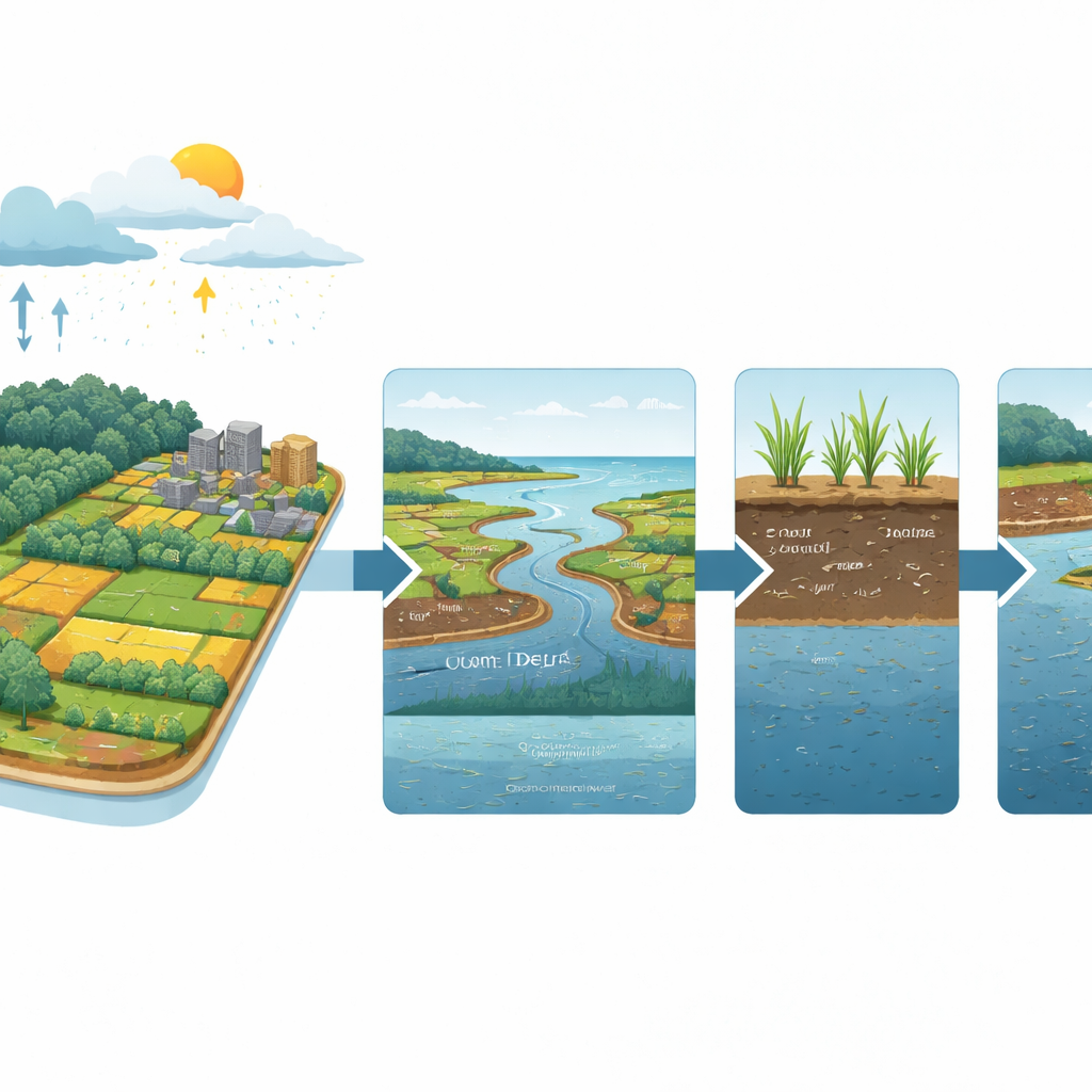
The Oueme Delta in southern Benin is a low-lying wetland that feeds farms, cities, and fisheries while buffering floods from West Africa’s largest coastal river. Yet the region is being squeezed from two sides: a warming, shifting climate and rapid expansion of farms and towns. This study asks a simple but urgent question: how will these twin pressures reshape the water that people depend on—rain that runs off as floods, water stored in soils for crops, and groundwater that keeps wells flowing through the dry season?
Looking under the surface
Because field measurements in the delta are scarce and flooding makes new gauges hard to install, the researchers relied on a sophisticated computer model called ParFlow-CLM. This model tracks how water moves from the atmosphere through vegetation and soil into rivers and underground layers. The team fed it detailed maps of land use from 1975, 2000, and 2013, along with climate records and modern reanalyses that reconstruct past weather. They then compared the model’s daily estimates of key water flows—such as evaporation from land and plants, surface runoff, groundwater level, and soil moisture—to independent satellite-based climate datasets to test its realism.
Testing today’s changing climate
The first set of experiments held land use constant while letting climate vary from the mid-1970s to the early 2010s. Over this period, southern Benin warmed and rainfall patterns shifted. The model reproduced the region’s two rainy seasons and showed that when rains increase, both surface runoff and evaporation rise noticeably. Groundwater levels responded as well, coming closer to the surface during wetter months in earlier decades and sitting deeper in more recent, warmer years. These results echo observations from across West Africa: changes in rainfall and temperature strongly shape when and how much water flows through rivers and underground stores, with the Oueme Delta proving especially sensitive.
Land changes that quietly add up
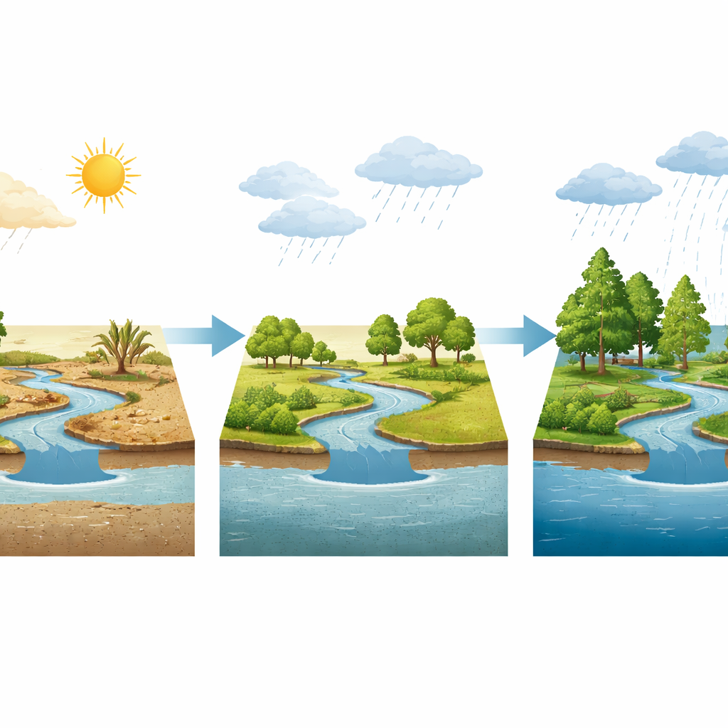
Next, the team fixed the climate and swapped in land maps from 1975, 2000, and 2013 to isolate the effect of farms and cities expanding into forest. Over these decades, forest cover in the delta shrank by about 20 percent while agriculture and residential areas grew. Surprisingly, the model suggests that this level of forest loss has only a modest effect on total annual runoff, soil moisture, and groundwater, although differences emerge during the core rainy months of July to September. In those months, newer landscapes with less forest show slightly lower groundwater recharge and shallower water tables in some locations, hinting that the delta’s flat terrain, shallow aquifers, and still-dominant savanna cover may buffer it against moderate land clearing—at least for now.
Peering into future extremes
To explore what might happen later this century, the researchers combined climate projections with plausible future land maps and several “what-if” extremes. In a dry, hot scenario with 50 percent less rain, higher temperatures, and widespread clearing, the model points to much deeper groundwater, sharply reduced surface runoff, and a drop in soil water content of nearly four percentage points. Such conditions would mean stressed crops, shrinking wetlands, and growing competition for already limited water. At the other end of the scale, a wet, cooler scenario with more than 50 percent extra rainfall and extensive reforestation produces the opposite picture: doubled runoff, wetter soils, and a rising water table that could raise the risk of prolonged, damaging floods. Even in more moderate futures, evaporation claims a growing share of rainfall, leaving less water “left over” for people and ecosystems.
What it all means for people and policy
Taken together, the simulations reveal that climate shifts are the main driver of change in the Oueme Delta’s water system, while land use change tends to amplify or soften those impacts rather than control them outright. In an already crowded region that holds roughly a third of Benin’s population, that combination could bring either chronic water shortages or repeated flooding, depending on how global emissions and local land policies evolve. The authors argue that planners need to treat surface water, groundwater, forests, farms, and cities as one connected system—using reforestation, careful siting of dams and irrigation schemes, and better monitoring—to keep the delta both productive and livable in a rapidly changing climate.
Citation: Bodjrènou, R., Sintondji, L.O., Soudé, M.K. et al. Investigating the impacts of climate and land use/cover changes on the Oueme Delta hydrosystem in Benin, West Africa. Sci Rep 16, 8534 (2026). https://doi.org/10.1038/s41598-026-39679-x
Keywords: Oueme Delta, climate change, land use, water resources, West Africa