Clear Sky Science · en
Prediction of landslide susceptibility through ANN models optimized by evolutionary algorithms
Why mapping unstable hillsides matters
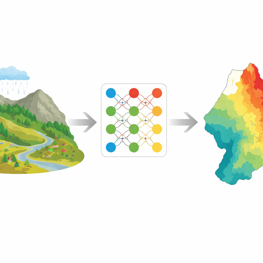
Landslides can turn a quiet hillside into a deadly torrent of rock and mud in seconds. As roads, towns, and farms expand into steep terrain, knowing which slopes are most likely to fail becomes essential for saving lives and money. This study explores how modern computer “learning” methods can turn scattered observations of past landslides and environmental conditions into detailed maps that pinpoint where future slides are most likely to occur.
Reading the landscape’s hidden warning signs
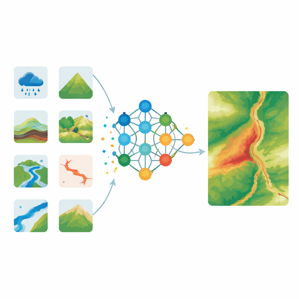
The researchers focused on East Azerbaijan Province in northwestern Iran, a largely mountainous region where landslides are common and growing populations and infrastructure are increasingly at risk. They assembled a detailed picture of the landscape using 16 different ingredients that influence slope stability. These included natural features such as elevation, slope steepness, rainfall, soil and rock types, vegetation cover, and how rough or smooth the terrain is, as well as human-related factors like distance to roads and rivers. Using satellite images, digital elevation models, and long-term rainfall records, they converted this raw information into uniform map layers and built a landslide inventory: locations where landslides had already occurred and nearby places where slopes had remained stable.
Teaching computers to recognize risky slopes
To learn patterns hidden in this complex mix of data, the team used artificial neural networks—computer models inspired by the way brain cells process information. These networks take many inputs, pass them through several internal layers of simple mathematical units, and produce an output: in this case, how likely it is that a given spot on the map is prone to landslides. The scientists experimented with different network depths and numbers of internal units, looking for a structure that could capture the non‑linear relationships between many factors without becoming so complicated that it simply memorized the training data. They found that a deeper network with several hidden layers struck the best balance between flexibility and reliability.
Letting evolution fine‑tune the models
Rather than adjusting the network by hand, the authors turned to so‑called evolutionary algorithms—search methods that mimic natural processes such as gravity, animal behavior, and the interaction of multiple universes. Four different optimization strategies were tested: a black hole–inspired method, a cuckoo‑nest strategy, a multiverse optimizer, and a vortex‑like search. Each one repeatedly tweaked the network’s internal settings and evaluated how well it separated known landslide locations from stable areas. Over many cycles, these algorithms “evolved” versions of the neural network that produced smaller errors and more consistent predictions than a standard, non‑optimized network.
From numbers to practical risk maps
Using these tuned models, the team generated landslide susceptibility maps that classify every part of East Azerbaijan into five levels ranging from very low to very high risk. The resulting patterns made geographic sense: clusters of high and very high susceptibility appeared mainly in the northern, central, and southeastern parts of the province, where steep slopes, heavier rainfall, and certain land uses coincide. Regions in the west and far southeast tended to fall into the low or very low categories. Among the four hybrid models, the multiverse‑based neural network was the most accurate and stable, achieving success rates above 80 percent and near‑perfect scores on standard tests of classification performance.
What this means for people living below steep slopes
For non‑specialists, the key message is that combining smart computer learning with ideas borrowed from nature can provide highly detailed, trustworthy maps of where landslides are most likely to strike. These maps can guide where to build roads and homes, where to reinforce existing slopes, and where to focus early‑warning systems and emergency planning. While the study is rooted in one province of Iran, the framework—carefully selecting environmental factors, training neural networks, and sharpening them with evolutionary search—can be adapted to other mountainous regions around the world. In short, the work shows that digital tools can turn decades of scattered observations into practical, cost‑effective guidance for reducing landslide disasters.
Citation: Cifci, M.A., Hu, X., Öney, B. et al. Prediction of landslide susceptibility through ANN models optimized by evolutionary algorithms. Sci Rep 16, 9471 (2026). https://doi.org/10.1038/s41598-026-39458-8
Keywords: landslide susceptibility, artificial neural networks, evolutionary algorithms, hazard mapping, disaster risk reduction