Clear Sky Science · en
A study on the characterization methods of ecological water requirements in rivers in the Southern plain Region, China
Why River Water Levels Matter to Everyday Life
Rivers and lakes do far more than decorate the landscape: they supply drinking water, support farming, buffer floods, and host rich webs of plants and animals. In China’s southern plains, these waters flow so slowly that it is hard to track how much water is really moving through them. This study asks a deceptively simple question with big implications for water management: instead of trying to measure how much water flows past each second, can we use the easier‑to‑measure water level as a reliable guide to whether rivers have enough water to stay healthy?
Slow Rivers on a Flat Landscape
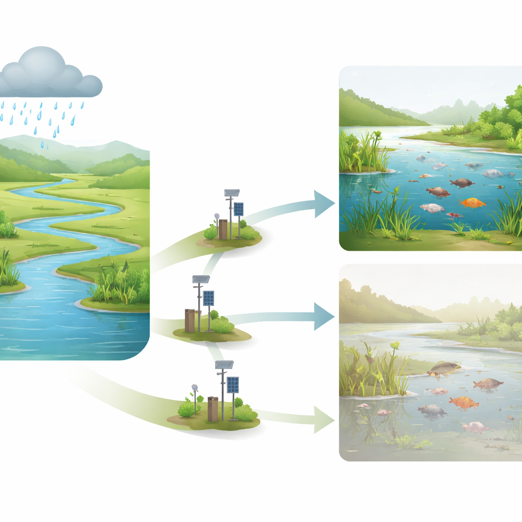
The research focuses on Suqian City in northern Jiangsu Province, a flat region stitched together by a dense network of rivers that ultimately feed Hongze Lake, one of the province’s largest freshwater lakes. In such plains, water tends to move sluggishly, with modest day‑to‑day changes in water level except during the summer flood season. Because direct measurements of river flow are sparse and technically demanding, managers typically rely on water level records, which are long‑term and continuous. The authors selected three key hydrological stations—Jinsuozhen, Sihong, and Shuanggou—whose river stretches strongly influence Hongze Lake’s water balance and ecological condition. The central challenge was to show, with evidence, that water level can stand in for the more complex idea of “ecological flow,” the amount and timing of water a river needs to maintain a thriving ecosystem.
Following the Rhythm of Rain and Rivers
To understand how climate and rivers interact, the team first examined the link between rainfall and water level. Using statistical tools, they found a clear positive relationship: wetter years bring higher average river levels, and the model describing this link fits the data well. They then probed deeper into the natural rhythm of the system with wavelet analysis, a technique that reveals repeating cycles over time. Both rainfall and river levels showed strong swings on roughly 12‑year cycles, with rainfall changes tending to come before changes in water level. This shared rhythm suggests that, in this region, river behavior is closely tied to climate patterns rather than being dominated by human interference or one‑off engineering projects.
Checking for Disturbances in the River Pulse
Next, the authors asked whether human activities or infrastructure had seriously disturbed the rivers’ normal ups and downs. They used three independent tests to detect years when the water‑level patterns changed abruptly, then split each station’s data into “before” and “after” periods. For each period they calculated dozens of indicators capturing monthly levels, flood peaks, low‑water spells, and how quickly levels rise or fall. Three different methods were used to gauge how much these indicators changed overall. Across all stations, most indicators showed only small shifts, and the combined alteration scores fell into the “low” category at two stations and only barely into “moderate” at the third. A separate ecological index, which condenses these shifts into a single score of ecosystem disturbance, also stayed in the low‑to‑medium range. Together, these findings point to a river system that, so far, has remained relatively stable and resilient.
Translating Science into Practical Water Levels
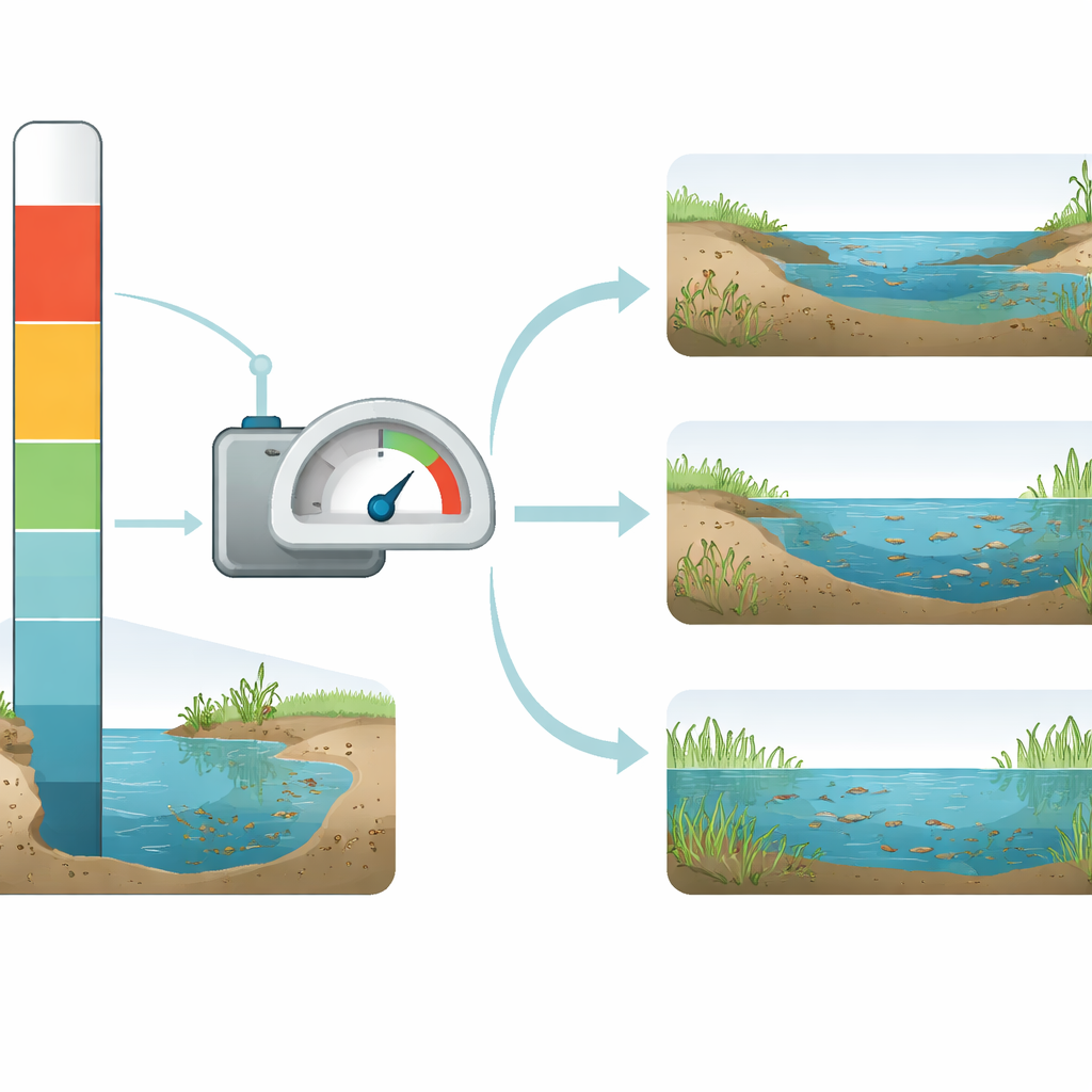
Building on this stability, the researchers set out to define concrete “ecological water levels” for each month of the year. They treated the pre‑disturbance period as a reference for natural behavior and used the central band of historical monthly water levels as the desirable range. These bands act as target zones rather than razor‑thin limits, recognizing that some variation is natural and even beneficial. They then checked whether current, post‑disturbance levels at each station fall within these ecological bands often enough, and evaluated the results with a widely used rule‑of‑thumb known as the Tennant method. The ratios showed that the chosen ecological water levels are at or near the optimal condition throughout the year at all three stations, meaning that, on average, the rivers still hold enough water to support healthy habitats for plants and animals.
What This Means for Rivers and People
The study concludes that in the flat, slow‑moving rivers of China’s southern plains, well‑chosen ecological water levels can reliably represent ecological water needs and effectively replace the harder‑to‑measure ecological flow. Because water levels are easy to monitor and to control with existing dams and gates, this approach gives local authorities a practical lever for safeguarding river health and planning ecological restoration. While the authors note that future work should add information about water quality and aquatic life, and should adapt thresholds as climate shifts, their results provide a robust scientific foundation: keeping water levels within defined seasonal bands can help ensure that rivers and lakes continue to deliver clean water, flood protection, and vibrant ecosystems for the people who depend on them.
Citation: Li, Y., Fang, H. A study on the characterization methods of ecological water requirements in rivers in the Southern plain Region, China. Sci Rep 16, 8333 (2026). https://doi.org/10.1038/s41598-026-39374-x
Keywords: ecological water level, river ecosystem health, southern China plains, hydrological alteration, environmental flow