Clear Sky Science · en
Consensus land-cover mapping improves grassland classification in European mountain landscapes
Why Mountain Meadows Matter
High mountain grasslands in the Alps and Carpathians are more than pretty views—they are biodiversity hotspots, grazing areas, and buffers against climate change. To protect these places, scientists and policymakers rely on digital maps made from satellites that show where forests, fields, towns, and meadows are. But what happens when different global maps disagree sharply on how much grassland there is and where it lies? This study asks whether combining several existing maps into a single “consensus” view can give a clearer, more trustworthy picture of Europe’s mountain meadows.
Many Maps, Many Different Stories
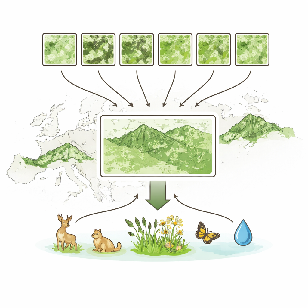
In recent years, several satellite-based land-cover maps have become available at very fine detail, showing features down to about the size of a small house. Six such products—created by organizations like Google, the European Space Agency, and others—already cover the Alps and Carpathians. All use similar satellite images, but they are based on different training data and classification methods. When the authors compared them, they found wide disagreements: some global maps showed only about half as much grassland as others, and they often placed grasslands at different elevations and on different types of slopes. For users trying to model species habitats, plan conservation, or assess ecosystem services, this inconsistency makes it unclear which map to trust.
Building a Shared Picture from Conflicting Views
Rather than picking a single “best” product, the researchers explored three ways to fuse all six maps into consensus versions. One method let each map “vote” on the correct class at every point, with votes weighted by how well each map had performed in earlier tests. A second method went further by rewarding combinations of classes that tended to be right while penalizing combinations that often led to confusion. The third and most advanced approach treated the six maps as inputs to an ensemble machine-learning model, which learned, from thousands of precisely interpreted reference points, when each map could be trusted for grassland and when it was likely to be wrong.
Putting the Maps to the Test
To judge performance, the team assembled an independent set of nearly 3,000 reference locations across both mountain ranges. Experts visually inspected recent high-resolution imagery at each point and agreed on the true land cover. Comparing all products against this benchmark showed that the original maps ranged widely in overall accuracy, and were especially uneven for grasslands. Some global products consistently missed mountain meadows, while others tended to lump too much area into that class. By contrast, all three consensus approaches improved things, and the ensemble model performed best: it reached about 90–92% overall accuracy and pushed both “user” and “producer” accuracy for grasslands above 84%, outperforming any single input dataset.

Grasslands That Match the Mountains
Beyond raw accuracy, the consensus maps produced grassland patterns that better matched what ecologists expect in real landscapes. They captured grasslands across full elevation ranges—from lowland pastures to high alpine meadows—and produced more realistic contrasts between the Alps, with their steep, rugged slopes, and the generally gentler Carpathians. Measures of patch shape and fragmentation also looked more plausible: instead of unrealistically huge, smooth blocks or overly chopped-up speckles of grassland, the consensus result showed coherent but finely grained mosaics similar to those seen in satellite images and field studies. By averaging over the blind spots of individual products, the consensus maps preserved key environmental gradients while damping out extremes and outliers.
What This Means for Nature and Policy
For non-specialists, the takeaway is straightforward: when it comes to mapping delicate mountain meadows, no single global product gets everything right, but carefully combining several of them can come remarkably close. The study demonstrates that consensus land-cover maps built from multiple sources and methods give a more accurate and ecologically sensible view of where grasslands are and how they are arranged in the landscape. This makes downstream analyses—from wildlife habitat modelling to assessments of landscape connectivity and land-use intensity—more reliable. As better satellite data and field observations become available, such integrative approaches offer a robust path toward the detailed, trustworthy maps needed to guide conservation and land-use decisions in Europe’s iconic mountain regions.
Citation: Opravil, Š., Baumann, M., Goga, T. et al. Consensus land-cover mapping improves grassland classification in European mountain landscapes. Sci Rep 16, 8077 (2026). https://doi.org/10.1038/s41598-026-39197-w
Keywords: grassland mapping, satellite land cover, Alps and Carpathians, mountain biodiversity, consensus datasets