Clear Sky Science · en
Land surface phenometrics and their responses to climatic variables in the semi-arid rangelands of the central Zagros mountains
Why this mountain grassland story matters
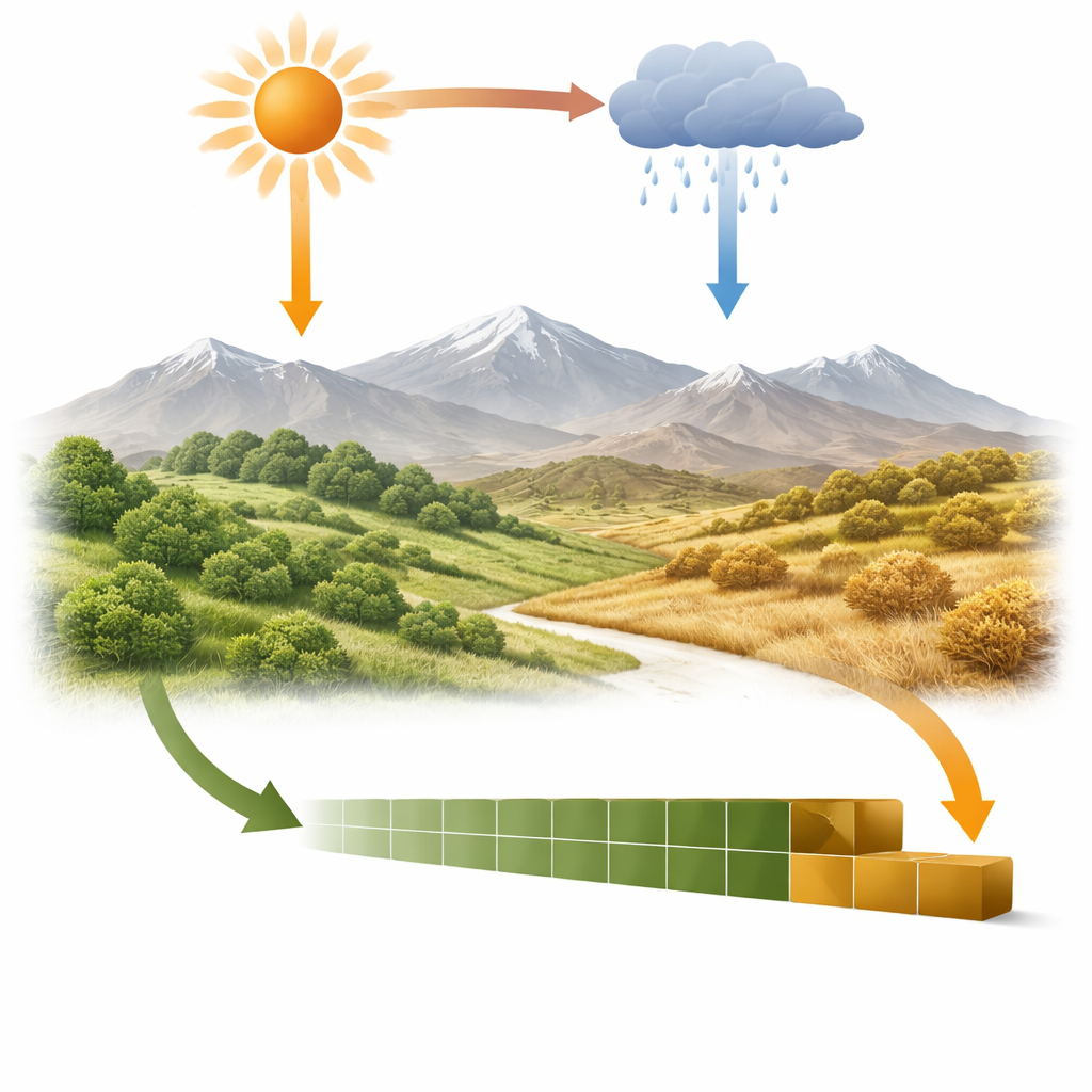
Across the world, plants are quietly shifting their calendars in response to a warming climate. In the semi-arid rangelands of Iran’s central Zagros Mountains—home to rich biodiversity and vital grazing lands—these changes can determine how much food is available for livestock and wildlife, and for how long each year. This study uses more than two decades of satellite observations to track when the land turns green and when it dries out, revealing how rising temperatures and shifting rainfall are reshaping the rhythm of life in these fragile highland pastures.
Watching green waves from space
Instead of following individual plants, the researchers studied the landscape as a whole through “land surface phenology,” the seasonal pattern of greening and browning seen from satellites. Using a long-term record from NASA’s MODIS sensor between 2000 and 2023, they measured when the growing season starts, when vegetation reaches its greenest point, when it ends, how long it lasts, and how intense the peak greenness is. These measures were then compared with detailed maps of elevation and climate—temperature, rainfall, and atmospheric dryness—built from modern weather reanalysis data.
Mountains, climate, and the timing of green-up
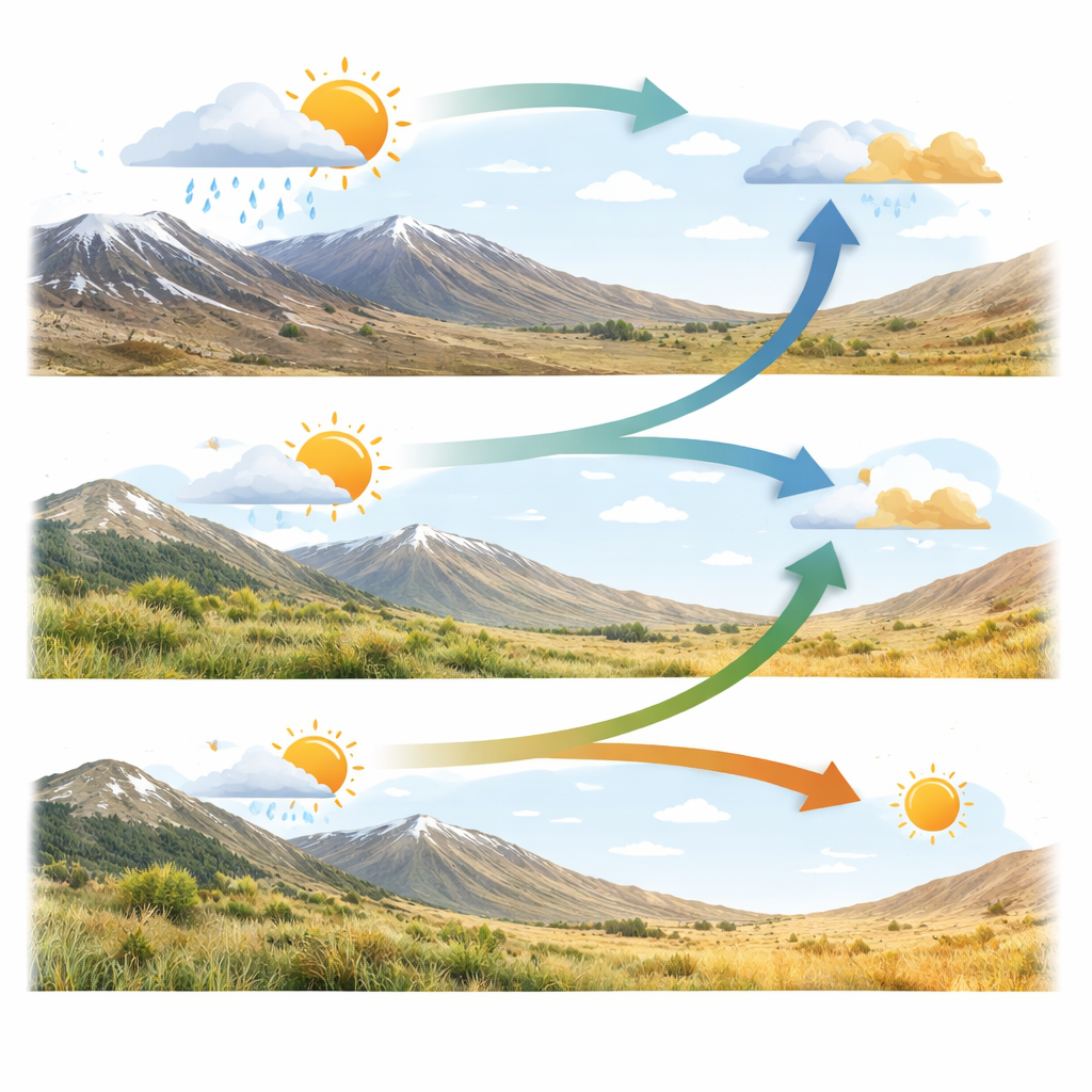
The timing of plant growth in the Zagros rangelands turned out to be strongly shaped by both altitude and local climate. Lower valleys tended to green up earlier in the year and stayed productive longer, while high-elevation slopes, where temperatures are cooler and conditions harsher, showed later spring green-up and shorter seasons. On average, most areas began to green between late winter and early spring and dried out from midsummer to early autumn. Humid and moderate zones and very wet mountain regions showed the widest range of timings, reflecting their complex mix of slopes and microclimates, whereas colder semi-arid and semi-humid zones were more uniform in their seasonal behavior.
Shifting calendars and shorter seasons
Across much of the province, the land’s calendar has shifted noticeably over the past 24 years. Satellite indicators of maximum greenness increased in most rangelands, hinting at denser or more persistent vegetation in many places, sometimes helped by restoration projects and changes in grazing. At the same time, the start, middle, and end of the growing season have moved earlier for a large share of the area. Where both the start and end changed, they did not shift equally: in many pixels the season now begins somewhat earlier but ends even earlier, leading to a shorter total growing period in about 70% of the locations with significant change. These trends are particularly important in semi-arid lands, where even small cuts in growing time can strongly affect forage availability.
How warmth and water steer plant rhythms
By linking plant timing to climate, the study uncovered which weather ingredients matter most. Before the season begins, warmer conditions tended to trigger earlier greening across much of the landscape, while greater pre-season rainfall often delayed it slightly, likely through cooler, wetter soils. A measure related to evaporative demand, which rises as temperatures increase, also pointed toward earlier starts. In contrast, the end of the growing season responded more to conditions during the season itself: hotter growing periods generally pushed plants to dry out sooner, especially at lower elevations, whereas cooler conditions allowed green cover to persist longer. Overall, temperature emerged as the dominant driver of timing shifts, with rainfall and atmospheric dryness playing important but more localized roles.
What this means for people and nature
For herders and land managers in the Zagros, these findings translate into a clear message: the window when rangelands are at their most productive is moving and, in many areas, shrinking. Warming temperatures are speeding up the initial burst of growth but also hastening the summer dry-down, tightening the period when grazing is safest for plants and most beneficial for animals. Recognizing these patterns can help adjust grazing schedules, target restoration efforts, and protect sensitive wildlife that depends on seasonal food and cover. More broadly, the work shows how careful use of satellites can turn vast mountain landscapes into living calendars, offering early warning of how climate change is reshaping the heartbeat of dryland ecosystems.
Citation: Pordel, F., Jafari, R., Esfahani, M.T. et al. Land surface phenometrics and their responses to climatic variables in the semi-arid rangelands of the central Zagros mountains. Sci Rep 16, 7843 (2026). https://doi.org/10.1038/s41598-026-38652-y
Keywords: rangeland phenology, semi-arid ecosystems, climate change impacts, remote sensing NDVI, Zagros Mountains