Clear Sky Science · en
Spatiotemporal dynamics of land use transition impacts on carbon emissions in the pearl river delta
Why city growth and carbon matter to everyday life
As cities boom, they don’t just add buildings and roads—they also reshape farms, forests, and wetlands, and with them, the carbon dioxide our planet absorbs and releases. This study looks at China’s Pearl River Delta, one of the world’s fastest-growing city clusters, to see how changes in land use over the past two decades have driven carbon emissions. Understanding these links helps explain why some regions get locked into high emissions while others manage to grow more cleanly—and what that means for air quality, food security, and climate action that affects us all.
How land changes without always changing what we see
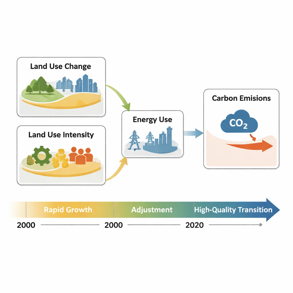
Most of us think of land change as something you can see from a plane window—farmland turning into suburbs, or forests cleared for factories. The researchers call this “explicit” land use transition and track it with detailed land maps for 2000–2020. In the Pearl River Delta, construction land nearly doubled, mainly at the expense of cropland and woodland, especially around the core cities of Guangzhou, Shenzhen, Dongguan, and Foshan. But there is also a quieter, “implicit” transition that doesn’t show up in aerial photos: how intensively land is used through capital investment, technology, industry upgrades, and policy reforms. By building an index that combines factors like fixed-asset investment, jobs, energy use, and the shift toward services, the team shows that this hidden transition advanced rapidly, especially in the innovation-driven core cities.
A three-stage story of growth, adjustment, and quality
The authors find that both visible and hidden land changes in the Pearl River Delta followed three distinct phases. From 2000 to 2010, the region experienced rapid expansion powered by “land finance,” where local governments raised revenue by leasing industrial and urban land. Construction land surged, cropland shrank, and carbon emissions grew quickly as energy-hungry industries clustered in core cities. Between 2010 and 2015, growth slowed and began to adjust: policies such as industrial relocation, renewal of old factory districts, and stricter ecological protection tempered the spread of new construction. From 2015 to 2020, the focus shifted toward higher quality development, with more emphasis on innovation, cleaner industry, and better use of existing land rather than simple outward sprawl.
Carbon emissions rise, then begin to decouple
Over the full 20-year period, total carbon emissions in the Pearl River Delta rose by about 1.6 times, but the pace of increase steadily declined. Core cities remained the main emitters, reflecting the sheer scale of their industry and population, yet they also made the biggest strides in cutting the amount of carbon released per unit of economic output. Using a two-step analytical framework, the study first pinpoints which factors matter most and then maps how their influence shifts across space and time. The results show that the spread of construction land is the single strongest driver of emissions in the early years, while later on, economic density (how much GDP is produced per unit of land) and energy intensity (how much energy is used per unit of land) become equally important, especially where technology and service industries take hold.
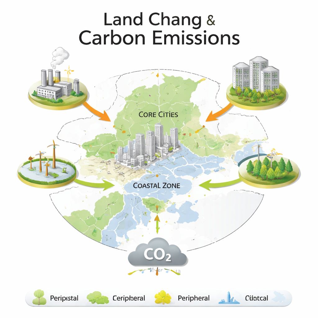
A patchwork of city cores, coasts, and hinterlands
The picture is far from uniform. In core cities, dense construction land and high economic output create a powerful loop of growth and emissions—but also the greatest potential for low-carbon innovation. Peripheral inland cities, which received many relocated factories, saw emissions jump sharply and remained more dependent on older, high-carbon industries. Coastal cities such as Zhuhai and Zhongshan stood somewhere in between, mixing ports and heavy industry with experiments in cleaner energy and multifunctional land, like combining fish farming with solar power. Across the region, the study finds that the “invisible” side of land use—investment choices, industrial structure, and land rights reform—can either lock in pollution or open the door to greener paths, even when the land cover on the ground looks similar.
What this means for cleaner city clusters
For non-specialists, the takeaway is straightforward: how we use land, and how intensively we use it, strongly shapes regional carbon footprints. Simply limiting city sprawl is not enough; policies must also steer investment, industry, and technology so that the same piece of land supports more value with less energy and fewer emissions. The Pearl River Delta’s experience suggests that core megacities can begin to separate economic growth from carbon growth through smarter land redevelopment and innovation, while surrounding areas need safeguards to avoid becoming “pollution havens” for relocated industry. Together, explicit land planning and implicit shifts in how land is managed provide a powerful toolkit for megacity regions seeking to grow prosperity while moving toward carbon neutrality.
Citation: Wang, W., Zhang, Y., Hu, Y. et al. Spatiotemporal dynamics of land use transition impacts on carbon emissions in the pearl river delta. Sci Rep 16, 7607 (2026). https://doi.org/10.1038/s41598-026-38176-5
Keywords: land use change, carbon emissions, urbanization, Pearl River Delta, low-carbon development