Clear Sky Science · en
Land spatial optimization in ecologically fragile regions of the Lanzhou Xining urban agglomeration based on a multidimensional ecosystem framework
Why this fragile region matters
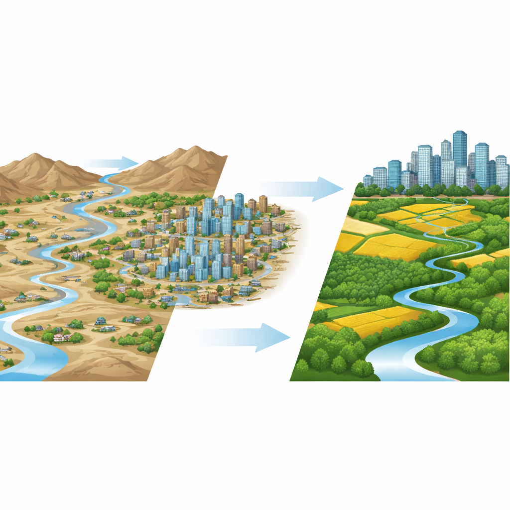
Along the upper reaches of the Yellow River in northwestern China, a chain of cities from Lanzhou to Xining has grown rapidly in a landscape that is dry, mountainous, and easily damaged. This study asks a pressing question with global relevance: how can we expand cities, build roads, and grow economies in such fragile places without breaking the natural systems that supply water, clean air, fertile soil, and climate regulation? Using a new way to look at ecosystems from several angles at once, the authors show where nature is coping, where it is breaking down, and how land can be planned more wisely.
A new way to read the health of nature
Instead of judging the environment with a single score, the researchers use a four-part lens they call structure, resilience, activity, and services. Structure looks at how patches of forest, grassland, farms, and cities are arranged on the land—whether habitats are connected or broken into tiny fragments. Resilience captures how well ecosystems can resist shocks such as development or drought and then recover. Activity focuses on the vigor of vegetation, measured from space using satellite images of plant greenness. Services reflect what nature does for people, such as storing carbon and providing good habitat for wildlife. By mapping these four aspects every 3 kilometers across the region, and repeating the process for 2005, 2010, 2015, and 2020, the team can see where these dimensions move together and where they pull apart.
Gains, losses, and a shifting center of strength
The results paint a mixed picture. Overall, the vegetation in the Lanzhou–Xining urban agglomeration has become more vigorous, and ecosystems in many places bounce back from disturbance more easily than before. Large-scale restoration programs and natural regrowth have expanded areas with very high resilience and activity. At the same time, the underlying structure of the landscape has worsened in many urban and industrial zones: construction land has grown to about one‑and‑a‑half times its former area, carving habitats into smaller pieces and weakening their stability. Nature’s services, such as carbon storage and habitat quality, have improved in some places but remain modest and even decline in others, especially where development is most intense. Stronger ecosystems are now most often found in central hills and mountain slopes with good vegetation and river networks, while low scores cluster around city cores, industrial belts, and fast-growing suburbs.
How human and natural forces push the system
To understand what drives these patterns, the authors examine both natural settings and human pressures. Steep terrain and dense river networks tend to support better coordination among the four ecosystem dimensions, likely because they favor rich habitats and limit heavy construction. In contrast, rapid land urbanization and certain forms of economic growth erode that coordination, particularly in flat, easily built-up areas. Population and roads have more nuanced roles: in some city centers, better infrastructure and management help offset damage, but in many outer zones more people and roads mean more land consumption and stress on already thin ecological margins. Overall, the study finds that the degree to which the four dimensions move in step has gradually improved since 2005, shifting from a pattern of stronger coordination in the east to a "high in the middle, low on the edges" configuration, yet with clear trouble spots that remain stubbornly out of balance.
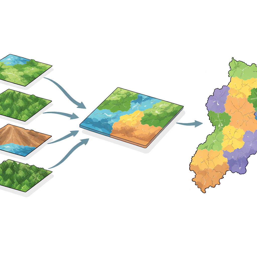
From single-purpose land to multi-purpose landscapes
Looking beyond average scores, the team classifies each grid cell by the role it mainly plays in the broader ecosystem. Some areas are dominated by one strength—strong structure, or resilience, or plant activity, or services—while others combine two, three, or even all four. Over 15 years, the share of land with only one dominant function shrank, and land with several overlapping strengths grew. By 2020, a new class of "comprehensive high‑functionality clusters" had emerged over about six percent of the region, where structure, resilience, activity, and services are all strong together. These areas, mostly in mountain and hilly belts, act as ecological keystones and deserve the strictest protection. The authors argue that recognizing and zoning land according to these dominant roles can guide where to conserve, where to restore, and where development can be accommodated with the least harm.
What this means for people and planning
For non-specialists, the main message is that fragile regions like Lanzhou–Xining cannot be managed with simple green-versus-gray maps. Nature there is a layered system: how land is arranged, how tough it is, how lively its vegetation is, and what benefits it delivers to people may not change in lockstep. This study offers a practical, data-rich way to see those layers together and to sort landscapes into zones that call for different policies—from strict ecological reserves to carefully managed urban growth areas. Done well, such multidimensional planning can turn a patchwork of stressed cities and damaged hillsides into a more resilient network of human communities and ecosystems that support each other rather than compete.
Citation: Yu, T., Wang, M., Li, X. et al. Land spatial optimization in ecologically fragile regions of the Lanzhou Xining urban agglomeration based on a multidimensional ecosystem framework. Sci Rep 16, 8533 (2026). https://doi.org/10.1038/s41598-026-38134-1
Keywords: ecosystem resilience, urban expansion, land use planning, Yellow River Basin, spatial zoning