Clear Sky Science · en
Water vapor transport observed at a coastal Mediterranean site during the summer of 2021 and compared with ERA5
Why summer air over the Mediterranean matters
The summer of 2021 brought record heat, dry soils, and destructive floods to parts of Europe. Behind these extremes lies a simple ingredient: water vapor, the invisible gas that powers storms and traps heat. This study zooms in on a coastal site in southern Italy to watch how moist air flowed over the Mediterranean during that remarkable season, and tests how well a leading global weather dataset, known as ERA5, captured what really happened in the sky.
Watching invisible rivers in the sky
Researchers deployed a dense set of instruments at Soverato, a small town on the Ionian coast of southern Italy, from late June to the end of September 2021. A microwave profiler continuously measured how much water vapor was present at different heights, while laser and radar systems tracked clouds. These tools allowed the team to follow the vertical structure of moisture in the atmosphere above the site, not just at the ground. They found that, throughout much of the summer, an unusually moist layer repeatedly formed several kilometers above the surface, even when skies looked mostly clear from the ground. 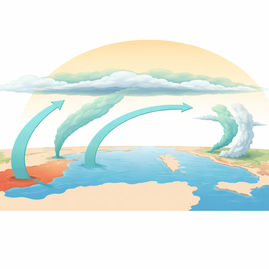
Comparing real air to a digital atmosphere
To see how well our best global reconstructions match reality, the observations were compared to ERA5, a popular atmospheric reanalysis that blends weather models with a huge archive of measurements. ERA5 did a good job of reproducing the broad weather patterns that steered air masses around Europe. However, in the crucial mid-level band between roughly 450 and 650 hPa (around 4 to 6 kilometers up), ERA5 was consistently too dry, by as much as 3 grams of water per kilogram of air compared to the microwave profiler. Additional comparisons with high-quality balloon launches from other Italian stations confirmed that this dry tendency is not unique to Soverato, although its size varies from place to place.
Moist air without many clouds
Despite the frequent presence of moist air aloft, ground-based cloud sensors showed that truly overcast conditions were rare over Soverato in summer 2021. A persistent zone of high pressure over southeastern Europe, together with shallow layers of turbulent mixing near the surface, tended to suppress the deep rising motion needed to build tall clouds and heavy rain. Calculations of standard instability measures from ERA5 supported this picture: energy for strong thunderstorms was only intermittently high, and often limited by layers that resisted vertical motion. In this environment, ERA5 tended to overestimate the occurrence of low and middle clouds, revealing how models can struggle to represent warm clouds and weak convection in coastal, mountainous terrain.
Tracing where the moisture came from
To understand the origin of the moist mid-level air, the team analyzed “integrated vapor transport,” essentially the strength and direction of invisible water-vapor flows from the ground up to about 9 kilometers. They found that moisture reaching southern Italy during key episodes came from a blend of sources: long-distance transport from the Atlantic Ocean, strong evaporation over the Mediterranean itself (particularly the Tyrrhenian Sea and Gulf of Lion), and inflows from North Africa. By running trajectory calculations that follow air parcels forward and backward in time, the study showed that, on certain days in July, moist air observed over Soverato was swept northward along the flank of a low-pressure system toward central Europe. This pathway is consistent with independent analyses of the devastating floods that struck western Germany in mid-July 2021, suggesting Soverato lay along one of the “feeder routes” of moisture feeding that disaster. 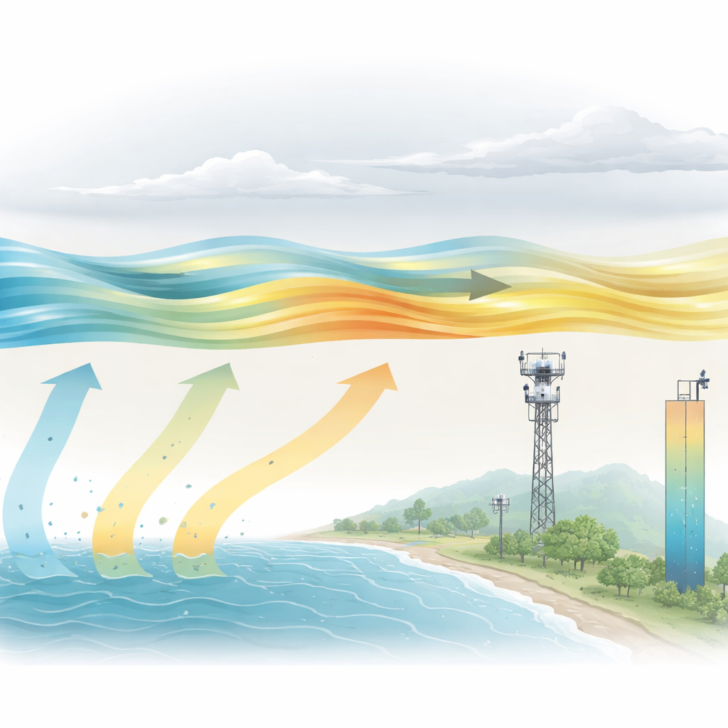
What this means for weather and climate
For non-specialists, the key message is that accurately tracking water vapor high above our heads is essential both for daily weather forecasts and for long-term climate assessments. This study shows that even a state-of-the-art global product like ERA5 can miss significant amounts of moisture in critical layers, especially over complex coastal regions like the Mediterranean. Those biases can ripple through to errors in cloud formation, rainfall prediction, and estimates of how much heat is trapped in the atmosphere. The findings highlight the value of specialized ground-based instruments and carefully calibrated balloon networks to “truth-check” global models. Better coverage of such measurements, combined with improved model physics and data assimilation, will be vital for predicting future extreme rain and heat events in a warming world.
Citation: Madonna, F., Gandolfi, I., Essa, Y.H. et al. Water vapor transport observed at a coastal Mediterranean site during the summer of 2021 and compared with ERA5. Sci Rep 16, 9105 (2026). https://doi.org/10.1038/s41598-026-36040-0
Keywords: Mediterranean climate, water vapor transport, extreme weather, atmospheric observations, reanalysis models