Clear Sky Science · en
Network accessibility as the emergence of cliques
Why getting around cities is more than just maps
When we judge a metro system, we tend to look at how many lines it has or how fast the trains run. But what most travellers actually care about is simpler: how many places can I reach within a reasonable time? This paper introduces a new way to look at that question, treating public transport as a living network and watching how well-connected “clusters” of stations emerge as we allow more travel time. The result is a fresh lens on which cities give their residents truly convenient access, and how planners might redesign systems to get closer to that ideal.
From stations and lines to a network of reachable places
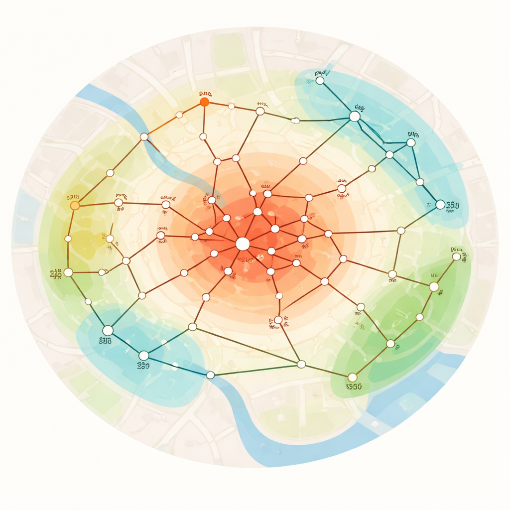
The authors start by redefining accessibility in terms of reachability. Instead of focusing on individual trips, they build what they call an access graph: a map where every pair of metro stops is linked if you can travel between them within a chosen time limit. Travel time here is not just minutes on the train; it also includes waiting for trains and penalties for changing lines, so it reflects how passengers actually experience the network. As the allowed time gradually increases from zero upwards, the access graph grows from almost empty into a fully connected web, revealing which parts of the city become mutually reachable early and which remain isolated until much later.
Looking for tightly knit groups in the network
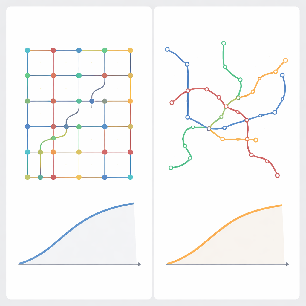
Within this evolving access graph, the study focuses on two types of well-connected groups. The first is the maximal clique, where every station in the group can reach every other within the time limit. This is the strictest notion of connectedness and represents a kind of “all-to-all” accessible core. The second is the k-core, a slightly looser structure where every station has at least a set number of neighbours within reach. By choosing k so that 25%, 50% or 75% of the network must be reachable, the authors can ask: when does a quarter, half, or most of the system become mutually accessible? Watching how the size of these groups grows with time gives a dynamic picture of how accessibility unfolds across a city.
Comparing real metros to an ideal world
To compare cities fairly, the researchers create an idealised version of each metro system. They keep the real locations of stations but imagine that every pair of stops is connected by a direct, fast, frequent service along a straight line. This sets a realistic upper limit on how good accessibility could be, given geography and reasonable speeds. For each of 42 metro networks worldwide, they then compare how quickly cliques and cores grow in the real network versus this ideal one. Where the real curves follow the ideal curves closely, the network is judged highly accessible; where they lag, passengers pay in extra time, detours and waits.
What we learn from 42 metro systems
The analysis reveals surprisingly consistent patterns across cities, suggesting that certain accessibility behaviours are universal. Still, there are clear winners and losers. London, San Francisco, Valencia, Bilbao and Dubai stand out as having especially high accessibility, with large well-connected regions forming relatively quickly as travel time increases. At the other end, Buenos Aires, Marseille, Philadelphia, Kobe and Oslo show much slower growth of these connected clusters. A key factor behind poor performance is high “circuity” – routes that force passengers to take long detours compared with the straight-line distance. Infrastructure layout matters more than service frequency, although very long waits also hurt. Case-study simulations for Stockholm show that both adding a new cross-cutting line and doubling train frequencies can noticeably boost the size and speed of emerging well-connected cores, and combining both measures yields the strongest improvement.
Why this new view of access matters
For non-specialists, the main message is that accessibility is not just about how many stations exist or how crowded the map looks, but about how quickly large, tightly connected regions of the city come within each rider’s reach. By framing metros as networks where cliques and cores emerge over time, this study offers planners a tool to test ideas before building: they can see whether a new line or more frequent service truly enlarges the “everyone-can-reach-everyone” zone, and how close a city can realistically get to its ideal. In doing so, the work helps turn the popular dream of the 10- or 15-minute city into something that can be measured, compared and deliberately designed.
Citation: Šfiligoj, T., Peperko, A. & Cats, O. Network accessibility as the emergence of cliques. Sci Rep 16, 5089 (2026). https://doi.org/10.1038/s41598-026-35542-1
Keywords: public transport accessibility, metro networks, complex networks, urban mobility, network design