Clear Sky Science · en
Geophysical assessment of seawater intrusion in Apapa-Ajegunle, coastal area of Lagos, Southwestern Nigeria
Why salt in hidden water matters
For millions of people living in coastal cities, underground freshwater is the main source of drinking water. In Lagos, Nigeria’s largest city, that hidden water is under pressure from the sea. When salty seawater creeps into the underground sand layers that store freshwater, wells can quickly become too salty to drink. This study looks beneath the busy Apapa–Ajegunle district of Lagos to find out how far the sea has invaded the local groundwater, and what that means for the communities that depend on it.
A crowded coast with limited fresh water
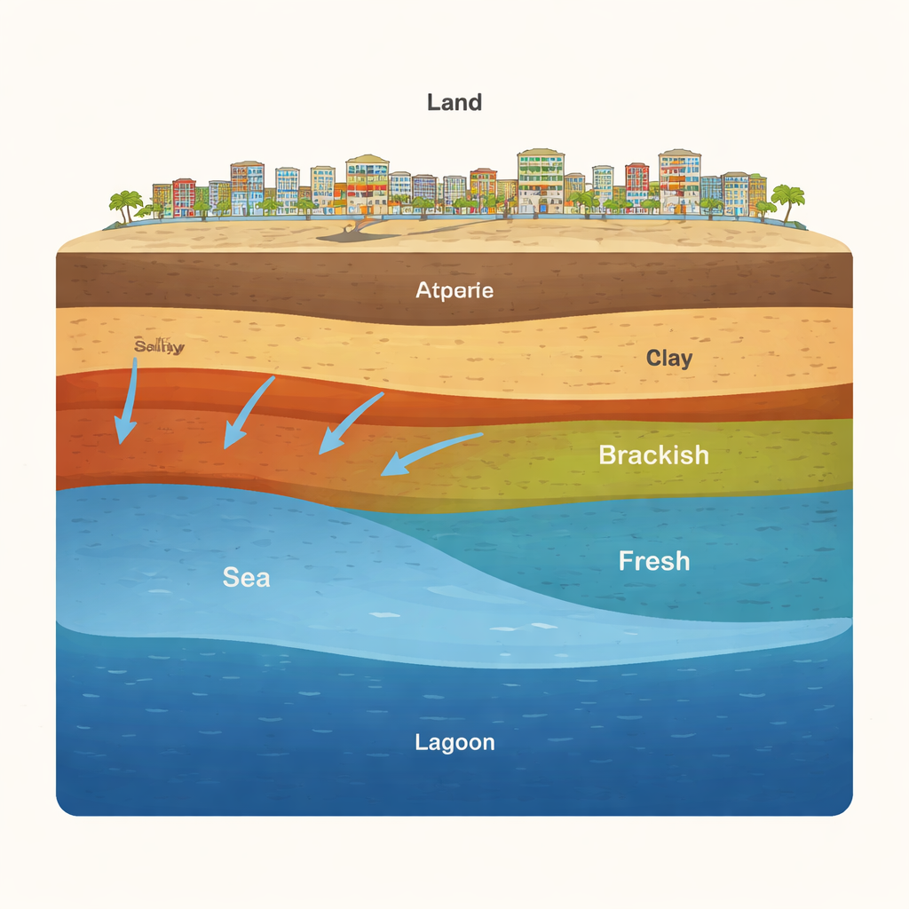
Like many coastal regions worldwide, Lagos packs a huge population into a small strip of land along the ocean, lagoons and creeks. Although the area receives heavy rainfall each year, the low, flat terrain means a lot of rain runs off rather than soaking deep underground. As a result, residents rely heavily on shallow wells drilled into sandy layers beneath the city. In healthy conditions, a “lens” of lighter freshwater floats on top of heavier seawater below. But when groundwater is pumped too hard, or when sea level rises and pollution grows, this delicate balance can be disturbed, allowing saltier water to move inland underground.
Peering underground with electricity
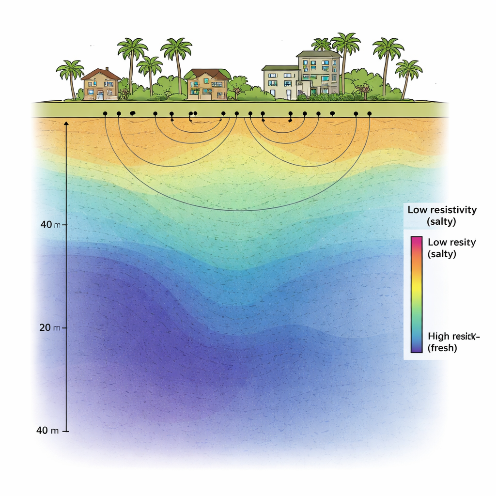
Because the salty and fresh zones lie out of sight, the researchers used electrical methods to “see” into the ground without digging. They carried out 26 Vertical Electrical Sounding (VES) measurements and 14 Electrical Resistivity Tomography (ERT) profiles across Apapa–Ajegunle, supported by rock and soil information from 10 boreholes. These tools pass small electrical currents into the earth and measure how easily they flow. Salty water conducts electricity very well and shows up as low resistivity, while fresher water and dry sand resist the current and appear as higher resistivity. By combining one‑dimensional and two‑dimensional measurements with mapping software, the team reconstructed how salty and fresh water are arranged at depths down to about 40–60 meters.
Where the sea has reached so far
The electrical images revealed four to five distinct underground layers, with resistivity values ranging from extremely low (about 1 ohm‑meter) to very high (above 50,000 ohm‑meters). Near the surface, thin layers of silty soil and clay overlie thicker sand bodies that act as aquifers. In many parts of the southern, eastern and western zones—closest to the lagoon, creeks and canal—the sand layers are strongly affected by seawater. Salty water there appears as very low resistivity zones between about 1 and 11 ohm‑meters, sometimes extending from just 1 meter below ground to depths of 40 meters. Above or beside these pockets, the team found brackish zones and fresher sands, but often the good-quality freshwater was “capped” by saltier layers, making it harder and riskier to tap without mixing the two.
Turning measurements into maps
To move from isolated measurements to a big‑picture view, the researchers stitched the VES profiles together into three‑dimensional fence diagrams and used mapping software to build “iso‑depth” and “iso‑thickness” maps. These show how deep below the surface the saline and freshwater layers lie, and how thick each one is across the district. The maps confirm that salty water is concentrated along the coastal fringes and beneath much of the built‑up area of Apapa–Ajegunle, with preferred underground flow paths from south to north. In contrast, the northern part of the study area appears largely free of saline intrusion in the shallow aquifer, making it more promising for safer groundwater development—at least for now.
Limits, risks and what comes next
The study focused on the shallowest aquifer layers, so it could not confirm whether deeper sand bodies remain untouched by seawater and might serve as long‑term reserves. It also did not include detailed water‑quality sampling over time, which would reveal how salt levels change with seasons or during floods. Still, the work shows that electrical methods, combined with borehole logs and modern mapping tools, offer a powerful way to track the spread of seawater underground. The authors stress that without careful management—limiting pumping, reducing pollution and continuing geophysical monitoring—salty water could push further inland, threatening both household supplies and local ecosystems.
What this means for people in Lagos
In simple terms, this research shows that much of the shallow groundwater under Apapa–Ajegunle is already being invaded by the sea, especially near lagoons and creeks. Freshwater still exists, particularly further north and in deeper sand layers, but it is often overlain or surrounded by saltier water. That makes well drilling more complex and raises the risk that careless pumping will make good water turn bad. By mapping where the salty and fresh zones currently lie, the study provides a scientific foundation for smarter borehole placement, stricter control of groundwater use, and long‑term planning to protect one of Lagos’s most vital but vulnerable resources: its hidden stores of fresh water.
Citation: Oloruntola, M.O., Folorunso, A.F., Ojeyomi, B.A. et al. Geophysical assessment of seawater intrusion in Apapa-Ajegunle, coastal area of Lagos, Southwestern Nigeria. Sci Rep 16, 5498 (2026). https://doi.org/10.1038/s41598-026-35120-5
Keywords: seawater intrusion, groundwater, Lagos Nigeria, electrical resistivity, coastal aquifer