Clear Sky Science · en
Comparing ecological relevance of climate velocity indices
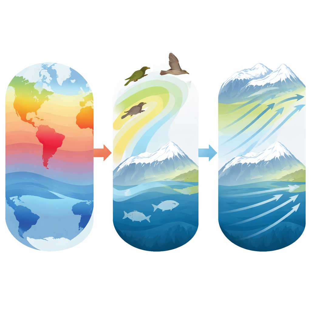
Why moving climates matter for wildlife
As the planet warms, the places that feel like “home” to animals and plants are drifting across the map. Birds, fish, and many other species are already shifting where they live to stay within tolerable temperatures. Conservation planners increasingly rely on “climate velocity” – the speed and direction at which a given climate zone moves – to guess whether species can keep up. This study asks a crucial question: which way of measuring that climate velocity actually lines up with how real species are moving?
Two ways to track a moving climate
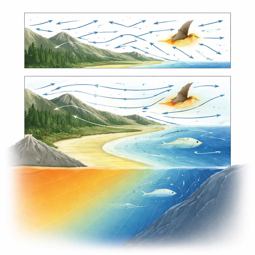
Scientists have a long‑standing, widely used way to estimate climate velocity called the gradient method. It looks at how quickly temperature changes over time at one spot and divides that by how sharply temperature changes across space, producing a speed and a direction. In simple cases, such as evenly spaced bands of winter temperature sliding northward, this works reasonably well. But Earth’s surface is messy: mountains, coastlines, and land‑sea contrasts twist temperature patterns into curves and eddies. In such landscapes the gradient method can point in unrealistic directions and even predict infinite speeds where local temperature differences nearly vanish.
To overcome these problems, the authors use a newer method called MATCH (Monte‑Carlo Iterative Convergence Method). Instead of assuming climate zones slide straight down the steepest temperature slope, MATCH searches for a smooth, continuous pattern of motion that best transforms the earlier temperature map into the later one. It repeatedly nudges a grid of points, keeping only those small shifts that make the past climate field more closely resemble the future one, while penalizing sudden jumps or sharp twists. The end result is a gentle, coherent flow field that describes how each location’s climate has effectively moved over time.
Following birds across a changing continent
The team tested these two climate‑velocity estimates against long‑term records of winter bird counts across North America from the Audubon Christmas Bird Count. For each bird species and decade, they calculated the “center of mass” of the species’ winter range – essentially the average position of all its sightings, weighted by how many individuals were seen. They then measured how fast that center shifted between decades, broken into three components: north–south (latitude), east–west (longitude), and up–down (elevation). For the same areas and time spans, they computed climate velocities from both the gradient and MATCH methods, using winter air temperature as the climate variable.
In western North America, where temperature changes are strong and varied, species’ elevational shifts showed clear links to climate velocity. Birds tended to move uphill or downhill in the same direction as local temperature bands, and those vertical movements lined up better with MATCH estimates than with the gradient method. MATCH produced realistic velocities even where local temperature gradients were weak, while the gradient method often broke down, giving missing or extreme values that had to be set to zero. Latitudinal shifts sometimes matched climate velocity as well, particularly during the rapid warming and climatic “regime shift” of the 1970s–1980s, again with MATCH outperforming the gradient approach. East–west shifts, by contrast, showed little relationship to temperature‑based climate velocity, suggesting that other factors such as rainfall, habitat, or land use dominate in that direction.
Listening to signals from the sea
The researchers carried out a similar analysis for marine species along U.S. coasts, drawing on decades of standardized bottom‑trawl surveys from the NOAA Global Marine Data database. Here, sea surface temperature served as the climate indicator, and species’ range centers were tracked not only horizontally but also with depth. In northern, rapidly warming regions such as Alaska and the Northeast coast, many fish and other marine organisms shifted into deeper, cooler waters or toward higher latitudes. Once again, these depth and latitudinal shifts matched MATCH‑based climate velocities better than gradient‑based ones, with MATCH producing stronger correlations and slopes closer to a one‑to‑one relationship between climate movement and species movement. Longitudinal shifts and regions with limited warming showed much weaker links, underlining that temperature is not the only driver of marine range changes.
Why smooth climate paths fit wildlife better
Across both land and sea, the study finds that climate appears to move faster than species distributions, and the match is far from perfect even in the best cases. Still, wherever a clear relationship exists – especially along elevation and depth, and often in latitude – the MATCH method describes it more faithfully than the traditional gradient approach. The authors suggest that this may be because real populations spread in ways that avoid overcrowding and detours around barriers like mountains, shorelines, or unsuitable habitats. Such collective movements naturally trace smoother, more regular paths than the jagged, locally defined routes implied by pure gradients. By producing a continuous, physically plausible flow of climate zones, MATCH may better approximate the “paths of least cost” that species ensembles actually follow.
What this means for conservation choices
For conservation planners, the message is practical. If you want to know whether birds or fish can keep up with shifting climates – or where to place protected areas and when to consider assisted migration – not all climate‑velocity maps are equally helpful. This work shows that MATCH‑based estimates, especially along the vertical and north–south dimensions, are more closely aligned with observed range shifts than traditional gradient‑based maps. The study also highlights the need to look beyond temperature alone and to consider multiple climate variables, non‑climatic pressures, and different parts of a species’ range. Even so, adopting more realistic measures of how climate itself is moving is a critical step toward predicting which species are most at risk and where conservation efforts can do the most good.
Citation: Moinat, L., Gaponenko, I., Goyette, S. et al. Comparing ecological relevance of climate velocity indices. Sci Rep 16, 8797 (2026). https://doi.org/10.1038/s41598-025-32377-0
Keywords: climate velocity, species range shifts, MATCH method, climate change ecology, conservation planning