Clear Sky Science · en
Aerial image segmentation using multilevel thresholding based on multi strategy Osprey optimization algorithm
Seeing More from the Sky
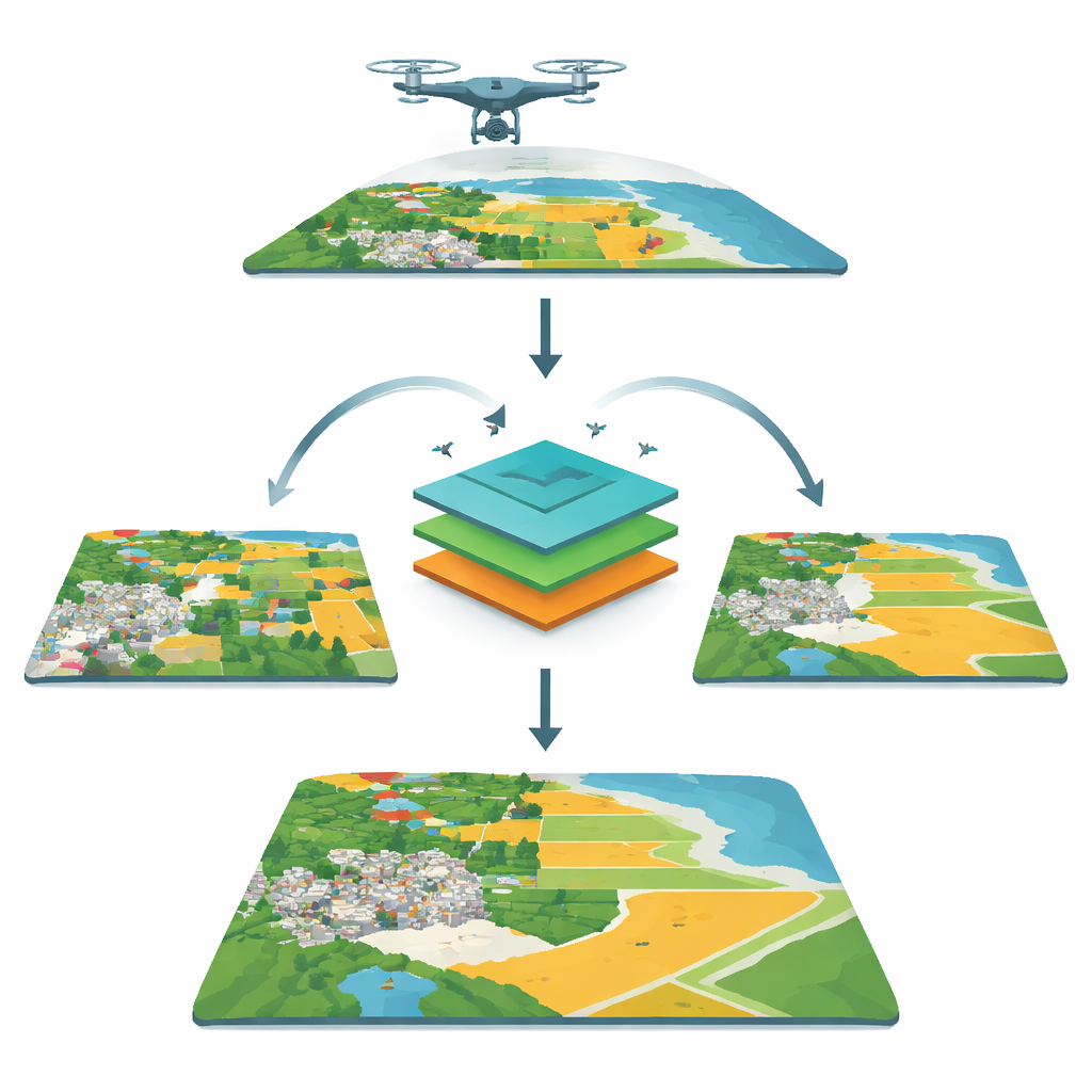
Aerial photographs from planes, drones, and satellites quietly power everyday decisions: where new houses can be built, how fast a wildfire is spreading, or which fields need water. But to turn a jumble of pixels into useful maps, computers must first "understand" what’s in each image. This article introduces a new way to make that understanding faster and more accurate, by teaching an algorithm inspired by the hunting style of ospreys to slice aerial images into meaningful regions.
Why Splitting Pictures Matters
Before an aerial image can guide urban planning or disaster response, it has to be broken into parts: water, buildings, roads, forest, and so on. This step, called segmentation, is like drawing a careful coloring book over the landscape so that each type of area becomes a separate region. One common strategy is “thresholding,” which decides cut‑off values in brightness or color so that pixels on one side of a cutoff belong to one group and the rest to another. For detailed scenes, computers use many cutoffs at once—multilevel thresholding—to carve the image into several layers. Doing this well is tricky, because the computer must search through a huge number of possible cutoffs to find the ones that best separate real‑world features.
Nature-Inspired Hunters in the Computer
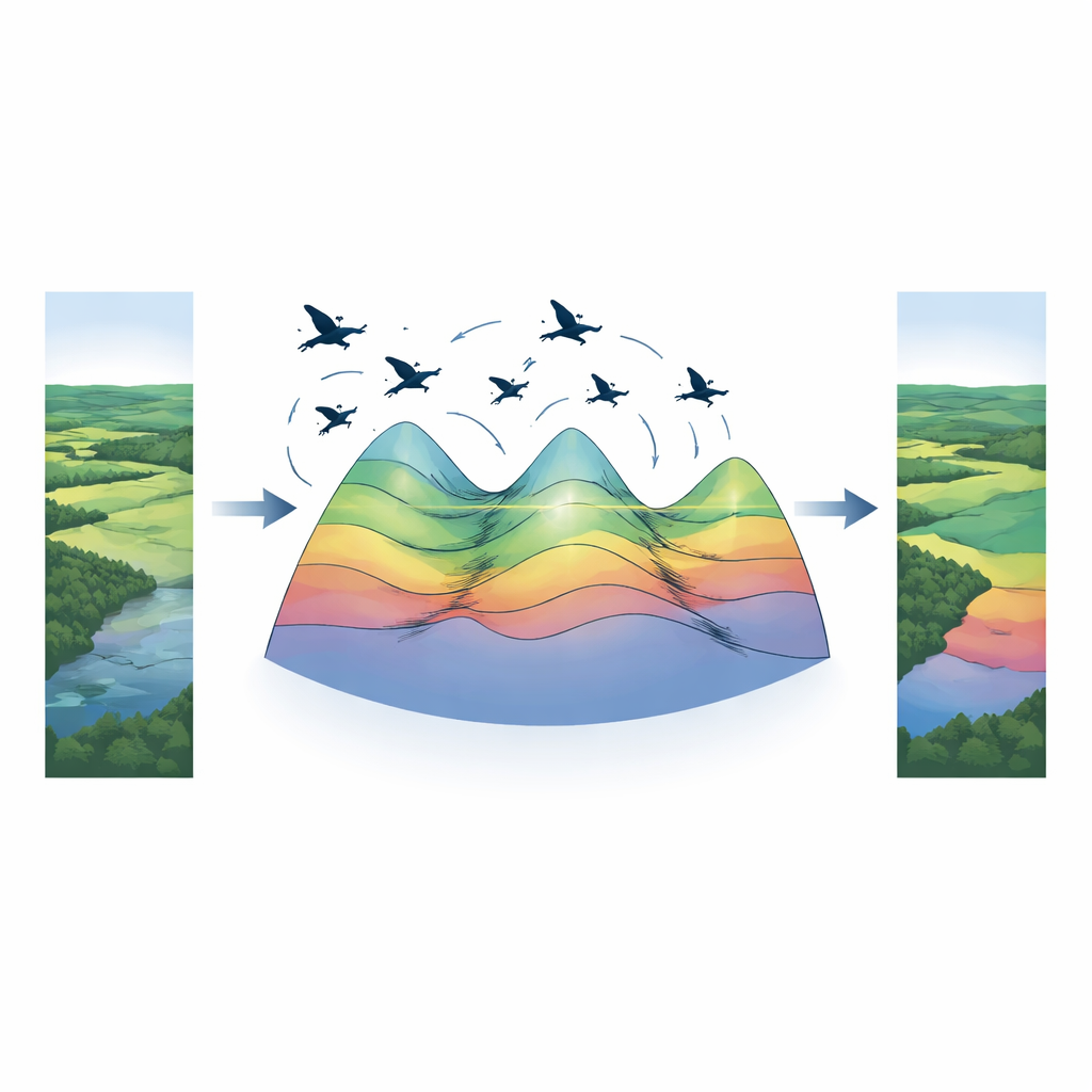
To handle that search, the authors build on a relatively new optimization method modeled on how ospreys hunt fish. In the basic Osprey Optimization Algorithm, each “osprey” is a trial solution—a set of threshold values—flying over a mathematical landscape of possibilities. During exploration, these digital ospreys roam widely, guided by promising “prey” (other good solutions). During exploitation, they make smaller, careful moves near the best locations found so far, trying to refine them. This natural balance helps the method avoid getting stuck on a poor choice of thresholds, but the original version can still settle too early and miss better options.
Adding New Tricks to the Hunt
The authors propose a modified version, MOOA, that gives the virtual ospreys extra strategies. One is a “double attractor” mechanism: instead of being pulled only toward the single best solution, each osprey is guided both by its own personal best and by the global best found by the group. This double pull helps balance bold exploration of new areas with cautious improvement of known good spots. A second addition is a dynamic random search, a kind of local fine‑tuning that occasionally lets ospreys make small, smart nudges around the current best thresholds. Together, these strategies help the swarm explore broadly at first and then zoom in on the most promising sets of cutoffs.
Testing on Real Aerial Scenes
To see whether these tricks pay off, the researchers applied MOOA to sixteen real aerial images from a public dataset, showing coastlines, cities, farmland, and forests at a fixed resolution. For each image, they asked the algorithm to find thresholds under two standard rules—Otsu’s method, which favors strong contrast between groups, and Kapur’s method, which maximizes information content in the pixel distribution. They compared MOOA with several other nature‑inspired optimizers and with the original osprey method at different numbers of segments. Using common quality scores that measure how much detail is preserved and how closely the segmented image resembles the original, MOOA consistently produced crisper, more faithful segmentations. It also achieved strong results while keeping computing time competitive or better than the alternatives.
What This Means for Everyday Uses
In simple terms, the new osprey‑based method is better at deciding where to “draw lines” inside complex aerial scenes. By more reliably choosing the right cutoffs in brightness and color, it yields segmented images that preserve important structures—coastlines, fields, buildings—without adding noise or losing subtle features. That makes follow‑up tasks, such as counting ships, tracking flood extents, or mapping land use, more trustworthy. While the authors note that recognizing tiny objects and further speeding up the code remain open challenges, their results show that carefully tuned, nature‑inspired search strategies can be a powerful and efficient alternative to heavier deep‑learning systems for many kinds of aerial image analysis.
Citation: Abd Elaziz, M., Al-Betar, M.A., Ewees, A.A. et al. Aerial image segmentation using multilevel thresholding based on multi strategy Osprey optimization algorithm. Sci Rep 16, 9095 (2026). https://doi.org/10.1038/s41598-025-07217-w
Keywords: aerial image segmentation, multilevel thresholding, metaheuristic optimization, remote sensing, image analysis