Clear Sky Science · en
Swath bathymetry imagery of fjord-lakes from Québec-Labrador, eastern Canada
Hidden Landscapes Beneath Northern Lakes
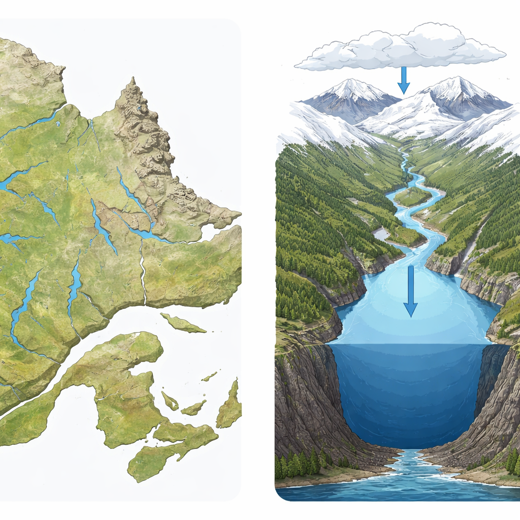
Across Québec and Labrador lie long, deep lakes carved by ancient ice and now holding vast reserves of fresh water. Although these fjord-like lakes help regulate regional climate, support wildlife, and store drinking water and hydropower, their underwater landscapes have until recently been poorly known. This study reveals those hidden worlds using detailed sonar imagery, creating public maps that anyone—from scientists to conservation planners and curious residents—can explore.
Why Lake Shape Matters for Everyday Life
Lakes do far more than store water. Their shape and depth control how water mixes, how long it stays before flowing downstream, where sediment settles, and which habitats are available for fish and other organisms. Steep underwater slopes can be prone to underwater landslides, while deep basins can trap cold, oxygen-poor water. In Canada, which holds about a fifth of the world’s freshwater, understanding these features is critical for managing drinking water supplies, hydropower reservoirs, and the health of aquatic ecosystems under pressure from climate change and human activity.
From Coarse Sketches to High-Definition Lake Floors
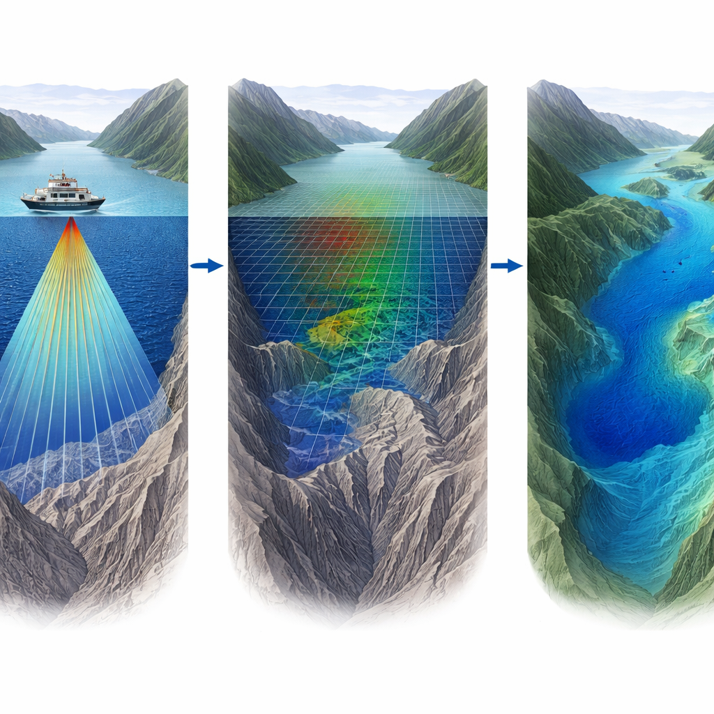
Traditional lake maps often rely on single echo soundings taken along a few lines and then filled in by interpolation or by guessing from the surrounding land topography. This approach leaves large gaps and smooths over many important details. In this project, the authors used swath bathymetry—systems that send out wide fans of sound waves—to create continuous, high-resolution images of the lake floor. Over eight years, they surveyed nine fjord-lakes in eastern Canada, from Grand Lake in Labrador to several lakes in the Laurentian and Appalachian Mountains of Québec. Together, these water bodies store more than 46,000 million cubic meters of freshwater, and the new data give an unprecedented view of their submerged terrain.
How Scientists "Scan" a Lake Bottom
To build these detailed maps, the team mounted multibeam echosounders and interferometric sonars on survey boats, barges, and even an inflatable craft for the most remote locations. As the vessels crisscrossed the lakes, the instruments fired rapid pulses of sound that bounced off the lake floor and returned to receivers, allowing the distance to the bottom to be calculated. Sensitive motion sensors corrected for the boat’s pitch, roll, and heave, while frequent measurements of sound speed in the water ensured depth estimates were accurate. The raw data were then processed with specialized software to correct for instrument alignment, changing water levels, and other sources of error, and to remove spurious points before being turned into smooth depth grids.
What the New Maps Reveal About These Fjord-Lakes
The resulting imagery shows each lake as a distinct underwater landscape. Grand Lake, a long, narrow basin at the head of Lake Melville, has a flat floor shaped by heavy sediment inflow and disturbed by past slope failures. Lake Manicouagan, flooding a giant impact crater, forms a drowned ring-shaped gorge with deep subbasins and a mid-lake sill; before being dammed it was the deepest known natural lake in northeastern Canada. On the north shore of the St. Lawrence Estuary, lakes Pasteur, Pentecôte, and Walker display multiple deep basins and sills formed by glacial erosion and later uplift of the land. Farther south, lakes Jacques-Cartier, Mékinac, Témiscouata, and Pohénégamook each show their own combination of steep sidewalls, shallow shelves, and ridges left by retreating ice. Many of these features are tied to past glaciers, earthquakes, and underwater landslides, offering clues to the region’s geological history.
An Open Window Into Deep Cold Waters
All of the bathymetric data are freely available through an open repository, allowing researchers, agencies, and local communities to reuse them without restriction. These maps can guide infrastructure planning, help identify underwater hazards, support habitat and biodiversity studies, and serve as a foundation for reconstructing past climate from lake sediments. In simple terms, the authors have turned nine dark, little-known fjord-lakes into clearly mapped three-dimensional basins. By revealing where these lakes are deepest, steepest, and most dynamic, the dataset provides a lasting reference for safeguarding some of eastern Canada’s most important freshwater reserves.
Citation: Chassiot, L., Lajeunesse, P., Normandeau, A. et al. Swath bathymetry imagery of fjord-lakes from Québec-Labrador, eastern Canada. Sci Data 13, 416 (2026). https://doi.org/10.1038/s41597-026-06795-2
Keywords: bathymetry, fjord lakes, freshwater mapping, sonar surveys, Québec Labrador