Clear Sky Science · en
The Glacier Inventory Dataset of the Qilian Mountains for the Period 2018–2019
Why distant mountain ice matters to dry lands
High in the Qilian Mountains of northwestern China, thousands of glaciers quietly store and release water that keeps rivers flowing, fields green, and cities supplied in one of Asia’s driest regions. As the climate warms and these ice reserves shrink, knowing exactly how much glacier ice remains and where it is located becomes essential for planning water use, protecting ecosystems, and preparing for future change. This study delivers a new, detailed map of every modern glacier in the Qilian range as of 2018–2019, giving scientists and planners an updated picture of this critical “frozen reservoir.” 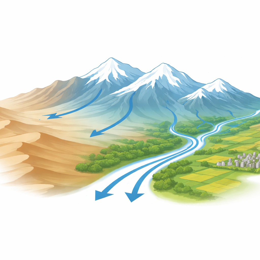
Taking a fresh look at an aging ice inventory
China previously completed two nationwide glacier inventories, roughly around 1970 and 2007. Those efforts were groundbreaking for their time but are now too old to reflect today’s rapidly changing mountain ice. In the Qilian Mountains, glaciers have been retreating and shrinking faster in recent decades, echoing trends seen in high mountain regions worldwide. Because local communities, farms, and industries rely heavily on glacier-fed rivers, outdated glacier maps can mislead water managers and climate planners. The authors set out to rebuild the glacier inventory for this region using recent satellite images and modern geographic tools, creating what they call the Third Glacier Inventory of the Qilian Mountains.
Reading glaciers from space
To chart the glaciers, the team assembled a mosaic of high-resolution satellite images captured between 2018 and 2019 by several Chinese satellites (Gaofen-1, Gaofen-2, Gaofen-6, and Ziyuan-3), supported by Landsat 8 imagery and a detailed digital elevation model. They carefully selected scenes taken on clear summer days, when seasonal snow has melted and cloud cover is minimal, making the true glacier edges easier to see. Using a combination of image processing steps and snow-detection methods, they removed clouds and fresh snow that could confuse glacier outlines. Unlike many modern efforts that rely on automated software, these researchers deliberately chose expert visual mapping: multiple glacier specialists manually traced each glacier boundary, cross-checking one another’s work through several review rounds to reduce personal bias and ensure consistency.
From outlines to a living glacier census
Once the glacier edges were drawn, the authors calculated key traits for every ice body, such as its area, perimeter, average elevation, slope, and the direction it faces. They continued to use an established coding system that links each glacier to its river basin and local drainage network, which helps connect ice changes to downstream water supplies. They also evaluated how precisely different image resolutions capture glacier area, showing that finer-resolution images dramatically reduce mapping uncertainty, especially for small, irregularly shaped glaciers. 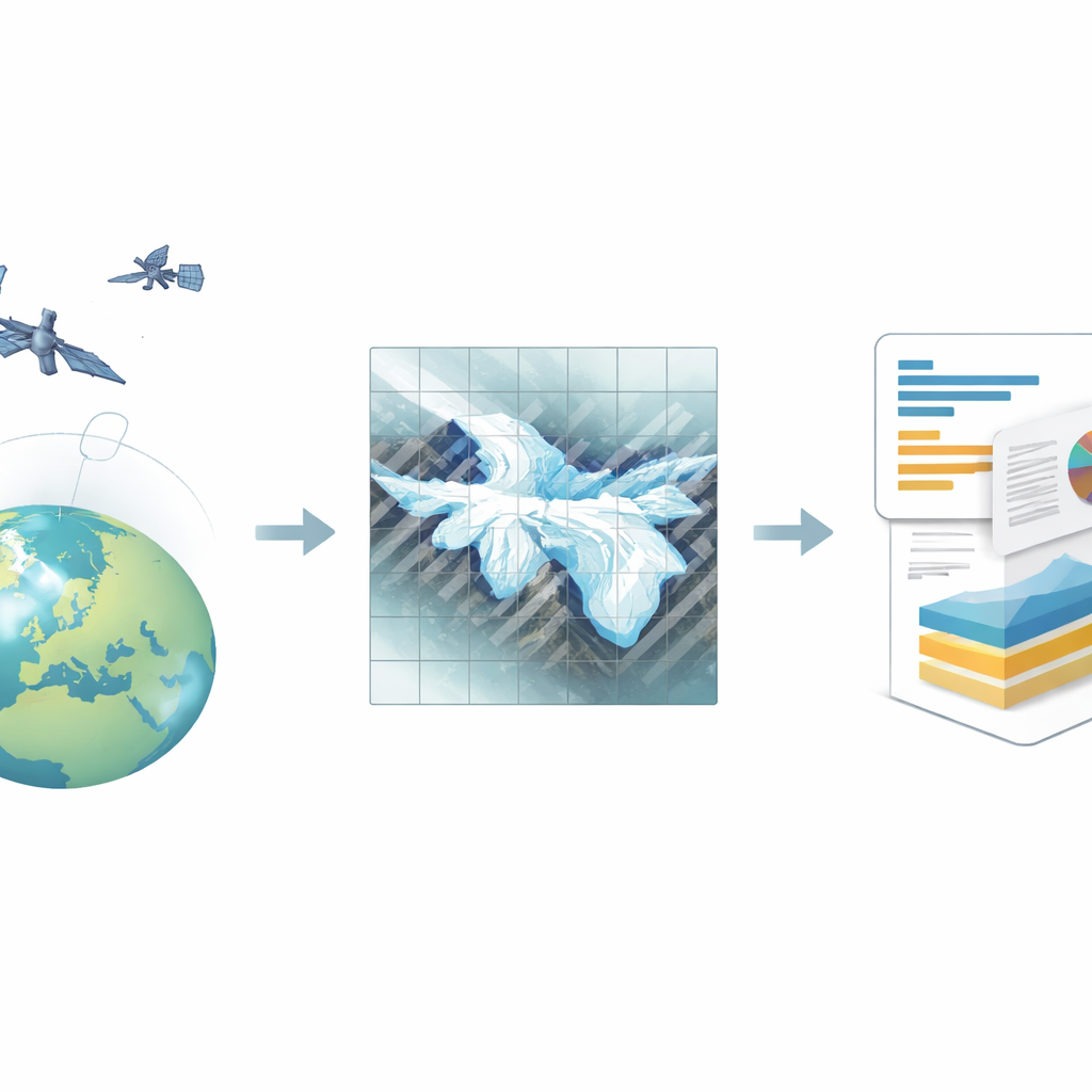
What the new map reveals about Qilian’s ice
The finished dataset identifies 2,797 modern glaciers across the Qilian Mountains, together covering 1,489.53 square kilometers. This ice is far from evenly spread. The Shule River basin alone holds nearly one-third of the total glacier area, including the region’s single giant glacier, Laohugou Glacier No. 12, which exceeds 20 square kilometers. By contrast, the vast majority of glaciers are tiny: more than 40% are smaller than 0.10 square kilometers and together make up just over 3% of total glacier area. Many of the larger glaciers fall in middle-size ranges of a few square kilometers. Most glaciers face north or northwest, where reduced sunlight helps preserve ice, and they tend to sit higher and be steeper in some watersheds than others. Overall, glacier numbers and areas generally decrease from east to west, with northern slopes hosting more and larger glaciers than southern slopes.
Why this new glacier map matters for the future
For non-specialists, it can be tempting to see this work as a technical mapping exercise, but its implications are very practical. In this dry region, glaciers act as natural reservoirs that release water during warm seasons and droughts; as they shrink, that buffering capacity will eventually decline. The new Qilian glacier inventory gives scientists, water managers, and policymakers an up-to-date, high-precision baseline to track how much ice is left, how it is changing, and how those changes differ from one river basin to another. By making the dataset freely available, the authors provide a crucial foundation for future studies of water security, ecosystem health, and climate adaptation across northwestern China and the broader “Asian water tower.”
Citation: Qin, X., Wang, R., Liu, Y. et al. The Glacier Inventory Dataset of the Qilian Mountains for the Period 2018–2019. Sci Data 13, 419 (2026). https://doi.org/10.1038/s41597-026-06782-7
Keywords: Qilian Mountains, glacier inventory, remote sensing, water resources, climate change