Clear Sky Science · en
Global daily 9 km remotely sensed soil moisture (2015–2025) with microwave radiative transfer-guided learning
Why the wetness of the ground matters
How wet or dry the top few centimeters of soil are may seem like a small detail, but it quietly shapes weather, farming, water supplies, and even wildfire risk. Yet it is surprisingly hard to measure soil wetness everywhere on Earth, every day. This study describes a new global dataset that uses satellites and a physics‑aware form of artificial intelligence to track daily soil moisture at high resolution from 2015 to 2025, offering a sharper picture of how water moves through the land surface.
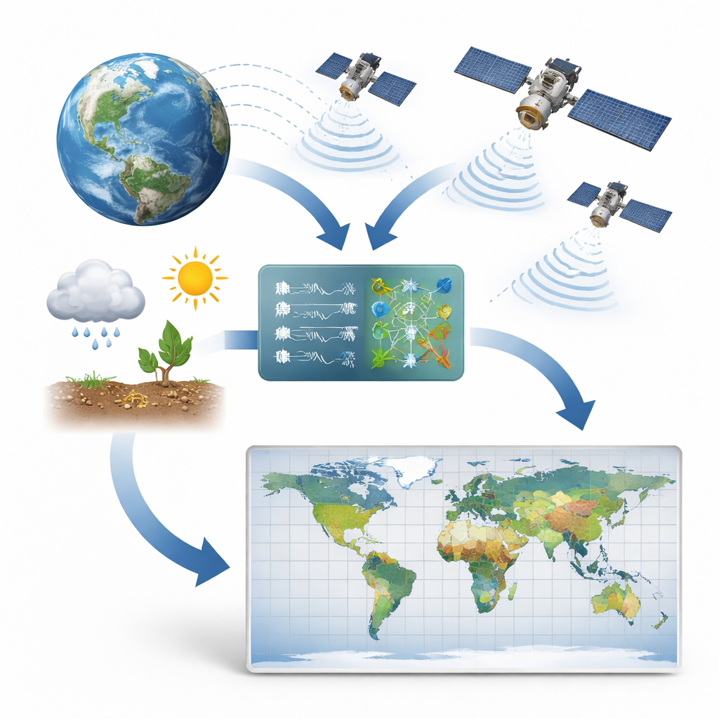
Watching the world’s soil from space
Traditional soil measurements rely on instruments buried in the ground, which are accurate but sparse and expensive to maintain. To fill the gaps, space agencies fly satellites that sense natural microwave signals coming from Earth’s surface. Certain frequencies, especially the so‑called L‑band, are strongly affected by how much water is in the top layer of soil. Missions such as NASA’s SMAP and Europe’s SMOS already turn these signals into global soil moisture maps. However, their estimates become less reliable in places with dense forests, complex terrain, or rapidly changing crops, where vegetation and surface roughness mask or distort the soil signal.
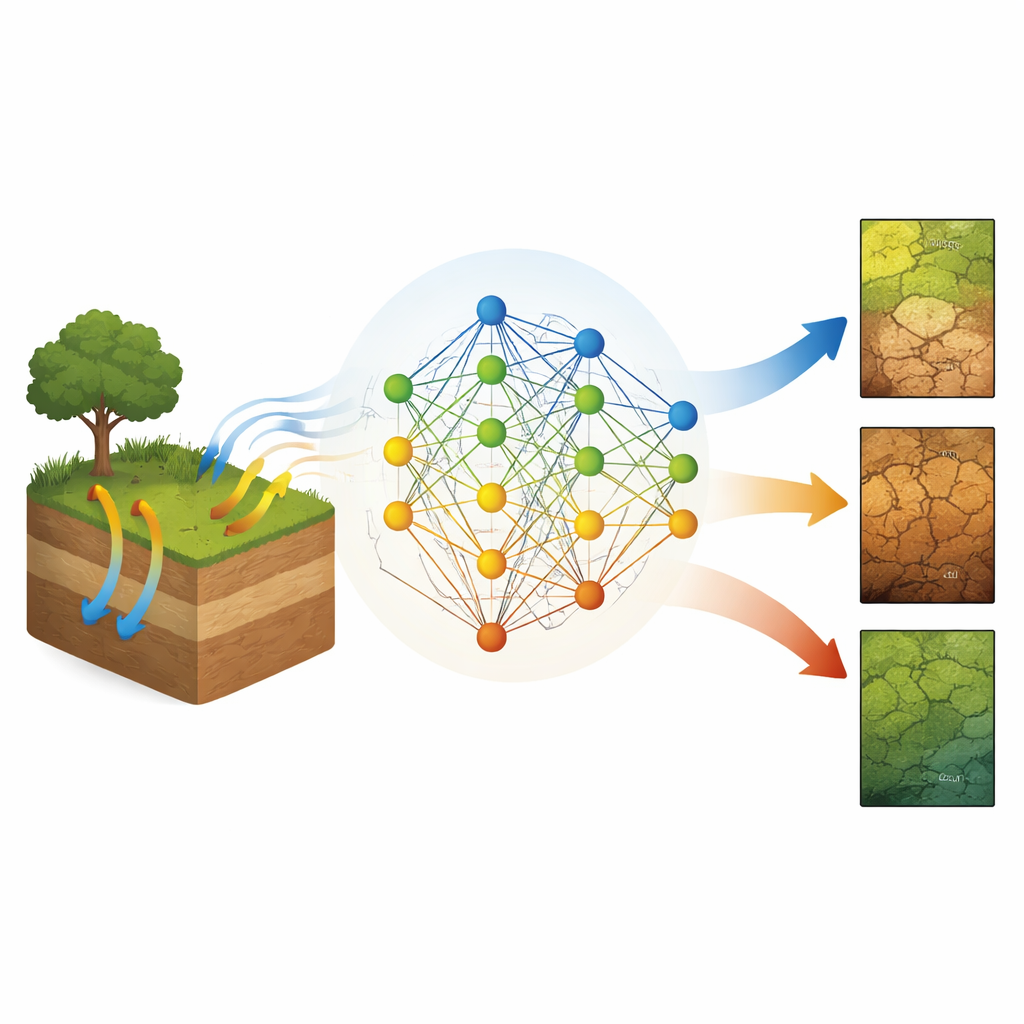
Blending physics and machine learning
The authors tackle these weaknesses using a framework they call process‑guided machine learning. Instead of letting an algorithm learn blindly from data, they build in scientific understanding of how microwaves interact with soil and plants. They first use a well‑established radiative transfer model—the kind already used in satellite retrieval systems—to simulate many combinations of soil moisture, vegetation, soil type, and temperature, and the microwave signals that would result. A neural network is pre‑trained on this synthetic archive so that its internal layers learn patterns that reflect physical cause‑and‑effect, not just statistical coincidence.
Teaching the model with real‑world measurements
In a second step, the team fine‑tunes this pre‑trained network using a large collection of real soil moisture measurements from monitoring networks around the globe, along with actual satellite observations and climate data such as rainfall, evaporation, land cover, and climate zone. They also design a special training objective that rewards the model for matching not only the average level of soil moisture but also its day‑to‑day swings, while gently penalizing impossible values outside the physically allowed range. This staged training allows the model to keep what it learned from basic physics, yet adapt to the quirks and noise of real landscapes and instruments.
Sharper maps and better drought signals
After training, the authors run their model to create a daily global soil moisture record on a roughly 9‑kilometer grid from April 2015 to June 2025. They then test its accuracy in several ways. When compared directly with independent ground measurements, the new product shows a strong match and small errors. In head‑to‑head comparisons with seven leading satellite- and model‑based products, it generally has higher correlation with ground data and lower error, especially in challenging environments like forests and intensively managed croplands. The dataset also reproduces the timing and severity of the severe European drought of 2018, capturing both widespread dryness and the detailed evolution of conditions at individual sites better than a popular multi‑sensor product.
What this new map means for people and the planet
For non‑specialists, the key outcome is a more reliable, day‑by‑day map of how wet or dry the world’s surface soils are, at a scale fine enough to matter for regional water managers, farmers, and climate scientists. By blending satellite observations, ground measurements, and the physics of microwave radiation in a single learning system, the study demonstrates how guided artificial intelligence can turn complex signals into practical environmental information. The resulting decade‑long dataset can support better drought monitoring, crop assessments, and studies of how a warming climate is reshaping the global water cycle, while also pointing the way toward more physics‑savvy uses of machine learning in Earth science.
Citation: Feng, S., Li, A., Zhou, R. et al. Global daily 9 km remotely sensed soil moisture (2015–2025) with microwave radiative transfer-guided learning. Sci Data 13, 435 (2026). https://doi.org/10.1038/s41597-026-06721-6
Keywords: soil moisture, satellite remote sensing, machine learning, drought monitoring, hydroclimate