Clear Sky Science · en
Reconstructing Great Lakes air temperature and ice dynamics data back to 1897
Why Winter on the Great Lakes Matters
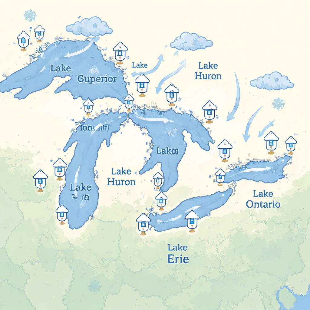
For the tens of millions of people living around the Great Lakes, winter ice is more than a pretty backdrop. Ice cover shapes regional weather, affects how safe it is to travel and play on the lakes, and even determines whether certain fish successfully reproduce. Yet reliable, detailed records of Great Lakes ice only go back a few decades, when satellites first began taking regular images from space. This study reaches much further into the past, rebuilding more than a century of winter conditions to help communities and scientists understand how these giant lakes are changing in a warming climate.
Looking Back Before Satellites
Satellites have carefully tracked Great Lakes ice only since the 1970s, leaving earlier winters largely undocumented except for scattered aircraft surveys and paper charts. In contrast, weather stations around the lakes have been measuring air temperature since the late 1800s. Because ice forms and melts mainly in response to air temperature, the authors realized they could use this long record of daily temperatures to infer how much ice the lakes must have had in the past. They assembled data from 24 coastal locations, filled small gaps using interpolation, and averaged stations around each lake to reconstruct daily mean air temperatures for all five Great Lakes from 1897 to 2023.
Translating Cold Days into Ice
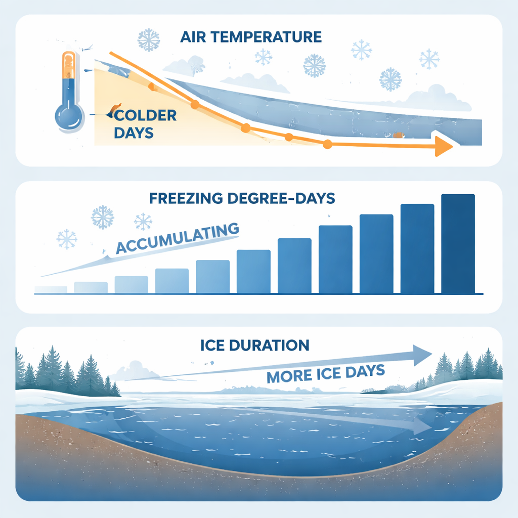
To turn temperature into an indicator of winter harshness, the team used simple but powerful measures based on “degree-days.” They tracked how much and how long temperatures stayed below freezing, called cumulative freezing degree-days, and contrasted this with how many warm days promoted melting, called net melting degree-days. In essence, a string of bitterly cold days stacks up a large freezing score, while milder weather adds to the melting side of the ledger. By comparing these temperature-based scores to modern satellite maps of ice cover and the number of days each lake cell is frozen, the researchers showed that winter-long cold is more closely tied to how many days the lakes stay iced over than to how much of the surface is covered at any one time.
Painting a Historical Map of Ice
Ice does not form evenly across the Great Lakes. Shallow bays often freeze early and stay frozen longer, while deep offshore waters may remain open much of the winter. To capture this patchwork for years before satellites, the authors matched past winters to modern winters with similar freezing-degree totals. They then borrowed the detailed ice-duration maps from those recent “analog” years and averaged them to estimate what a typical historical winter looked like on each lake between 1898 and 1960. This produced new spatial layers showing, for every 1.8-kilometer cell, both the average number of frozen days and how much that number varies from year to year.
Checking the Reliability of the Reconstruction
Because the new dataset will feed into many future studies, the team rigorously tested its reliability. They cross-checked overlapping temperature records from different stations and earlier compilations to correct biases and ensure a smooth, consistent series through time. For the ice maps, they examined how differences in freezing degree-days lined up with differences in ice duration between satellite-era years. Years with similar cold totals tended to show similar ice patterns, supporting their analog approach. Additional statistical tests confirmed that the subset of modern years used to stand in for the historical period produced maps that closely resembled the full satellite record, not just in average values but also in overall spatial patterns.
What This Means for People and Nature
This reconstructed history of Great Lakes winter conditions offers a new window into how the lakes have responded to more than a century of climate swings and long-term warming. By making daily temperature records, winter severity scores, and lake-wide maps of ice duration publicly available, the study gives resource managers and researchers the tools to ask sharper questions: How have habitats for cold-loving fish shifted? When and where has ice been reliably safe for winter recreation? How might future warming reshape winter navigation and lake-effect snowstorms? For non-specialists, the key takeaway is straightforward: by carefully mining old weather records and linking them to modern satellite observations, scientists can now trace how Great Lakes ice has changed since the 1890s, offering a solid baseline for planning in an increasingly unpredictable winter climate.
Citation: King, K., Fujisaki-Manome, A., Brant, C. et al. Reconstructing Great Lakes air temperature and ice dynamics data back to 1897. Sci Data 13, 290 (2026). https://doi.org/10.1038/s41597-026-06637-1
Keywords: Great Lakes ice, winter climate, lake temperature, climate change, aquatic habitat