Clear Sky Science · en
Mapping tipping risks from Antarctic ice basins under global warming
Why this icy story matters to you
The fate of Antarctica’s ice might seem remote, but it is tightly linked to the future of every coastal city, beach, and wetland on Earth. This study asks a simple yet profound question: as the planet warms, does the Antarctic Ice Sheet slowly melt away like an ice cube on a table, or can parts of it suddenly give way, locking in metres of long-term sea-level rise? By mapping where and when different regions of Antarctica are likely to cross critical thresholds, the authors provide a clearer picture of future coastal risks that will affect millions of people over centuries to come.
A giant made of many moving parts
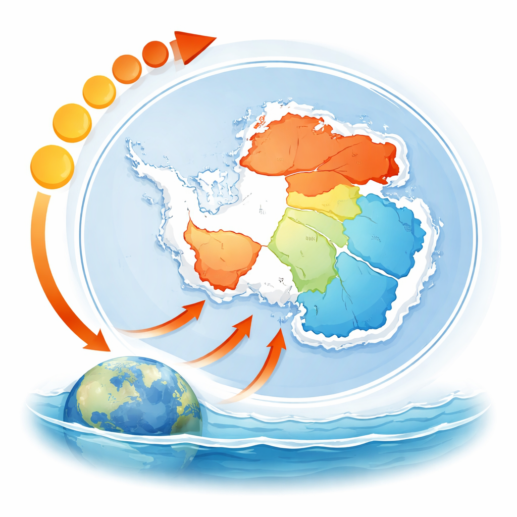
Antarctica holds enough ice to raise global sea level by nearly 60 metres. Yet this giant is not one solid block; it is divided into 18 major drainage basins, each funnelling ice toward the sea along its own pathways. Earlier work often treated Antarctica as a single “tipping element” that might abruptly collapse once a global temperature threshold was passed. This paper shows a more nuanced reality: different basins respond differently to warming, and many of them can tip independently. Some lose ice in a slow, almost linear fashion as temperatures rise. Others can sit relatively stable for a while, and then, once a threshold is crossed, they undergo large and effectively irreversible retreat.
Probing the ice with a climate time machine
To explore these futures, the researchers used a sophisticated computer model of ice flow and its interaction with the ocean and the underlying rock. They started from a pre-industrial Antarctic configuration and gradually increased global temperature in tiny steps, slow enough that the simulated ice sheet could almost fully adjust at each level. At every full degree of warming, they allowed the model to run for tens of thousands of years until the ice volume in each basin stopped changing. This equilibrium approach does not predict sea level by specific calendar years; instead, it reveals the long-term commitments we make by stabilizing the climate at different temperature levels, and it exposes where abrupt shifts, or tipping dynamics, emerge.
Slow melt in some places, sudden loss in others
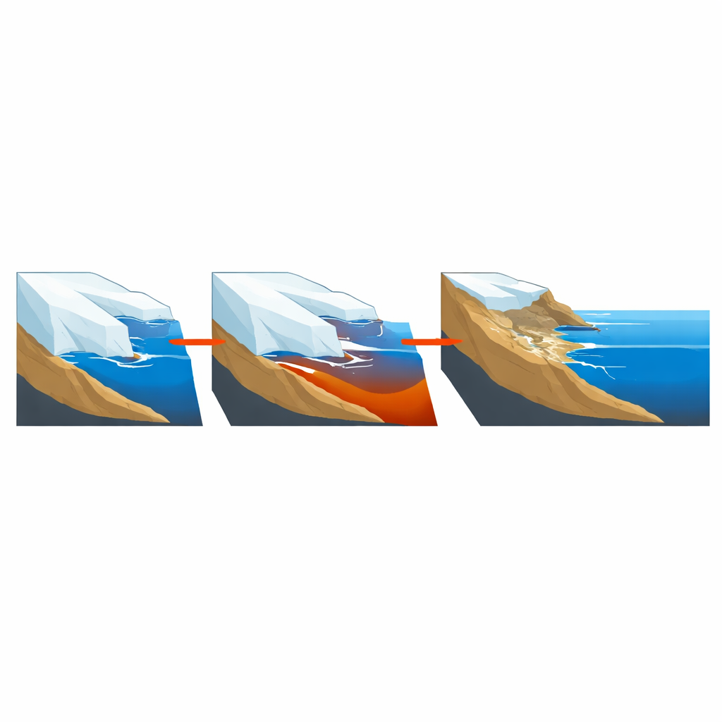
The simulations reveal two broad patterns of behaviour. In several regions, such as parts of the Antarctic Peninsula, ice volume declines gradually as the planet warms: more heat simply produces more loss, step by step. In contrast, a number of key basins show tipping dynamics. Here, warming produces only modest change up to a point, but once a critical temperature band is crossed, large portions of ice retreat quickly (on geological timescales), with little extra warming needed for near-complete loss. These jumps are driven by self-reinforcing processes such as marine ice-sheet instability, where retreating ice grounded on deepening bedrock slopes leads to faster ice flow and further retreat.
Early danger zones and long-term commitments
The most vulnerable basins turn out to be in West Antarctica. The Thwaites and Pine Island sector, the Ronne area, and the Ross West (Siple Coast) basin all show critical thresholds at or even below 1 degree Celsius of global warming above pre-industrial levels—temperatures Earth has already surpassed. Crossing these thresholds could ultimately commit the world to losing a large share of West Antarctica’s marine-based ice, equivalent to about 2 metres of sea-level rise, even though the full response would unfold over centuries to millennia. In East Antarctica, many basins appear more resistant, with major tipping behaviour appearing above about 6 degrees of global warming. However, some important regions such as Cook–Ninnis–Mertz and Totten–Moscow show significant thresholds between roughly 2 and 5 degrees, representing several additional metres of possible sea-level contribution.
Rethinking risk in a warming world
To translate these findings into a sense of risk, the authors combine three ingredients: the temperature at which each basin’s strongest loss occurs, the amount of long-term sea-level rise that this loss implies, and the total ice stored there today. This reveals a cluster of especially worrisome basins, including Totten–Moscow, Filchner, Ross East, Thwaites–Pine Island, Ross West, and Cook–Ninnis–Mertz. Crucially, the study stresses that sea level can rise substantially even before any single threshold is crossed, and that their results are a stability map, not a precise forecast. Some processes, such as the dramatic failure of tall ice cliffs, are not yet included, though tests suggest the broad patterns are robust.
What this means for our coastal future
In plain terms, the authors conclude that Antarctica is not a single switch waiting to flip, but a network of interacting “ice basins,” many with their own points of no return. Holding global warming close to today’s levels greatly reduces the chance of unlocking the most dangerous East Antarctic basins, but parts of West Antarctica may already be committed to long-term retreat. The choices made on greenhouse gas emissions over the coming decades will therefore play a decisive role in how many of these tipping systems are triggered—and in how much higher future seas will ultimately stand around the world.
Citation: Winkelmann, R., Garbe, J., Donges, J.F. et al. Mapping tipping risks from Antarctic ice basins under global warming. Nat. Clim. Chang. 16, 341–349 (2026). https://doi.org/10.1038/s41558-025-02554-0
Keywords: Antarctic ice sheet, climate tipping points, sea-level rise, West Antarctica, global warming thresholds