Clear Sky Science · en
ENSO phase transition enables prediction of winter North Atlantic Oscillation one year ahead
Why this matters for everyday weather
The ups and downs of European winters—whether they turn out stormy, mild, or bitterly cold—are strongly influenced by a large-scale wind pattern over the North Atlantic called the North Atlantic Oscillation (NAO). At the same time, the tropical Pacific’s famous El Niño and La Niña events regularly make headlines for reshaping weather around the globe. This study shows that when El Niño flips to La Niña, or vice versa, that tropical switch can help scientists predict the state of the North Atlantic atmosphere a full year in advance, opening the door to earlier warnings for sectors such as energy, transport, and agriculture.
A key pattern over the Atlantic
The NAO describes a see-saw in air pressure between the Azores and Iceland that steers the jet stream and storm tracks across the North Atlantic. In its positive phase, westerly winds strengthen, often bringing milder, wetter winters to northern Europe; in its negative phase, cold air can plunge southward, increasing the risk of snow and prolonged freezes. Because this pattern drives so many weather extremes, forecasters have long sought reliable ways to predict the NAO months to years ahead. Short-term, seasonal forecasts have made progress, but pushing skill out to a full year has proven difficult, limiting how far in advance planners can confidently prepare.
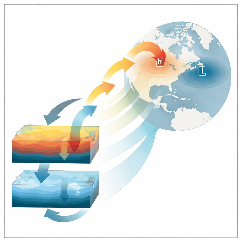
El Niño’s delayed influence
The authors focus on the El Niño–Southern Oscillation (ENSO), the natural warming and cooling of the tropical Pacific that alternates between El Niño and La Niña. Rather than looking only at the immediate winter response, they examine what happens when ENSO changes phase from one year to the next—a transition from El Niño to La Niña or the reverse. Using long records of observations and a large collection of climate prediction models, they find that winters following such transitions show stronger and more predictable NAO behavior than winters when ENSO simply stays in the same phase. Periods in history with many ENSO transitions line up closely with periods when models did an unusually good job at predicting the NAO one year ahead.
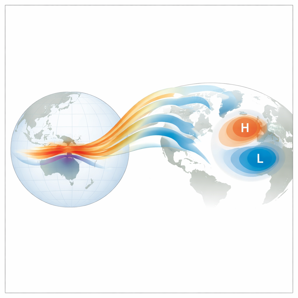
A slow atmospheric bridge
Why does a tropical phase flip echo so strongly in the North Atlantic a year later? The study highlights a subtle but powerful link involving atmospheric angular momentum—a measure of how the atmosphere’s winds carry the Earth’s spin. During ENSO transition years, the first winter’s El Niño or La Niña generates strong anomalies in this momentum near the tropics. These anomalies then drift slowly poleward over many months, eventually reaching higher latitudes where they reshape wind patterns over the North Atlantic. In observations, this northward march is clear, and models are able to capture it during transition years. When ENSO does not change phase, by contrast, the momentum anomalies remain weak and trapped closer to the equator, and the NAO a year later is much less organized and harder to predict.
Power in numbers: using big ensembles
The researchers also ask how many forecast simulations—known as ensemble members—are needed to tap into this source of predictability. They show that during ENSO transition years, adding more ensemble members steadily boosts the reliability of one-year NAO forecasts. Once the ensemble grows beyond about ten members, the real world appears more predictable than the models themselves would suggest, a phenomenon known as the “signal-to-noise paradox.” In simple terms, the atmosphere seems to follow a clearer script than the models assume when a strong ENSO phase change is underway, so large ensembles are especially valuable for revealing the emerging pattern.
What this means for future forecasts
For non-specialists, the takeaway is that not all years are equally predictable. When the tropical Pacific is in the midst of switching between El Niño and La Niña, the atmosphere sets up a chain reaction that can pre-condition North Atlantic winds and storms for the following winter. By recognizing these transition years, and by running many model simulations, forecasters can make more confident year-ahead statements about likely winter conditions over Europe and surrounding regions. Although other influences still matter, this work points to ENSO phase transitions as a practical early-warning signal that can be harnessed to improve long-range climate services that society increasingly depends upon.
Citation: Kim, K., Lee, MI., Scaife, A.A. et al. ENSO phase transition enables prediction of winter North Atlantic Oscillation one year ahead. Nat Commun 17, 2588 (2026). https://doi.org/10.1038/s41467-026-70646-2
Keywords: El Niño–Southern Oscillation, North Atlantic Oscillation, seasonal climate prediction, atmospheric teleconnections, long-range weather forecasts