Clear Sky Science · en
Antecedent moisture enhances early warning of atmospheric river flood hazards
Why storm-soaked ground matters
People who live along rivers or in coastal valleys know that some storms just seem to "bounce off" the land while others push rivers over their banks. This study looks at a particular kind of storm, called an atmospheric river, that carries huge amounts of moisture through the sky. By asking why storms of similar strength sometimes bring very different levels of flooding, the researchers show that how wet the ground is before the storm arrives can dramatically change the outcome—and that our early-warning tools should account for this.
Rivers in the sky and floods on the ground
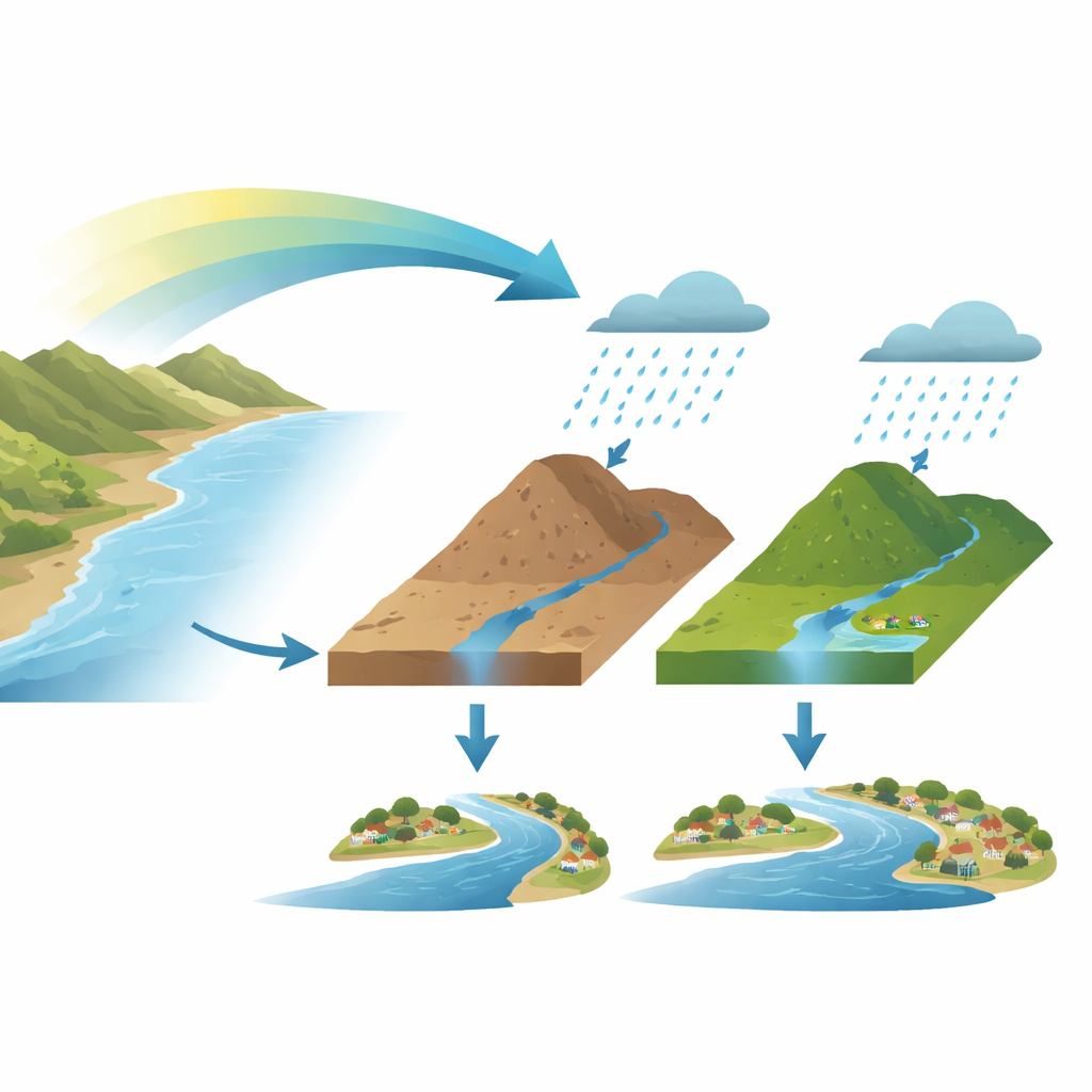
Atmospheric rivers are long, narrow bands of moist air that can deliver more water in a day than the Amazon River carries at the surface. When they hit land in places like California and central Chile, they can refill reservoirs, end droughts, and recharge groundwater. But they are also behind most of the damaging floods in these regions. To help forecasters and emergency managers, a commonly used scale ranks these storms from 1 (mostly helpful) to 5 (mostly hazardous) based only on how much water vapor they transport and for how long. This scale is attractive because it is simple and can be applied days in advance, before detailed rain forecasts are available.
When storm strength and flood size do not match
Using records from more than 70,000 atmospheric river landfalls between 1950 and 2023 across 142 river catchments in California and central Chile, the authors asked how well the existing scale lines up with what rivers actually did. They found that these storms are responsible for the vast majority of cool-season floods, yet only about 5% of all landfalling atmospheric rivers end up causing flooding. Many high-ranked storms never push rivers above typical flood levels, while a noticeable fraction of lower-ranked storms do. Statistical checks confirmed that, although higher-ranked storms tend to bring more rain, their rank only weakly predicts peak river flow.
Soaked soils as the hidden amplifier
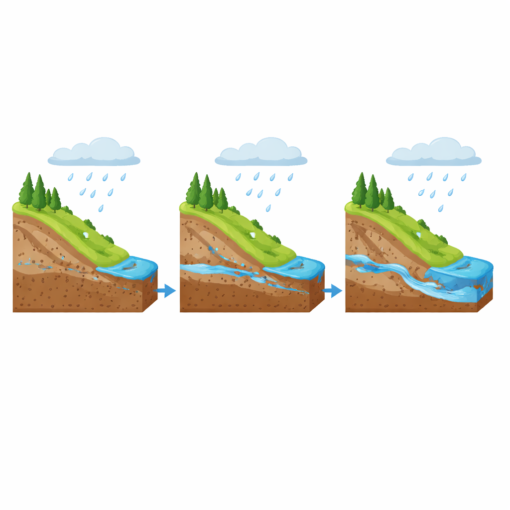
To understand this mismatch, the researchers separated the role of the atmosphere from that of the land. After accounting for the storm ranking, they examined what other factors explained the remaining ups and downs in river response. Three processes stood out: how efficiently the storm’s moisture turned into rain or snow, how much of that precipitation became quick runoff versus soaking in, and how high the rivers already were before the storm. Across most catchments, the dominant influence was runoff efficiency—essentially, the share of storm water that rapidly drains into streams. Further analysis showed that, in rain-dominated regions, this runoff efficiency is mainly controlled by how wet the soils were in the days leading up to the storm. Dry soils can absorb more water, muting flood response, while near-saturated soils quickly shed additional rain into rivers.
A simple tweak to a familiar warning scale
Building on this physical picture, the team proposed a modest but powerful change to the atmospheric river scale. Instead of discarding it, they keep the existing storm-strength ranking and then adjust it up or down by one step depending on how unusually wet or dry the preceding three months have been at each location. They use a rainfall-based index that tracks whether recent precipitation has been above or below the local norm, which serves as a practical stand-in for soil moisture and is easy to calculate anywhere with basic rain data. If conditions are much wetter than usual, a storm is bumped up a category; if they are much drier, it is nudged down; otherwise, the original category is kept.
Clearer signals for those in harm’s way
When this ground-moisture adjustment is applied, the modified scale does a far better job of singling out storms that actually produce floods. In California, the share of flood-generating atmospheric rivers labeled in the top two categories jumps from about two-thirds to more than four-fifths; in central Chile, it rises from roughly half to nearly two-thirds. The relationship between storm rank and peak river flow roughly doubles in strength, meaning that each higher step on the scale now corresponds to a more meaningful increase in expected flood size. The improvement holds on both sides of the equator, suggesting that this approach can be extended to other mid-latitude regions where atmospheric rivers play a major role. In plain terms, the study shows that to judge flood danger from these powerful storms, we must look not just to the sky but also to how wet the land has been—a relatively simple change that could make early warnings more reliable and actionable for communities downstream.
Citation: Webb, M.J., Albano, C.M., Bozkurt, D. et al. Antecedent moisture enhances early warning of atmospheric river flood hazards. Nat Commun 17, 2693 (2026). https://doi.org/10.1038/s41467-026-69286-3
Keywords: atmospheric rivers, flood forecasting, soil moisture, early warning systems, California and Chile