Clear Sky Science · en
Global impacts of transportation infrastructure on forest degradation and loss
Why roads and forests matter to everyone
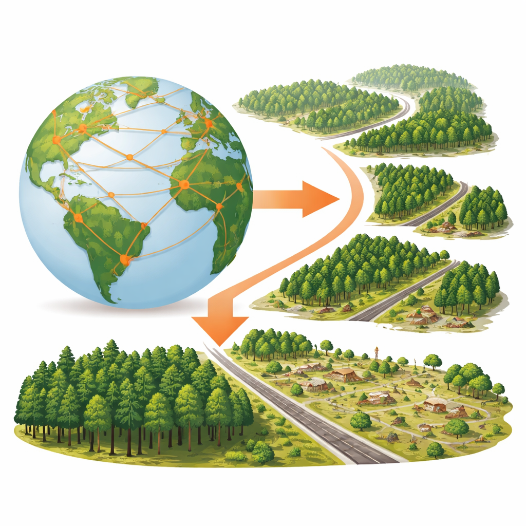
From the food on our plates to the phones in our pockets, nearly everything we use has traveled along a road. But those same roads quietly reshape the world’s forests, which store carbon, shelter wildlife, and stabilize climate. This study looks beyond simple “forest lost or not” maps to show how transportation infrastructure—mainly roads and railways—alters forests’ structure, health, and ability to absorb carbon, across every continent.
Looking at forests in four dimensions
Most global assessments of forest damage focus on whether trees are still standing. The authors argue this is not enough. Using high‑resolution satellite images and detailed road maps, they examined four aspects of forests in 1‑kilometer squares worldwide: how much of each square is covered by trees, how chopped up those trees are into many small patches, how tall the canopy is, and how much plant growth occurs each year—a stand‑in for how much carbon the forest takes up. They also built a careful comparison system that matches road‑adjacent forest with nearby forest under similar climate, soil, and terrain but farther from roads. This allowed them to isolate what roads themselves are associated with, rather than differences in steepness, rainfall, or other natural factors.
What happens to forests near roads
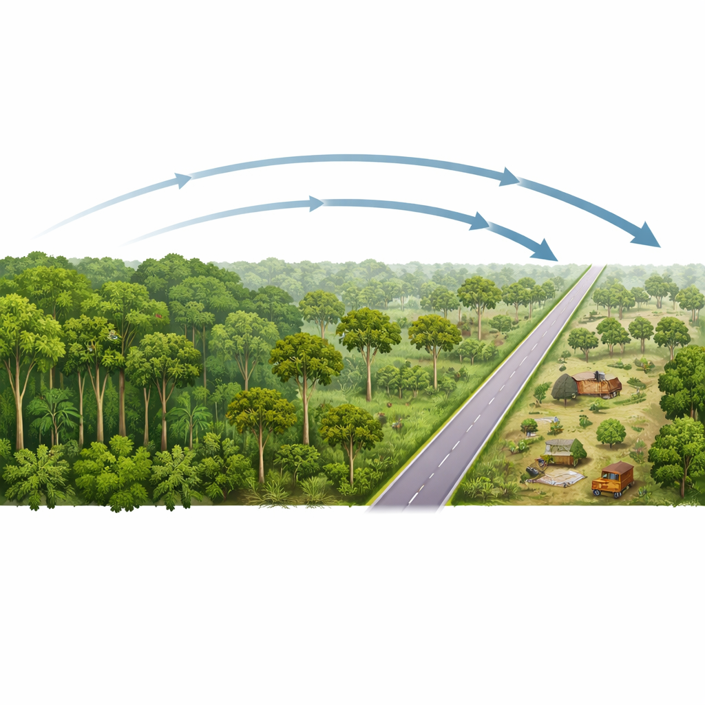
The results show that forests close to transportation infrastructure are consistently more degraded than their carefully chosen counterparts farther away. Within one kilometer of roads, forest cover is on average nearly one‑fifth lower, trees are about three meters shorter, plant growth is reduced, and forests are more fragmented into many small pieces. These effects are not confined to the road edge: detectable impacts extend out to five kilometers, though they weaken with distance. When the researchers add up all of these differences, they estimate that forests in road‑influenced zones have lost the equivalent of 4.26 million square kilometers of forest area—about a tenth of the planet’s remaining forest in 2020. Much of this impact is concentrated in the tropics, and especially in South America, Asia, and Africa.
A divided world: Global South versus Global North
The study reveals a stark geographic split. In the Global South, particularly tropical countries like Brazil, Congo, Cambodia, and others, road‑side forests show strong declines in cover and height, more fragmentation, and weakening growth, with these problems worsening between 2000 and 2020. In contrast, many parts of the Global North, especially Europe, show mild road‑related impacts and some signs of recovery: forest cover and height around roads have slightly improved, and growth has increased in places where restoration programs and changing land use have allowed regrowth. Yet even in regions where trees are rebounding, roads still fragment habitats and can disrupt animal movement and spread invasive species, impacts not always visible in simple tree metrics.
People’s footprint and limits of protection
To understand why road impacts differ from place to place, the authors compared their forest metrics with independent measures of human pressure, including a human footprint index and nighttime light intensity. Wherever these indicators are higher, the differences between road‑side forests and their reference areas are larger: more clearing, shorter trees, and greater fragmentation. The relationship is especially steep when human pressure begins to rise from low levels, suggesting that early waves of development can rapidly damage previously intact forests. Protected areas do soften the blow: inside parks and reserves, road‑related losses and fragmentation are generally smaller than in surrounding unprotected landscapes. However, in many tropical protected areas, particularly in South America and Africa, road‑linked degradation is still strong and has continued to worsen, indicating that legal protection on paper does not always stop logging, farming, or mining once roads provide access.
Why this changes how we think about deforestation
A key message of the work is that forests can be degraded even when satellite maps still color them green. The study finds that in most places, different forest indicators do not move in lockstep: a patch may keep similar tree cover while losing height, becoming more fragmented, or absorbing less carbon. This “cover‑neutral degradation” often reflects selective logging of large trees or edge effects along new clearings, both closely tied to road access. By treating roads as a choice shaped by governance—where to build them, how to enforce rules along them, and whether to pair them with strong conservation—the authors argue that societies can steer a different path. Concentrating new roads in already altered landscapes, mapping and regulating informal “ghost roads,” strengthening tropical park enforcement, and planning transport together with forest protection would allow economic development while keeping forests standing tall, connected, and storing carbon.
Citation: Zhou, D., Xiao, J., Liu, S. et al. Global impacts of transportation infrastructure on forest degradation and loss. Nat Commun 17, 2339 (2026). https://doi.org/10.1038/s41467-026-69150-4
Keywords: roads and deforestation, forest fragmentation, tropical forest degradation, human footprint on forests, infrastructure and conservation