Clear Sky Science · en
Expanding forest research with terrestrial LiDAR technology
Why 3D forests matter to everyone
Forests do far more than provide scenery and timber: they store carbon, cool the air, shelter wildlife, and buffer climate extremes. Yet many of the decisions we make about climate policy, conservation, and land use still rely on surprisingly simple measurements of trees. This article explains how ground-based laser technology—called terrestrial LiDAR—is giving scientists a radically more detailed, three-dimensional view of forests, helping them build realistic digital versions of woods and track how logging, fire, and climate change are reshaping them over time.
New eyes on the forest
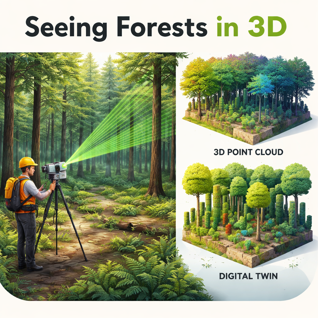
For decades, satellites and aircraft have mapped forests from above, revealing where trees grow and how they change over time. Terrestrial LiDAR shifts the viewpoint to the forest floor. A scanner on a tripod sends out rapid laser pulses and measures how long they take to bounce back from trunks, branches, leaves, and even fallen logs. The result is a dense “point cloud” that captures the exact 3D arrangement of plant material. Compared with traditional field tape measurements or photos, these scans are faster, more detailed, and less biased, especially in dense or uneven terrain. Recent advances in hardware have made scanners smaller, cheaper, and quicker, opening the door for many more research groups to use them.
Building digital forests
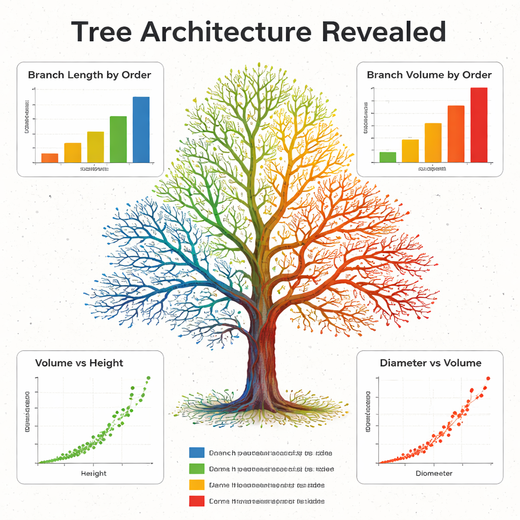
Once collected, LiDAR points can be converted into lifelike digital trees and stands. Algorithms wrap the points in simple shapes—often short cylinders—to reconstruct every major branch in what are called quantitative structure models. In effect, scientists can weigh and measure a tree without cutting it down, estimating its total wood and how that wood is distributed from trunk to twigs. These digital trees feed into “digital twins”: highly detailed computer versions of forests that can be used to simulate how light moves through a canopy, how photosynthesis responds to shifting seasons, or how tree shapes emerge from genetics and environment. This level of realism helps bridge the gap between small field plots and global satellite observations.
Rethinking forest inventories
Terrestrial LiDAR is also transforming the way we count and monitor trees at larger scales. National forest inventories traditionally rely on people measuring trunk diameters and heights on sample plots. LiDAR can provide those same basic numbers with centimeter accuracy, while simultaneously capturing crown width, crown volume, the space each tree occupies, and how tightly leaves are clumped. Because all of this is stored in 3D, old scans can be reprocessed with new algorithms, and repeated scans can reveal how stems, crowns, and even fine branches grow or deform after thinning, storms, or drought. This richer picture helps refine models that convert tree size into wood volume and carbon, and it reveals regional and management-driven differences that older methods often missed.
Seeing structure, habitat, and disturbance
Looking beyond single trees, LiDAR allows scientists to quantify how foliage and branches fill space throughout an entire stand. They can measure how many layers a forest has, how open or closed the canopy is, and how complex the structure is in both height and width. These patterns turn out to be closely tied to biodiversity and resilience. Complex canopies tend to support more species and can keep producing wood even as forests age. Detailed 3D maps also reveal how logging, fire, fragmentation, and large herbivores reshape forests. Studies have used LiDAR to show that trees at Amazon forest edges grow differently and store less biomass, that logging scars remain visible in the vertical structure decades later, and that surface fires carve out understory vegetation in ways that vary from site to site.
Challenges and the road ahead
Despite its promise, terrestrial LiDAR is not a magic replacement for simple tools. High-end scanners remain expensive, and field work can be slowed by wind, rain, and difficult terrain. Processing the huge volumes of data still demands specialized software and expertise, and international standards for how to scan and share data are only beginning to emerge. Even so, ongoing progress in artificial intelligence, shared datasets, and coordinated networks is steadily lowering these barriers. The authors conclude that terrestrial LiDAR has already become a key part of the global toolkit for understanding forests, offering the structural detail needed to link ground measurements, ecological theory, and satellite monitoring—and helping society manage and protect forests in a rapidly changing world.
Citation: Maeda, E.E., Brede, B., Calders, K. et al. Expanding forest research with terrestrial LiDAR technology. Nat Commun 16, 8853 (2025). https://doi.org/10.1038/s41467-025-63946-6
Keywords: terrestrial LiDAR, forest structure, digital forests, forest disturbance, carbon storage