Clear Sky Science · en
Spatiotemporal urban-water interactions in upper Min River settlements within a triaxial framework
Why Rivers Shape the Places We Live
Rivers do far more than carry water downhill. They decide where towns appear, how streets twist and turn, and even how people think about home, safety, and beauty. This article looks at four historic settlements along the upper Min River in southwest China to ask a simple but powerful question: how have people and water shaped each other over thousands of years, and what can that story teach us about caring for river towns today? 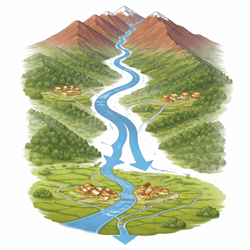
A Mountain River as a Living Spine
The upper Min River drops from high plateaus into a broad plain, passing old military outposts, ethnic villages, and trading towns along the way. The authors zoom in on four of these places—Songpan, Taoping, Shuimo, and Guanxian—as a single linked system rather than four isolated dots on a map. Each lies on a different part of the river: near the headwaters, on side valleys, or at the outlet to the lowlands. Together, they show how one river can host very different ways of living with water, from fortress-like hill towns to communities wrapped around irrigation works that still function today.
Following Three Axes: Time, Space, and Use
To make sense of this complexity, the study introduces a “triaxial” framework with three simple questions. First, how have water and settlements changed over time—from ancient defense and survival, through trade and industry, to today’s tourism and conservation? Second, how is water arranged in space—only as a distant boundary, or woven into streets and courtyards through channels and side streams? Third, what is water mainly used for in each period—drinking and farming, protection from enemies, moving goods, preventing floods, or creating scenery and cultural meaning? By plotting each town along these three axes, the authors rebuild its long-term storyline and then compare all four cases as parts of one watershed.
Four Towns, Four Ways of Living With Water
Each settlement reveals a distinct partnership with the river. Songpan began as a frontier stronghold where valleys and rivers served as natural walls; later, walls, bridges, and pools turned raw watercourses into a deliberate urban structure, and today the same layout supports heritage tourism and memory of the border past. Taoping, a Qiang village in a side valley, hides a remarkably intricate water network: mountain springs feed underground and open channels that cool narrow lanes, drive mills, irrigate fields, and once helped residents withstand attacks. After a major earthquake, a new village by the river took on modern housing and tourism, while the old stone core keeps its historic water system alive as both daily utility and heritage.
Shuimo shows how a river town can be remade. Long tied to small-scale farming and trade, it drifted into polluting industry that pushed water to the margins. The 2008 earthquake shattered that pattern and opened the door to rebuilding Shuimo as a landscape town. Planners reshaped the Shouxi River into an “outer river–inner lake” arrangement that handles floods, supports cleaner water, and frames promenades, bridges, and public squares aimed at visitors and residents alike. At the river’s outlet, Guanxian demonstrates the opposite: continuity. Here, the ancient Dujiangyan irrigation system, which splits the Min River and channels it through town, still directs water for farming and everyday life. Streets, bridges, shrines, and offices sit precisely where they can watch and manage the flow, turning hydraulic engineering into a lived cultural scene. 
What People Notice—and What They Miss
To understand how these places feel today, the researchers analyzed thousands of online travel reviews and interviewed residents. Visitors tend to focus on striking images and grand stories—fortress walls, post-earthquake rebuilding, or famous irrigation works—while locals talk more about practical matters like markets, cooling breezes in narrow lanes, or the reliability of water for crops. In some towns, souvenir shops and light shows crowd out older, quieter relationships with water. In others, such as Taoping, the most ingenious parts of the water system run underfoot and are easy for outsiders to overlook. These mismatches highlight a risk: if water is treated mainly as a backdrop or spectacle, the deep know-how that made these settlements resilient may fade from use.
Lessons for River Towns Around the World
By tracing how these four communities have constantly renegotiated their ties to the river—under pressure from terrain, trade routes, disasters, and new planning rules—the authors show that urban water history is not a straight line from “primitive” to “modern pipes.” Instead, it is a series of rebalancing acts between survival, economy, belief, and beauty. Their three-axis method offers a way for planners and conservationists elsewhere to see historic river towns as parts of whole watersheds and to protect both visible landscapes and hidden water structures. In plain terms, the study argues that caring for these places means treating rivers not just as hazards or ornaments, but as partners in long-term, shared living.
Citation: Wei, X., Yang, Y., Ma, J. et al. Spatiotemporal urban-water interactions in upper Min River settlements within a triaxial framework. npj Herit. Sci. 14, 163 (2026). https://doi.org/10.1038/s40494-026-02442-6
Keywords: river towns, urban water, cultural heritage, China mountains, watershed planning