Clear Sky Science · en
Automatic detection and site-scale vegetation shift analysis for individual heritage buildings along the Great Wall
Why plants can threaten ancient stone
The Great Wall of China is famous for its sweeping views of stone ramparts, but many of its most vulnerable parts are the smaller watchtowers and beacon towers scattered along the route. These individual buildings are slowly being pulled apart by roots and moisture from nearby plants. The study behind this article shows how new computer tools and satellite data can be combined to track where vegetation around these structures is getting thicker, helping conservators decide where to act before damage becomes irreversible. 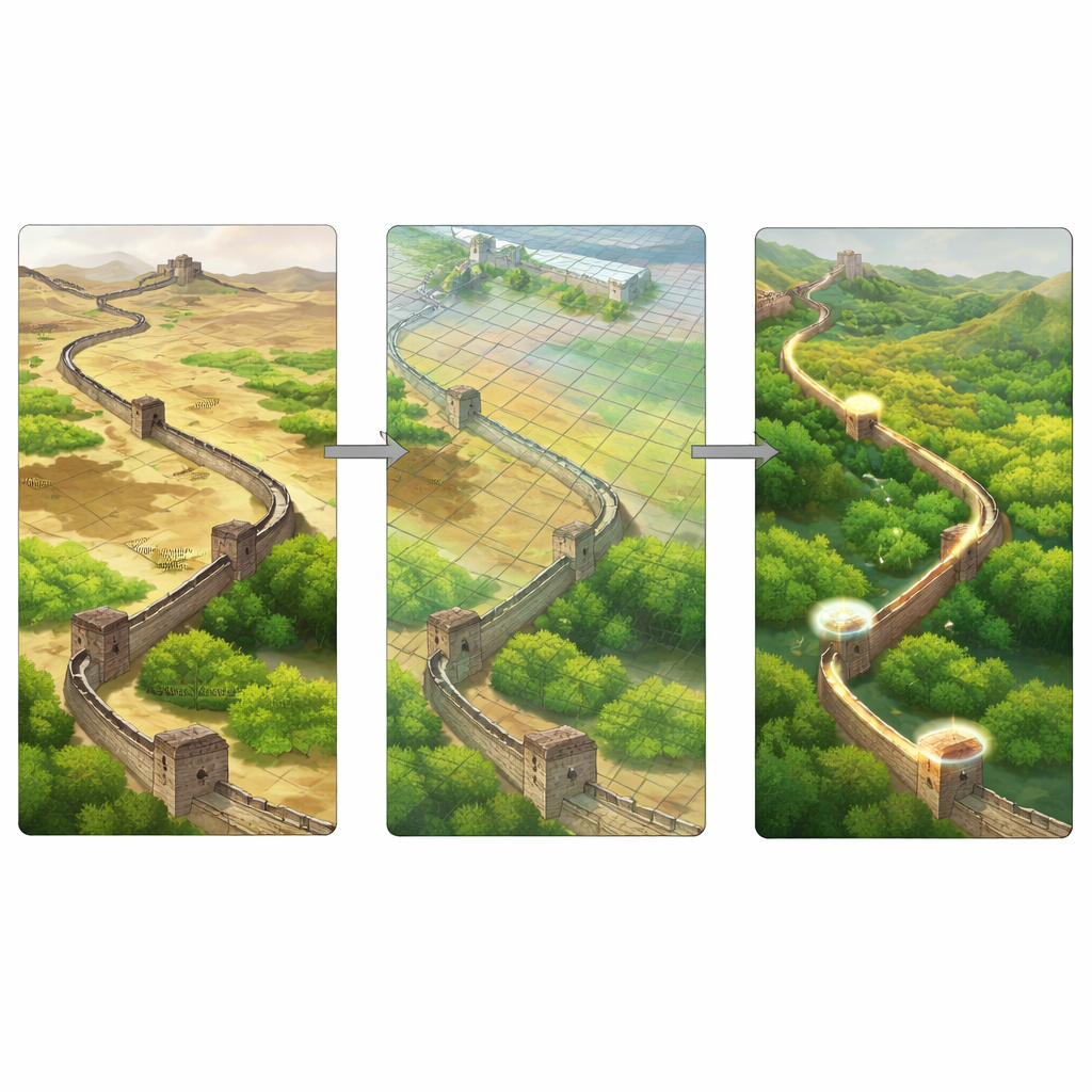
Hidden buildings in a vast landscape
From the ground, individual heritage buildings along the Wall are easy to miss. Many are made from packed earth that looks almost the same as the surrounding hills. They are small, weathered, and scattered across more than 250 kilometers of rugged terrain in Shaanxi Province. Traditional surveys require experts to inspect aerial photos one by one, a slow and inconsistent process. Without precise outlines of each tower, it is hard to define the “site” that needs monitoring, or to say how the immediate surroundings have changed through time.
Teaching computers to spot old towers
The researchers developed a specialized image-analysis system called IHBSegNet to automatically outline these small structures in high‑resolution satellite images. The system is built on modern deep‑learning techniques that excel at recognizing patterns in pictures. Because the towers blend into their background, the authors designed several added “attention” modules that help the network focus on subtle differences in shape and texture. Trained on carefully hand‑labeled samples, the model was able to find and trace tower footprints more accurately than several leading image‑segmentation methods, while remaining efficient enough to apply across large areas.
Reading vegetation history from space
Once the team could reliably locate each building, they turned to a different kind of satellite product that summarizes how the land surface behaves over an entire year. Instead of working with single snapshots that might be obscured by clouds or seasonal quirks, they used so‑called satellite embeddings: compact numerical descriptions that capture a full season of changes at every 10‑meter pixel. By grouping pixels with similar embedding patterns using an unsupervised clustering method, they divided the landscape into four easy‑to‑interpret vegetation density types: bare or built‑up, sparse, moderate, and dense cover. This process was repeated for each year from 2017 to 2024, creating a clean sequence of vegetation maps for the Great Wall corridor. 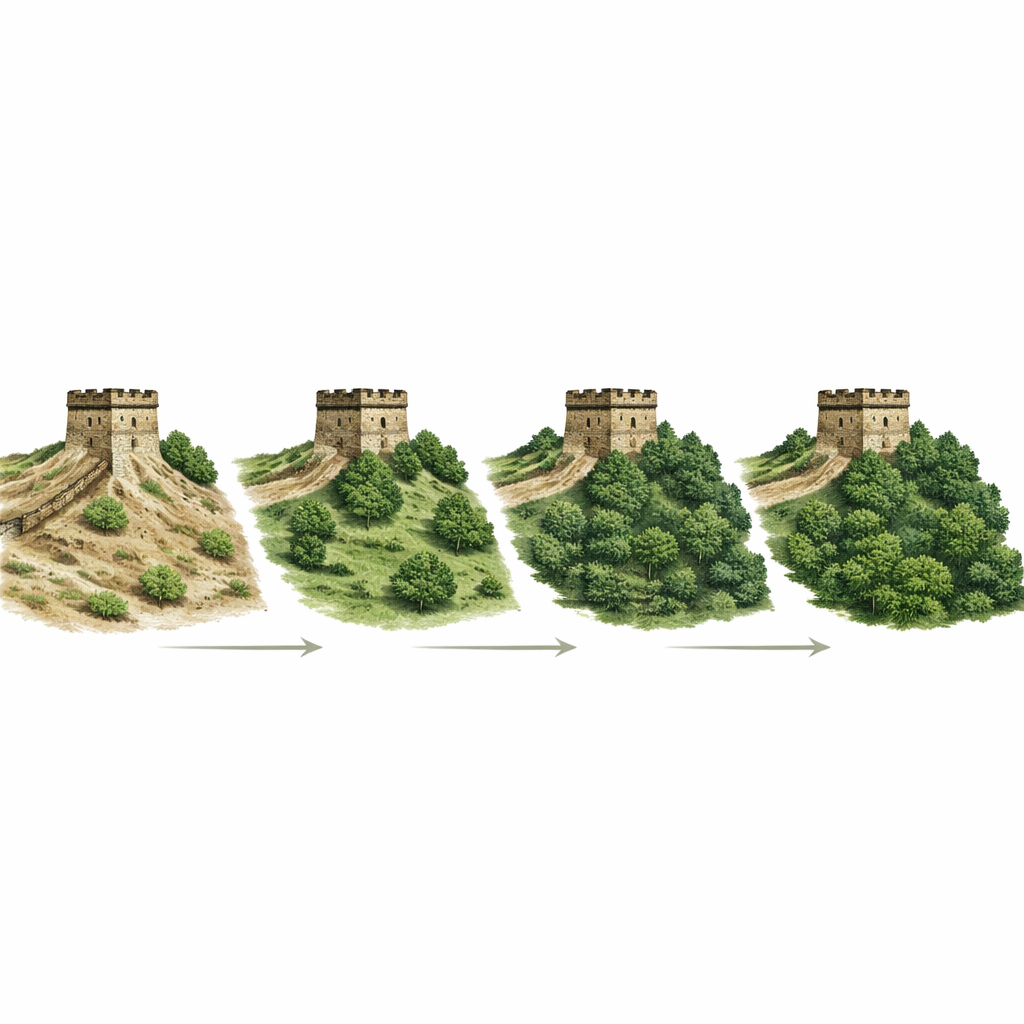
Tracking local change around each tower
With tower outlines and yearly vegetation maps in hand, the researchers overlaid them to ask a simple question: for the ground immediately inside each tower’s footprint, did vegetation become thicker, thinner, or stay roughly the same over seven years? They treated the four vegetation types as ordered steps from bare to dense and computed how many steps each pixel moved between 2017 and 2024, then averaged these shifts for every building. Most of the 550‑plus detected towers in the Fugu, Shenmu, and Yuyang areas showed little net change, suggesting relatively stable surroundings. However, 67 sites stood out with strong shifts, and in Fugu and Yuyang most of those were toward denser cover—signaling growing pressure from roots and added moisture on fragile earthen walls.
From maps to conservation decisions
The resulting framework does more than produce attractive maps: it gives heritage managers a ranked list of towers where creeping vegetation is most likely to be undermining stability. Because the method relies on open remote‑sensing data and a reusable detection model, it can be extended to other parts of the Great Wall or even to different linear heritage sites worldwide. While the authors note that very overgrown or poorly visible buildings and short‑term vegetation swings can still escape notice, their approach marks the first time that vegetation shifts have been quantified building by building along this iconic monument. In practical terms, it offers a way to turn global satellite streams into local early‑warning signals that help safeguard ancient structures from being quietly dismantled by the living landscape around them.
Citation: Zheng, D., Wang, S., Feng, H. et al. Automatic detection and site-scale vegetation shift analysis for individual heritage buildings along the Great Wall. npj Herit. Sci. 14, 161 (2026). https://doi.org/10.1038/s40494-026-02422-w
Keywords: Great Wall conservation, heritage buildings, remote sensing, vegetation change, deep learning